Port Fairy Beach at Beach Street is a calm, sheltered stretch along the Shipwreck Coast, popular for families and snorkellers thanks to its gently sloping sands and protected waters. Located near the mouth of the Moyne River on Victoria's southwest coast, the beach offers easy shore access and is often calm enough for spotting small reef fish around the shallow kelp forests. The adjacent rock pools and reef structure at nearby Pea Soup Beach provide additional underwater exploration opportunities. It's a peaceful alternative to the more exposed South Beach, with safe swimming conditions when patrolled.
Port Fairy Beach (Beach Street)
BeginnerSKIP
SKIP
Poor conditions. Stay out today.
Showing last known conditions
Wave Height 1.0 mSwell Period 10 sWind Speed 18 knPrecipitation 29 mmTidal Phase slack
Last evaluated
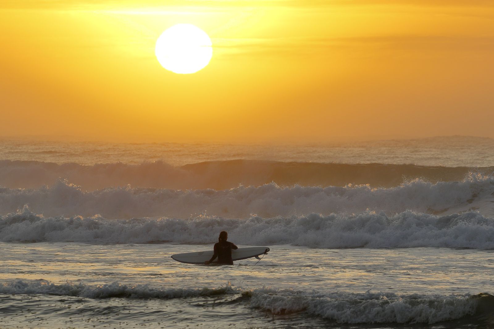 © Ed Dunens
The spot
Community-maintained
Community contribution: submitted by Daniel
Know before you go
Logged by the community, confirmed by mods
Low risk: Rip currents
Occasional rips can form, particularly near the river mouth and at East Beach. Swim between the flags when patrolled.
Low risk: Uneven ocean floor
The ocean floor can be a little uneven in places near the reef and rock pools, requiring care when entering the water.
Low risk: Variable swell conditions
When swells pick up from the Southern Ocean, conditions can deteriorate. Check conditions before entering.
Wildlife Guide
No wildlife notes for this spot yet.
Gallery
3 photos from the community
Getting in
Shore entry
Entry
Beach Street runs off the main Princes Highway in Port Fairy, approximately 3 hours west of Melbourne. The beach is a short walk from the town centre and the Port Fairy Surf School.
Parking & facilities
Street parking is available along Beach Street and surrounding streets. Additional parking can be found at the nearby East Beach carpark and along the foreshore reserve.
toiletsparking
No entry fees. Free public access.
Spot Map
Community
Gallery ┬╖ 3 photos
Trust
Is this spot real, accurate, still loved?
Spots near Victoria

No nearby spots yet.
Needs verification
Quick verify
One tap helps the community keep this spot honest.
About this data
- Conditions last evaluated
- Spot data last updated
- Data sources
- Open-Meteo (marine & weather conditions), tide predictions via UTide, community contributors (descriptions, hazards, marine life).
- License
- Spot content licensed under CC BY-SA 4.0. How's the Spot is open source.
Weather & swell ┬╖ Open-Meteo marine & weather APIs Tides ┬╖ UTide harmonic analysis Sea & safety ┬╖ community reports