Point Samson Main Beach is a protected, sandy swimming and snorkelling beach on the Pilbara coast, nestled in the lee of the Point Samson peninsula. Its calm, shallow waters offer easy access to patchy coral gardens and rocky reef habitats teeming with tropical fish. The beach faces west over the Indian Ocean, making it a popular spot for sunset snorkels. Sheltered from the prevailing south-easterlies, the water clarity is often good, and the gentle slope entry makes it suitable for all ages. It's the go-to beach in this tiny coastal town, beloved by locals and visitors alike for its relaxed vibe and direct shore-entry snorkelling.
Point Samson Main Beach
BeginnerGO
GO
It's a go.
Showing last known conditions
Wave Height 0.0 mSwell Period 2.1 sWind Speed 0.1 knPrecipitation 0.0 mmTidal Phase flood
Last evaluated
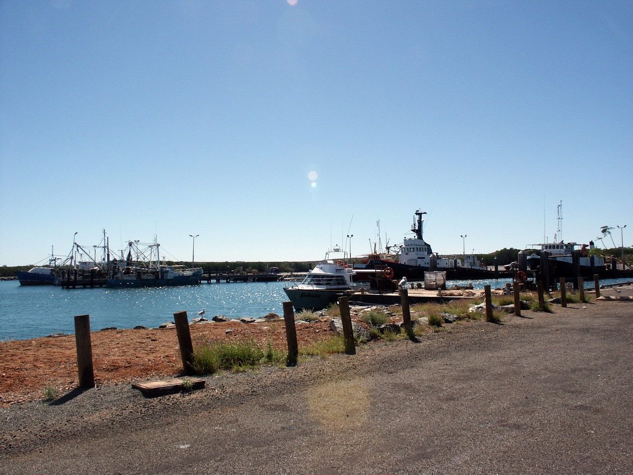 © Nachoman-au
DANGER: Explicit Risks Present
Point Samson Main Beach has hazards marked as danger. Entering the water here means you may face serious risks to your personal safety.
- Tropical Cyclones (Nov–Apr) danger
Tropical cyclones can cause dangerous surf, swell, and beach closures.
The spot
Community-maintained
Community contribution: submitted by Daniel
Know before you go
Logged by the community, confirmed by mods
High risk: Tropical Cyclones (Nov–Apr)
Tropical cyclones can cause dangerous surf, swell, and beach closures.
Moderate risk: Stinger season (box jellyfish)
Box jellyfish (stingers) may be present in warmer months from November to May in Pilbara waters.
Moderate risk: Cyclones (Nov-Apr)
The Pilbara coast is prone to tropical cyclones between November and April, which can cause dangerous surf conditions, beach erosion, and debris.
Moderate risk: Box Jellyfish (Nov–Apr)
Box jellyfish and other stingers may be present in the warmer months.
Low risk: Tidal Currents
Strong tidal flows can develop around the jetty remnants and reef edges, particularly on outgoing tides.
Low risk: Marine Stingers
Box jellyfish and other stingers may be present during warmer months.
Low risk: Extreme Summer Heat
The Pilbara summer heat is intense (40°C+); dehydration and sunburn are real risks.
Low risk: Cyclone Risk
Tropical cyclones can cause dangerous swells and sudden beach closures.
Low risk: Outgoing tide current
Tidal movements can create currents near the rocky edges of the beach, especially on an outgoing tide. Stick to the sandy centre.
Low risk: Sharp coral/rocky reef
Sharp coral and rocky reef patches close to shore; reef shoes recommended.
Low risk: Tidal changes
Snorkeling is best at half to high tide; at low tide the reef is exposed and not swimmable. Beware of being caught out by the rapidly dropping tide.
Low risk: Sharp reef at low tide
When the reef is exposed at low tide, rocks and coral can be sharp underfoot. Wear reef shoes if walking on the reef flat.
Low risk: Marine stingers (Nov-Apr)
Box jellyfish and other marine stingers may be present in warm Pilbara waters during the summer months.
Low risk: Sharp Reef / Coral
Exposed reef platform and rocky bottom can cause cuts; reef shoes are strongly recommended.
Wildlife Guide
No wildlife notes for this spot yet.
Gallery
6 photos from the community
Getting in
Shore entry
Entry
Point Samson is accessed via Roebourne-Point Samson Road off the North West Coastal Highway in Roebourne, about 40 km north of Karratha. Main Beach is just off Point Samson-Roebourne Road in the town centre.
Parking & facilities
Ample roadside parking near Main Beach; additional parking available at the pub side. Free on-site parking in town.
parkingtoilets
Free
Spot Map
Community
Gallery ┬╖ 6 photos
Trust
Is this spot real, accurate, still loved?
Spots near Western Australia

No nearby spots yet.
Needs verification
Quick verify
One tap helps the community keep this spot honest.
About this data
- Conditions last evaluated
- Spot data last updated
- Data sources
- Open-Meteo (marine & weather conditions), tide predictions via UTide, community contributors (descriptions, hazards, marine life).
- License
- Spot content licensed under CC BY-SA 4.0. How's the Spot is open source.
Weather & swell ┬╖ Open-Meteo marine & weather APIs Tides ┬╖ UTide harmonic analysis Sea & safety ┬╖ community reports