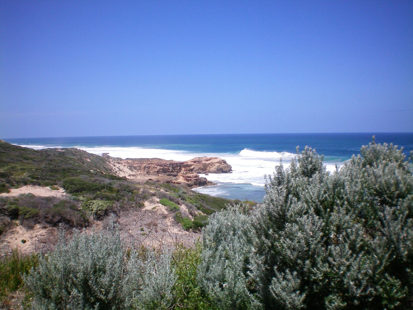
Stretching along the exposed ocean side of Point Nepean National Park near Portsea, the Back Beaches are a wild, windswept snorkeling frontier on the Great Southern Reef. Unlike the sheltered bay beaches, these Bass Strait-facing shores deliver dramatic underwater terrain carved by swell — caves, gullies, swim-throughs and limestone platforms teeming with kelp forests. The reward for tackling the notorious rips and surge is uncrowded waters, shipwreck relics, and encounters with wrasse, rays and Port Jackson sharks. This is advanced-level snorkeling for experienced water-goers only, best attempted on low tide after days of northerly winds.
Point Nepean Back Beaches
AdvancedSKIP
SKIP
Poor conditions. Stay out today.
Showing last known conditions
Wave Height 1.5 mSwell Period 12 sWind Speed 2.1 knPrecipitation 32 mmTidal Phase flood
Last evaluated
 © Ottre
DANGER: Explicit Risks Present
Point Nepean Back Beaches has hazards marked as danger. Entering the water here means you may face serious risks to your personal safety.
- Strong Rip Currents danger
All Back Beach sites are rip-prone due to shallow reefs and ocean swell. Rips are powerful even on relatively calm days and have caused drownings here.
- Ocean Swell & Surge danger
Exposed to Bass Strait swells. Surf and surge can be hazardous; considerable underwater surge even on calm-looking days. Only safe after several days of northerly winds.
The spot
Community-maintained
Community contribution: submitted by Daniel
Know before you go
Logged by the community, confirmed by mods
High risk: Strong Rip Currents
All Back Beach sites are rip-prone due to shallow reefs and ocean swell. Rips are powerful even on relatively calm days and have caused drownings here.
High risk: Ocean Swell & Surge
Exposed to Bass Strait swells. Surf and surge can be hazardous; considerable underwater surge even on calm-looking days. Only safe after several days of northerly winds.
Moderate risk: Tidal Currents (The Rip)
Proximity to 'The Rip' — the notorious narrow entrance to Port Phillip — means strong tidal currents can affect sites, with tidal ranges of several metres.
Moderate risk: Submerged Rocky Reefs
Shallow rocky reefs close to shore create hazards for swimmers and snorkelers, particularly in turbulent conditions.
Low risk: Slippery Rock Platforms
Entry and exit require using exposed limestone rock platforms at low tide. Slippery footing and sharp reef edges present a fall risk.
Wildlife Guide
No wildlife notes for this spot yet.
Gallery
3 photos from the community
Getting in
Shore entry
Entry
Located 110 km south of Melbourne in Point Nepean National Park, Portsea. Take M1, Eastlink (M3), then Mornington Peninsula Freeway (M11) to Portsea, continue along Point Nepean Road to the national park entrance. The Back Beaches are accessed via walking trails from the park. Park shuttle bus operates from Entrance Station Picnic Area.
Parking & facilities
Park at the Entrance Station Picnic Area carpark (100 m walk to shuttle stop) or the Quarantine Station carpark. Vehicles enter park 6am-6pm (6am-8pm daylight saving).
parkingtoiletspicnic_tablesdrinking_water
Vehicle entry fee applies to Point Nepean National Park. Check Parks Victoria website for current pricing.
Spot Map
Community
Gallery ┬╖ 3 photos
Trust
Is this spot real, accurate, still loved?
Spots near Victoria

No nearby spots yet.
Needs verification
Quick verify
One tap helps the community keep this spot honest.
About this data
- Conditions last evaluated
- Spot data last updated
- Data sources
- Open-Meteo (marine & weather conditions), tide predictions via UTide, community contributors (descriptions, hazards, marine life).
- License
- Spot content licensed under CC BY-SA 4.0. How's the Spot is open source.
Weather & swell ┬╖ Open-Meteo marine & weather APIs Tides ┬╖ UTide harmonic analysis Sea & safety ┬╖ community reports