Point Lonsdale Jetty extends into the clear turquoise waters of Port Phillip Heads Marine National Park on the Bellarine Peninsula. This historic wooden pier, first built in the 1890s, offers excellent shore-entry snorkelling around its pylons and the adjacent rocky reef. At low tide, nearby rock pools reveal a diverse array of marine life, while the jetty itself provides a sheltered vantage point for exploring the shallows. Part of the Port Phillip Heads Marine National Park, the area is well known for its clear summer waters and easy access from the beach.
Point Lonsdale Jetty
BeginnerSKIP
SKIP
Poor conditions. Stay out today.
Showing last known conditions
Wave Height 0.4 mSwell Period 12 sWind Speed 20 knPrecipitation 27 mmTidal Phase flood
Last evaluated
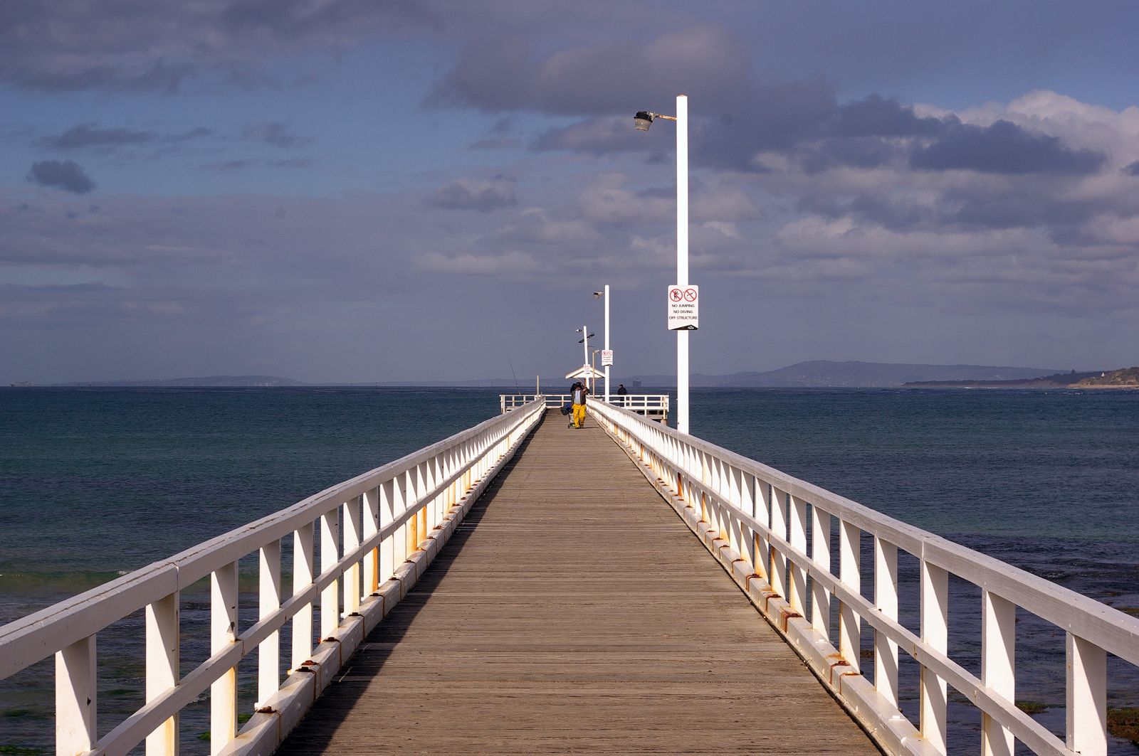 © Stephen Bain
The spot
Community-maintained
Community contribution: submitted by Daniel
Know before you go
Logged by the community, confirmed by mods
Moderate risk: Rip Currents at The Rip
Strong tidal currents flowing through the nearby entrance to Port Phillip Bay (The Rip) can create unpredictable surge conditions around the jetty, especially during outgoing tides.
Low risk: Boat Traffic
The jetty is an active fishing pier with boat traffic in the area. Snorkellers should stay aware of vessels and avoid swimming into the boat lane.
Wildlife Guide
No wildlife notes for this spot yet.
Gallery
3 photos from the community
Getting in
Shore entry
Entry
Point Lonsdale Jetty is located at the end of Point Lonsdale Road on the Bellarine Peninsula, approximately 1.5 hours south of Melbourne via the M1 and Bellarine Highway. Follow signs to Point Lonsdale township; the pier entrance is at the southern end of Point Lonsdale Road.
Parking & facilities
Large carpark available at the end of Point Lonsdale Road, directly adjacent to the pier. Ample free parking within 50 metres of the jetty entrance.
toiletsparking
Free entry. Part of Port Phillip Heads Marine National Park — no admission fee.
Spot Map
Community
Gallery ┬╖ 3 photos
Trust
Is this spot real, accurate, still loved?
Spots near Victoria

No nearby spots yet.
Needs verification
Quick verify
One tap helps the community keep this spot honest.
About this data
- Conditions last evaluated
- Spot data last updated
- Data sources
- Open-Meteo (marine & weather conditions), tide predictions via UTide, community contributors (descriptions, hazards, marine life).
- License
- Spot content licensed under CC BY-SA 4.0. How's the Spot is open source.
Weather & swell ┬╖ Open-Meteo marine & weather APIs Tides ┬╖ UTide harmonic analysis Sea & safety ┬╖ community reports