Point Hicks Marine National Park protects a dramatic stretch of Victoria's East Gippsland coastline where the granite seabed plunges rapidly from the shore to depths of 90 metres. The clear, nutrient-rich waters support spectacular granite subtidal reefs—including Whaleback Rock and Sensation Reef—teeming with colourful fish, sponges, and soft corals. Snorkellers can explore the rocky headlands and sheltered coves of the Croajingolong Biosphere Reserve, with exceptional underwater visibility and a wild, remote feel that sets this park apart from busier spots along the coast.
Point Hicks Marine National Park
IntermediateMAYBE
MAYBE
Fair. Experienced snorkellers only.
Showing last known conditions
Wave Height 0.3 mSwell Period 11 sWind Speed 8.5 knPrecipitation 45 mmTidal Phase flood
Last evaluated
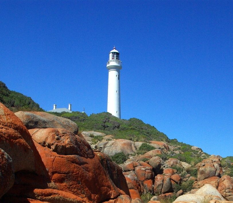 © User:Stevage
The spot
Community-maintained
Community contribution: submitted by Daniel
Know before you go
Logged by the community, confirmed by mods
Moderate risk: Rapid depth changes
The seafloor drops away quickly from shore to 90m, which can disorient snorkellers and create sudden depth-related risks.
Low risk: Ocean swell
Exposed coastal headlands can receive significant ocean swell, especially during southerly winds, creating challenging conditions.
Low risk: Strong currents
Tidal movement and offshore currents around the granite reefs and headlands can be strong, particularly near Whaleback Rock.
Low risk: Remote location
Limited road access and no nearby medical facilities mean self-sufficiency is essential.
Wildlife Guide
No wildlife notes for this spot yet.
Gallery
3 photos from the community
Getting in
Shore entry
Entry
Point Hicks Marine National Park is located off Point Hicks Road in the Croajingolong National Park area, approximately 50 km south of Cann River in East Gippsland, Victoria. Access is via the Princes Highway to Cann River, then follow the signed roads south to Point Hicks.
Parking & facilities
Limited unparked roadside areas near Point Hicks. No formal car park at the marine park itself.
No entry fees for the marine national park.
Spot Map
Community
Gallery ┬╖ 3 photos
Trust
Is this spot real, accurate, still loved?
Spots near Victoria

No nearby spots yet.
Needs verification
Quick verify
One tap helps the community keep this spot honest.
About this data
- Conditions last evaluated
- Spot data last updated
- Data sources
- Open-Meteo (marine & weather conditions), tide predictions via UTide, community contributors (descriptions, hazards, marine life).
- License
- Spot content licensed under CC BY-SA 4.0. How's the Spot is open source.
Weather & swell ┬╖ Open-Meteo marine & weather APIs Tides ┬╖ UTide harmonic analysis Sea & safety ┬╖ community reports