Point Arkwright is a rocky headland jutting into the Coral Sea at Coolum on the Sunshine Coast. Unlike the area's sandy beaches, this headland offers a shallow fringing reef just metres from shore, making it one of the few reliable shore-snorkel destinations in the region. On calm, clear days — most common between June and October — snorkelers are rewarded with encounters with green sea turtles, schools of tropical fish, and rocky reef habitat. The headland also features a scenic coastal walk, lookout points for whale spotting during migration season, and protected parkland above the rocks. Best suited to those with some experience, as conditions can change quickly when swell or wind picks up.
Point Arkwright
IntermediateGO
GO
It's a go.
Showing last known conditions
Wave Height 0.5 mSwell Period 6.0 sWind Speed 2.0 knPrecipitation 0.0 mmTidal Phase flood
Last evaluated
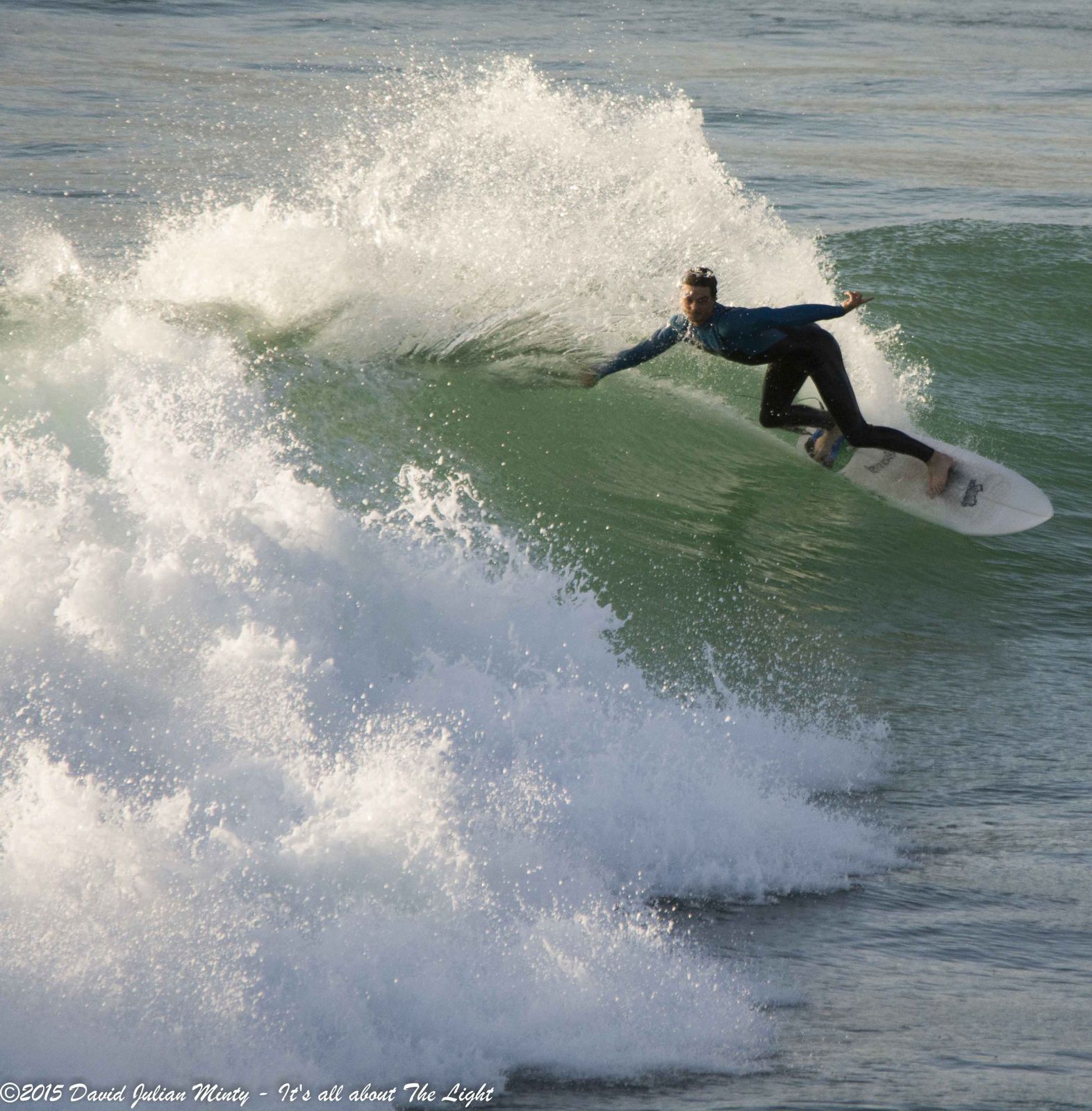 © David Minty
The spot
Community-maintained
Community contribution: submitted by Daniel
Know before you go
Logged by the community, confirmed by mods
Moderate risk: Ocean swell and surf
Exposed rocky headland can receive significant swells, making entry and exit dangerous. Snorkeling only recommended in calm conditions.
Moderate risk: Strong currents around headland
Tidal currents can sweep around the point unexpectedly, especially during outgoing tide.
Low risk: Rocks and uneven entry
Access is over slippery rocks with no sandy beach entry. Care needed when entering and exiting the water.
Low risk: Low visibility in summer
November to May often brings poor visibility due to sediment suspension from swells.
Wildlife Guide
No wildlife notes for this spot yet.
Gallery
2 photos from the community
Getting in
Shore entry
Entry
From David Low Way in Coolum, turn east onto Point Arkwright Drive and follow to the Point Arkwright Headlands Park car park. The snorkel entry points are along the rocky shoreline just south of the headland.
Parking & facilities
Point Arkwright Headlands Park car park with approximately 200 public parking spaces within short walking distance, plus additional on-street unmarked spaces.
toiletsparkingpicnic_tables
Free
Spot Map
Community
Gallery ┬╖ 2 photos
Trust
Is this spot real, accurate, still loved?
Spots near Queensland

No nearby spots yet.
Needs verification
Quick verify
One tap helps the community keep this spot honest.
About this data
- Conditions last evaluated
- Spot data last updated
- Data sources
- Open-Meteo (marine & weather conditions), tide predictions via UTide, community contributors (descriptions, hazards, marine life).
- License
- Spot content licensed under CC BY-SA 4.0. How's the Spot is open source.
Weather & swell ┬╖ Open-Meteo marine & weather APIs Tides ┬╖ UTide harmonic analysis Sea & safety ┬╖ community reports