Oyster Bridge is a wild, off-the-beaten-path snorkeling spot about an hour's drive north of Coral Bay along the Ningaloo Reef. Here, the reef forms a natural wall that creates a shallow, protected lagoon on the inside — like your own personal aquarium, teeming with colourful coral bommies and tropical fish. Access requires a high-clearance 4WD via soft sandy tracks, and the reward is a supremely quiet, uncrowded slice of Ningaloo where you can float in crystal-clear water surrounded by vibrant coral gardens. Best visited on calm mornings when the tide is low to moderate, as higher tides can bring stronger swell and reduce visibility.
Oyster Bridge (Coral Bay)
IntermediateMAYBE
MAYBE
Fair. Experienced snorkellers only.
Showing last known conditions
Wave Height 1.0 mSwell Period 12 sWind Speed 1.1 knPrecipitation 0.0 mmTidal Phase flood
Last evaluated
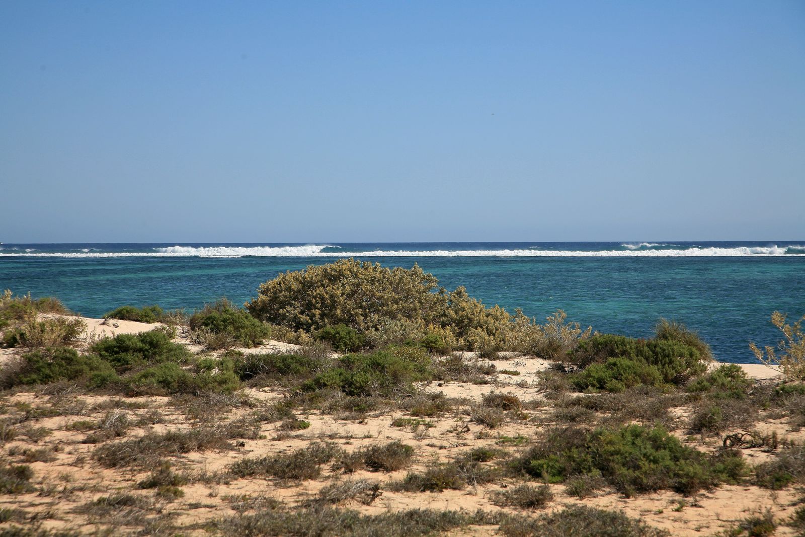
The spot
Community-maintained
Community contribution: submitted by Daniel
Know before you go
Logged by the community, confirmed by mods
Moderate risk: 4WD soft sand track
The access track is soft, sandy and boggy in sections. A high-clearance 4WD is essential; 2WD vehicles will get stuck.
Moderate risk: Tide-dependent swell and currents
At high tide the swell can become pushy and currents may develop, making snorkelling hazardous. Best on low-to-moderate incoming tides.
Moderate risk: Remote location
Oyster Bridge is isolated with no mobile reception, facilities or nearby emergency services. Self-sufficiency is critical.
Moderate risk: Tidal awareness — shallow reef
The reef platform is shallow and best snorkelled at high tide to avoid scraping coral or stranding in ankle-deep water.
Low risk: Summer heat and cyclones
Extreme heat (Nov–Mar) and possible tropical cyclones make midday snorkelling dangerous. Check BOM cyclone updates before travelling in summer.
Low risk: Marine stinger season
Box jellyfish and other stingers may be present in warmer months (Nov–May). Wear a stinger suit for protection.
Low risk: 4WD access required
The unsealed track to Oyster Bridge is sandy and soft; only high-clearance 4WD vehicles can reach the site.
Low risk: Sharp oyster shells at entry
The shoreline near the entry point has sharp, exposed oyster-encrusted rocks. Reef shoes or booties are strongly recommended.
Wildlife Guide
No wildlife notes for this spot yet.
Gallery
1 photo from the community
Getting in
Shore entry
Entry
Drive north from Coral Bay town for approximately 1 hour (about 50 km) along the unsealed coastal track. The turn-off is unmarked and requires careful navigation. A high-clearance 4WD is mandatory — the sandy track is soft and easily bogged. The spot is located within the Bateman Sanctuary Zone.
Parking & facilities
Limited pull-off areas on the sandy verge near the track. No designated carpark. Vehicles must be parked off the track to avoid blocking access.
No entry fee, but all visitors must comply with Ningaloo Marine Park sanctuary zone regulations — no fishing, collecting or disturbing marine life.
Spot Map
Community
Gallery ┬╖ 1 photos
Trust
Is this spot real, accurate, still loved?
Spots near Western Australia

No nearby spots yet.
Needs verification
Quick verify
One tap helps the community keep this spot honest.
About this data
- Conditions last evaluated
- Spot data last updated
- Data sources
- Open-Meteo (marine & weather conditions), tide predictions via UTide, community contributors (descriptions, hazards, marine life).
- License
- Spot content licensed under CC BY-SA 4.0. How's the Spot is open source.
Weather & swell ┬╖ Open-Meteo marine & weather APIs Tides ┬╖ UTide harmonic analysis Sea & safety ┬╖ community reports