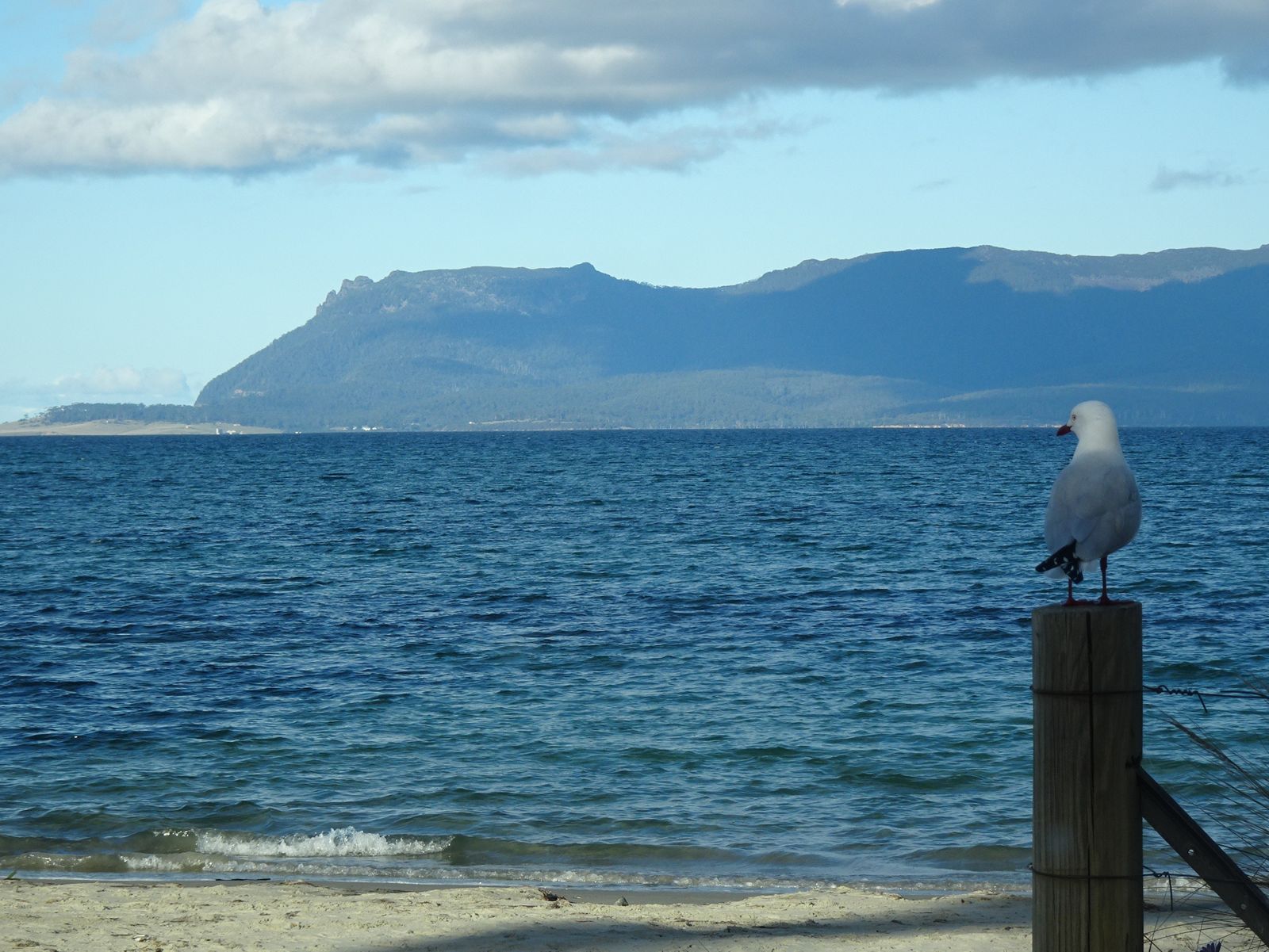
Sheltered along Tasmania's sun-drenched East Coast, the Orford coastal diving sites span a chain of sandy beaches and rocky reefs accessible from the Prosser River estuary south to Spring Beach. This temperate-water playground sits at the gateway to Maria Island Marine Reserve, where nutrient-rich currents sustain lush kelp forests, colourful zoanthid-covered walls, and sponge gardens. Spring Beach offers a gentle shore entry for snorkelers, while deeper offshore reefs reward certified divers with abundant marine biodiversity. Crystal-clear winter visibility (up to 40 m) and relatively sheltered conditions make Orford a year-round destination for exploring Tasmania's cool-temperate underwater world.
Orford coastal diving sites
IntermediateMAYBE
MAYBE
Fair. Experienced snorkellers only.
Showing last known conditions
Wave Height 0.0 mSwell Period 0.0 sWind Speed 5.3 knPrecipitation 1.5 mmTidal Phase slack
Last evaluated
The spot
Community-maintained
Community contribution: submitted by Daniel
Know before you go
Logged by the community, confirmed by mods
Moderate risk: Cold water temperatures
Water temperature ranges from 11°C in winter to 15°C in summer. A thick wetsuit (7 mm+) is essential to prevent hypothermia.
Moderate risk: Rip currents at open beaches
Spring Beach and other open coastal stretches can develop rip currents, especially after swell events. Swim between flags where available.
Moderate risk: Strong undertow / rip current
A strong undertow can develop, especially after storms. No lifeguards on duty — stay calm and swim diagonally to escape if caught.
Moderate risk: Strong undertow / rip currents
Occasional strong undertow and rip currents can develop, especially after storms. No lifeguards on duty.
Moderate risk: Strong undertow / rip currents (spring/summer)
Occasional strong undertow and rip currents can develop, especially after storms. No lifeguards on duty.
Low risk: Rocky outcrop crossing
The rocky outcrop between East and West Shelley Beaches requires careful navigation when traversing between the two beaches, especially at high tide.
Low risk: Exposed reef at low tide
Low tide exposes reef platforms and rocks near the shoreline, which can be sharp and slippery underfoot.
Low risk: Variable visibility
Summer plankton blooms can reduce visibility to 12 m, while winter offers up to 40 m. Plan dives accordingly for safe navigation.
Low risk: Rocky shore entry
Some access points involve traversing rocks or steep stairs to reach the water. Slippery when wet; sturdy footwear recommended.
Low risk: Seasonal services closures
Some local facilities have limited hours or close during winter.
Wildlife Guide
No wildlife notes for this spot yet.
Gallery
2 photos from the community
Getting in
Shore entry
Entry
Orford is about a 1-hour drive (75 km) northeast of Hobart via the Tasman Highway (A3). The main snorkelling access is at Spring Beach, signposted 3 km south of Orford town centre, or from Orford Beach (Shelley Beach) in town adjacent to the Prosser River mouth.
Parking & facilities
Free sealed carpark at Orford Beach (Shelley Beach) on Cornwall Street. Spring Beach has a free gravel carpark at the end of Spring Beach Road. Both are council-managed.
toiletsparkingpicnic_tablesshowers
No fees for beach access. Maria Island ferry and national park fees apply if crossing to the island.
Spot Map
Community
Gallery ┬╖ 2 photos
Trust
Is this spot real, accurate, still loved?
Spots near Tasmania

No nearby spots yet.
Needs verification
Quick verify
One tap helps the community keep this spot honest.
About this data
- Conditions last evaluated
- Spot data last updated
- Data sources
- Open-Meteo (marine & weather conditions), tide predictions via UTide, community contributors (descriptions, hazards, marine life).
- License
- Spot content licensed under CC BY-SA 4.0. How's the Spot is open source.
Weather & swell ┬╖ Open-Meteo marine & weather APIs Tides ┬╖ UTide harmonic analysis Sea & safety ┬╖ community reports