North Mole is a renowned shore-dive and snorkel site at the end of North Mole Drive in Fremantle, sheltered inside the harbour at the mouth of the Swan River. Best known for the historic 'Gareenup Wreck' — an accessible shore wreck lying in 6–9 metres of water — this spot offers a mix of artificial reef structures, old jetty pylons, and sandy patches. Depths reach up to 9 metres with variable visibility, and the sheltered mole wall provides calm conditions on good days. It's a favourite for night dives and a go-to for beginners wanting to try a wreck dive without a boat.
North Mole (Fremantle)
IntermediateMAYBE
MAYBE
Fair. Experienced snorkellers only.
Showing last known conditions
Wave Height 0.9 mSwell Period 11 sWind Speed 2.5 knPrecipitation 0.4 mmTidal Phase ebb
Last evaluated
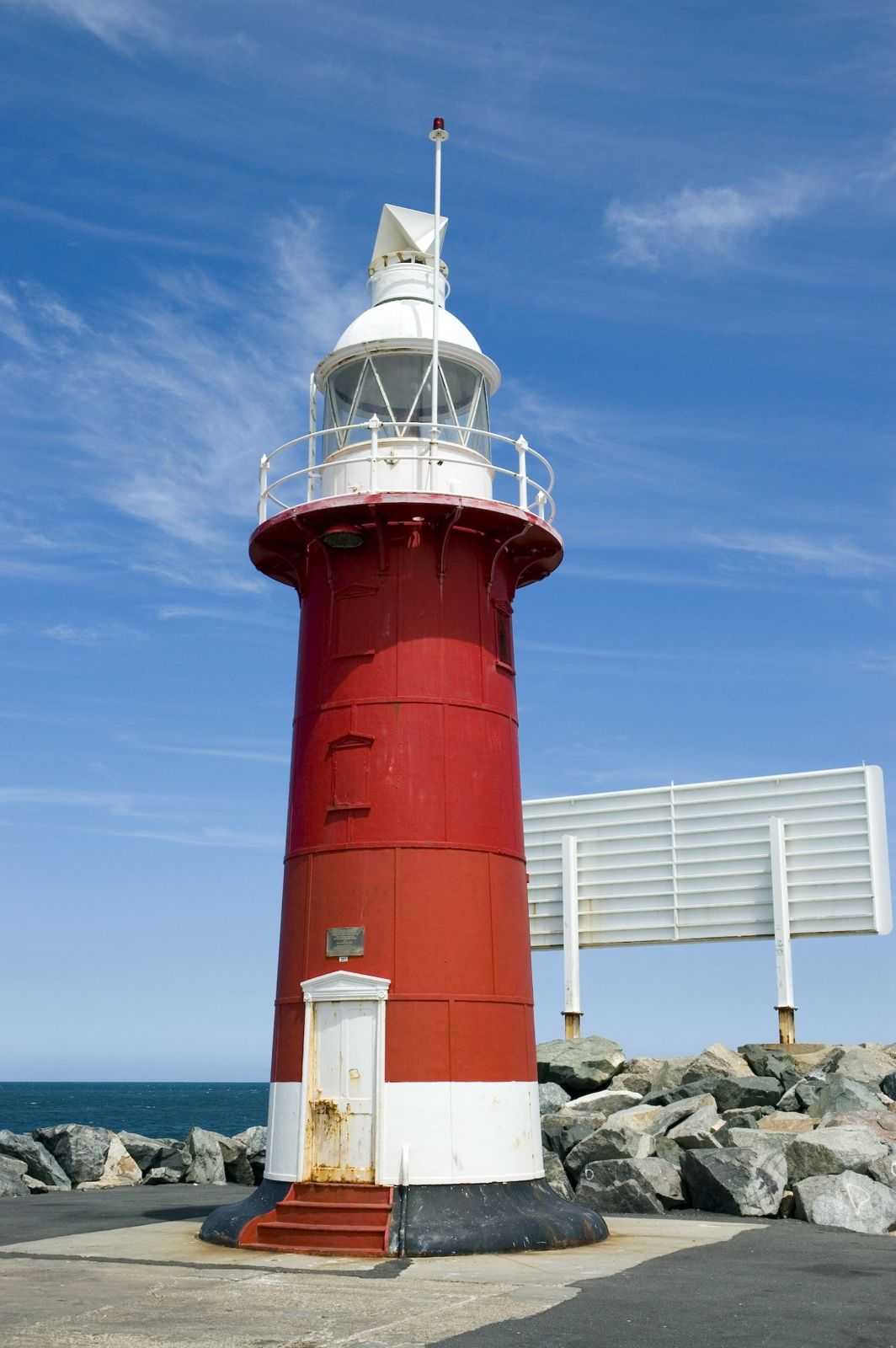
The spot
Community-maintained
Community contribution: submitted by Daniel
Know before you go
Logged by the community, confirmed by mods
Moderate risk: Boat traffic in harbour
Proximity to the working harbour entrance means occasional ferry and boat traffic in the channel.
Low risk: Fishing activity overhead
Fishing lines and hooks from the mole wall above can be a hazard to snorkelers and divers below.
Low risk: Variable visibility
Visibility can drop significantly after weather or tidal movement, reducing the ability to navigate safely.
Low risk: Currents and tides
Tidal flows through the harbour entrance can create moderate currents, especially on an outgoing tide.
Wildlife Guide
No wildlife notes for this spot yet.
Gallery
2 photos from the community
Getting in
Shore entry
Entry
Drive south from Perth along Stirling Highway into Fremantle. Turn onto North Mole Drive and follow it all the way to the end near the harbour mole wall. The site is at the terminus of North Mole Drive, within the port area.
Parking & facilities
Limited roadside parking available at the end of North Mole Drive near the mole wall.
Free public access.
Spot Map
Community
Gallery ┬╖ 2 photos
Trust
Is this spot real, accurate, still loved?
Spots near Western Australia

No nearby spots yet.
Needs verification
Quick verify
One tap helps the community keep this spot honest.
About this data
- Conditions last evaluated
- Spot data last updated
- Data sources
- Open-Meteo (marine & weather conditions), tide predictions via UTide, community contributors (descriptions, hazards, marine life).
- License
- Spot content licensed under CC BY-SA 4.0. How's the Spot is open source.
Weather & swell ┬╖ Open-Meteo marine & weather APIs Tides ┬╖ UTide harmonic analysis Sea & safety ┬╖ community reports