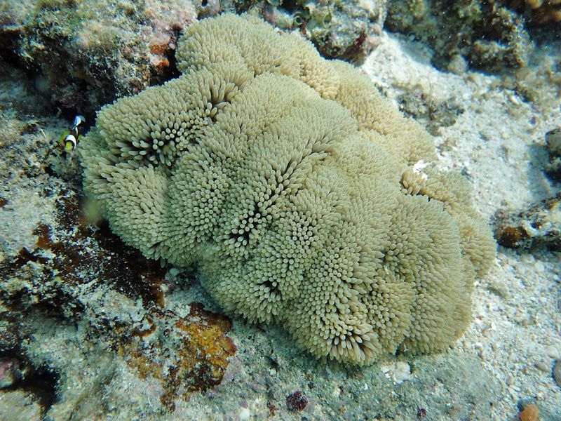
North Direction Island is a remote, uninhabited coral cay in the northern Great Barrier Reef, surrounded by vibrant fringing reefs and shallow coral gardens. Lying about 4 nautical miles southwest of Lizard Island, this pristine island offers exceptional snorkelling right off its beautiful sandy beaches. The clear waters teem with tropical fish, coral outcrops, and the occasional sea turtle, making it a secluded paradise for experienced snorkelers and divers seeking solitude away from crowded tourist hubs.
North Direction Island
IntermediateGO
GO
It's a go.
Showing last known conditions
Wave Height 0.1 mSwell Period 6.5 sWind Speed 2.0 knPrecipitation 1.9 mmTidal Phase flood
Last evaluated
The spot
Community-maintained
Community contribution: submitted by Daniel
Know before you go
Logged by the community, confirmed by mods
Moderate risk: Tidal currents
Strong tidal currents can sweep around the island, particularly during outgoing tides. Snorkelers should be aware of changing conditions.
Moderate risk: Remote location
The island is remote with no facilities, medical aid, or emergency services on site.
Wildlife Guide
No wildlife notes for this spot yet.
Gallery
1 photo from the community
Getting in
Boat
Entry
North Direction Island is located approximately 4 nautical miles southwest of Lizard Island and about 57 nautical miles northeast of Cooktown, Queensland. Access is via liveaboard dive vessels or charter tours departing from Cairns or Cooktown. There is no public ferry service.
Parking & facilities
No parking available on the island. Vehicles should be left at the departure point in Cairns or Cooktown.
Accessible only via private charter or liveaboard tour operators; fees vary by operator.
Spot Map
Community
Gallery ┬╖ 1 photos
Trust
Is this spot real, accurate, still loved?
Spots near Queensland

No nearby spots yet.
Needs verification
Quick verify
One tap helps the community keep this spot honest.
About this data
- Conditions last evaluated
- Spot data last updated
- Data sources
- Open-Meteo (marine & weather conditions), tide predictions via UTide, community contributors (descriptions, hazards, marine life).
- License
- Spot content licensed under CC BY-SA 4.0. How's the Spot is open source.
Weather & swell ┬╖ Open-Meteo marine & weather APIs Tides ┬╖ UTide harmonic analysis Sea & safety ┬╖ community reports