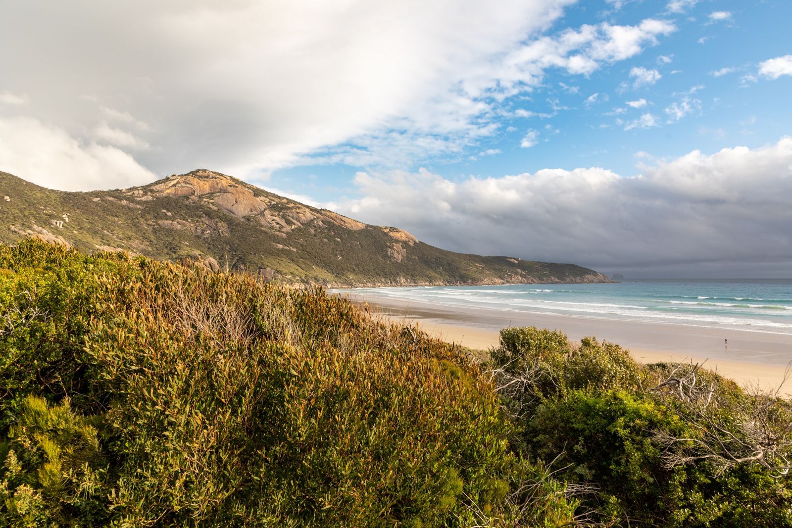
Norman Beach and Norman Bay sit on the sheltered eastern side of the Wilsons Promontory National Park, offering calm, clear waters protected from the prevailing westerly winds. This long sandy beach arcs gently around the bay, providing excellent shore-entry snorkeling over seagrass beds and sandy patches. The bay's shallow gradient keeps conditions gentle for novices, while the granite boulders at the northern end near Norman Point host more diverse marine life. Part of the Wilsons Promontory Marine National Park, the waters here are fully protected, ensuring a pristine underwater environment.
Norman Beach / Norman Bay
BeginnerMAYBE
MAYBE
Fair. Experienced snorkellers only.
Showing last known conditions
Wave Height 0.4 mSwell Period 13 sWind Speed 11 knPrecipitation 21 mmTidal Phase flood
Last evaluated
The spot
Community-maintained
Community contribution: submitted by Daniel
Know before you go
Logged by the community, confirmed by mods
Low risk: Strong northerly winds
Northerly winds can whip up chop and reduce visibility across the bay.
Low risk: Cold water temperatures
Southern Ocean influence keeps water temperatures cool year-round, with winter lows around 12°C.
Wildlife Guide
No wildlife notes for this spot yet.
Gallery
3 photos from the community
Getting in
Shore entry
Entry
From Melbourne, take the South Gippsland Highway to Foster, then follow the Wilsons Promontory Road to the park entrance. Continue 30 km to Tidal River township. Norman Beach is the main beach in front of the Tidal River camping area, a short walk from the car park.
Parking & facilities
Large car park at Tidal River accommodation area, a short walk from the beach.
toiletsparkingdrinking_watershowerspicnic_tables
Wilsons Promontory National Park entry fee applies (per vehicle or per person). Camping fees additional if staying overnight.
Spot Map
Community
Gallery ┬╖ 3 photos
Trust
Is this spot real, accurate, still loved?
Spots near Victoria

No nearby spots yet.
Needs verification
Quick verify
One tap helps the community keep this spot honest.
About this data
- Conditions last evaluated
- Spot data last updated
- Data sources
- Open-Meteo (marine & weather conditions), tide predictions via UTide, community contributors (descriptions, hazards, marine life).
- License
- Spot content licensed under CC BY-SA 4.0. How's the Spot is open source.
Weather & swell ┬╖ Open-Meteo marine & weather APIs Tides ┬╖ UTide harmonic analysis Sea & safety ┬╖ community reports