No Name Reef (also known as '35 Miles') is a lesser-known outer reef site on the Great Barrier Reef, sitting roughly 35 nautical miles off the Queensland coast. This ribbon reef features a dramatic drop-off where the shallow reef flat (1–2 m) steps down to a sandy seabed at 6–8 m, with vibrant fluorescent-blue branching corals, giant clams, and overhangs teeming with fish. It is a quiet, uncrowded alternative to the busier Norman and Agincourt reefs, offering pristine coral gardens and excellent visibility in the warm Coral Sea waters. Snorkelers enter from a moored boat or floating platform, exploring the sheltered inner reef slope away from the ocean swell.
No Name (Snorkel Site)
BeginnerGO
GO
It's a go.
Showing last known conditions
Wave Height 0.4 mSwell Period 5.2 sWind Speed 8.6 knPrecipitation 3.2 mmTidal Phase flood
Last evaluated
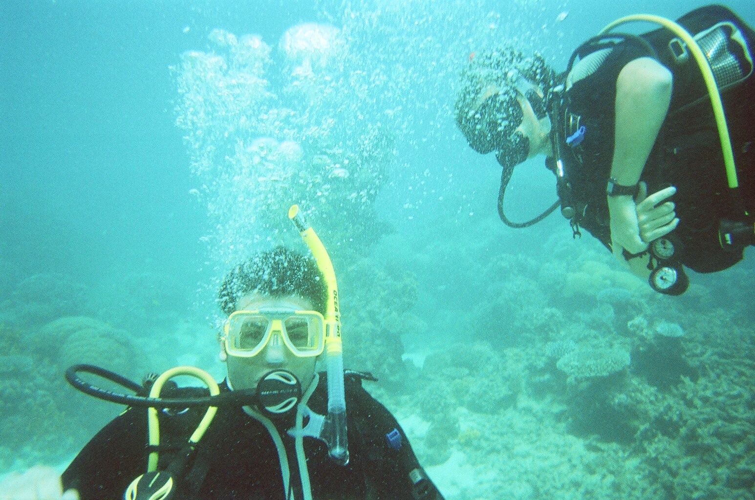 © Jorge Láscar from Australia
The spot
Community-maintained
Community contribution: submitted by Daniel
Know before you go
Logged by the community, confirmed by mods
Moderate risk: Marine stingers
Marine stingers (box jellyfish and Irukandji) may be present in tropical Queensland waters during the warmer months.
Low risk: Ocean currents
Moderate currents can occur along the outer reef edge, even in good sea conditions. Snorkelers should stay within the marked swimming area.
Low risk: Sharp coral and debris
The reef flat is shallow (1–2 m) with dead coral debris; sharp coral and rocky substrate can cause cuts if not careful.
Wildlife Guide
No wildlife notes for this spot yet.
Gallery
3 photos from the community
Getting in
Snorkel tour
Entry
No Name Reef is an outer reef site on the Great Barrier Reef, typically accessed via day tour boats from Cairns or Port Douglas. The journey takes approximately 1.5–2 hours offshore. The site is also known among dive operators as '35 miles' due to its distance from shore.
Parking & facilities
Park at the Cairns or Port Douglas marina precincts (paid parking available). Tour operators provide transfers from accommodations.
toilets
Day tours from Cairns typically range from $200–$290 AUD per person, including lunch, snorkel gear, and reef platform access.
Spot Map
Community
Gallery ┬╖ 3 photos
Trust
Is this spot real, accurate, still loved?
Spots near Queensland

No nearby spots yet.
Needs verification
Quick verify
One tap helps the community keep this spot honest.
About this data
- Conditions last evaluated
- Spot data last updated
- Data sources
- Open-Meteo (marine & weather conditions), tide predictions via UTide, community contributors (descriptions, hazards, marine life).
- License
- Spot content licensed under CC BY-SA 4.0. How's the Spot is open source.
Weather & swell ┬╖ Open-Meteo marine & weather APIs Tides ┬╖ UTide harmonic analysis Sea & safety ┬╖ community reports