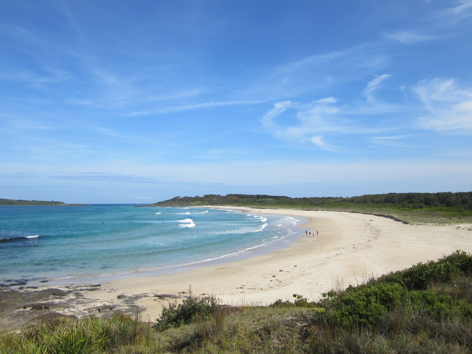
Murramarang Beach lies within Murramarang National Park on the NSW South Coast, a stunning stretch where ancient spotted gums meet the shoreline. The colourful pebbly beach offers excellent shore-entry snorkelling over rocky reefs and through kelp beds teeming with fish. Sheltered by headlands and part of the Batemans Bay Snorkelling Trail, this uncrowded beach provides a wilderness feel with kangaroos often grazing right on the sand. The adjacent NRMA resort offers easy access, making it a perfect blend of coastal nature and convenience for snorkellers of all levels.
Murramarang Beach
BeginnerMAYBE
MAYBE
Fair. Experienced snorkellers only.
Showing last known conditions
Wave Height 0.6 mSwell Period 6.8 sWind Speed 8.0 knPrecipitation 26 mmTidal Phase flood
Last evaluated
 © Nick-D
The spot
Community-maintained
Community contribution: submitted by Daniel
Know before you go
Logged by the community, confirmed by mods
Low risk: Surf Conditions
Swell can create shore break and sweep along the beach, especially during easterly winds.
Low risk: Rocky Reef Areas
Submerged reef platforms near the headlands can be sharp and hazardous at low tide.
Wildlife Guide
No wildlife notes for this spot yet.
Gallery
3 photos from the community
Getting in
Shore entry
Entry
Murramarang Beach is located approximately 20 km north of Batemans Bay on the NSW South Coast. Follow the Princes Highway to Bawley Point Road, then turn into Murramarang Road. The beach is adjacent to the NRMA Murramarang Beachfront Holiday Resort.
Parking & facilities
Parking is available at the beach access point and at the NRMA Murramarang Beachfront Holiday Resort. Additional parking can be found at nearby Depot Beach within Murramarang National Park.
toiletsparkingshowerspicnic_tables
Murramarang National Park entry fee applies: $8 per vehicle per day. Pay machines accept cash and credit cards.
Spot Map
Community
Gallery ┬╖ 3 photos
Trust
Is this spot real, accurate, still loved?
Spots near Victoria

No nearby spots yet.
Needs verification
Quick verify
One tap helps the community keep this spot honest.
About this data
- Conditions last evaluated
- Spot data last updated
- Data sources
- Open-Meteo (marine & weather conditions), tide predictions via UTide, community contributors (descriptions, hazards, marine life).
- License
- Spot content licensed under CC BY-SA 4.0. How's the Spot is open source.
Weather & swell ┬╖ Open-Meteo marine & weather APIs Tides ┬╖ UTide harmonic analysis Sea & safety ┬╖ community reports