Nestled between the Tomaga River and Candlagan Creek on the Eurobodalla coast, Mossy Point Beach is a quiet family-friendly snorkeling haven. The sheltered, shallow waters near the beach give way to weedy rocky outcrops and submerged boulders just offshore, teeming with small fish and marine molluscs. The nearby Candlagan Creek estuary offers a calm, protected beginner snorkel environment where you can drift over seagrass beds and explore the nooks of rocky reef formations. Its gentle conditions and clear waters make it a delightful, uncrowded alternative to busier South Coast spots.
Mossy Point Beach
BeginnerMAYBE
MAYBE
Fair. Experienced snorkellers only.
Showing last known conditions
Wave Height 0.0 mSwell Period 0.0 sWind Speed 1.4 knPrecipitation 16 mmTidal Phase slack
Last evaluated
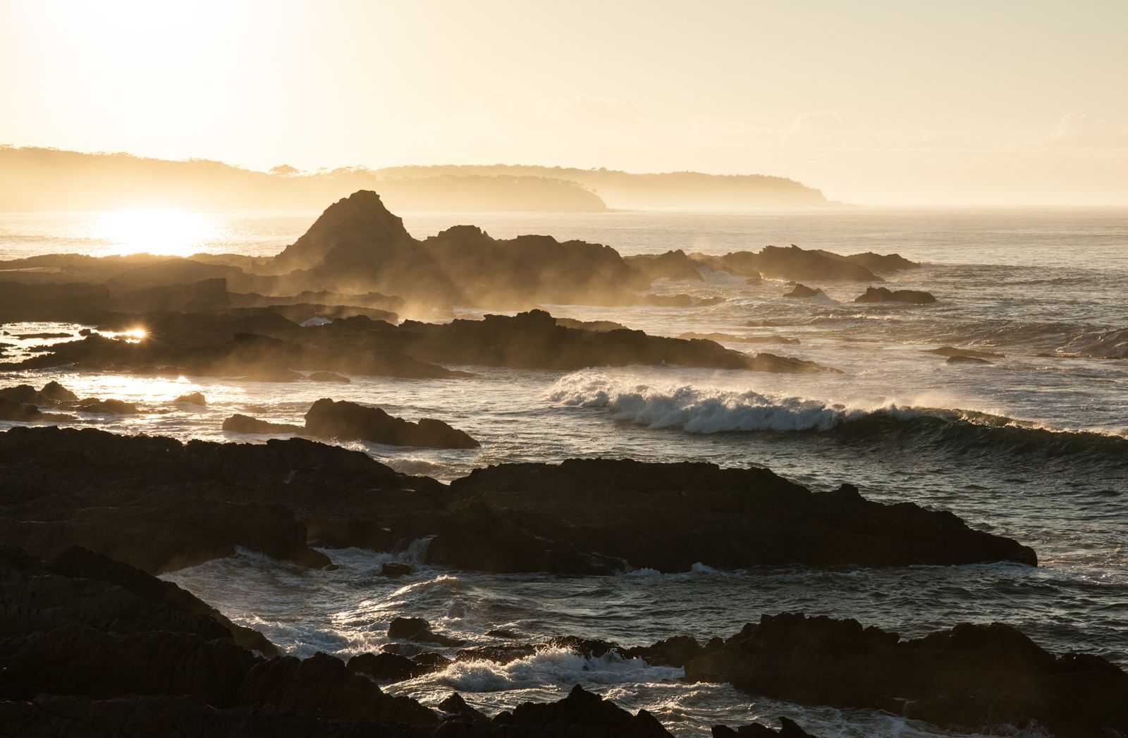 © Neutraldensity
The spot
Community-maintained
Community contribution: submitted by Daniel
Know before you go
Logged by the community, confirmed by mods
Low risk: Outgoing tide current
The estuary outflow can create a noticeable current near the river mouth and boat ramp during outgoing tides, which may pull inexperienced swimmers.
Low risk: Boat traffic near boat ramp
The boat ramp area sees regular boat and kayak launching traffic, so swimmers and snorkellers should stay clear of the channel.
Low risk: Tidal currents in Candlagan Creek
Flowing tidal currents can develop near the creek mouth, particularly on outgoing tides, which may sweep swimmers toward deeper channels.
Low risk: Weedy rocky outcrops
Slippery submerged rocks and boulders near the shore and offshore reefs require care when entering and exiting the water.
Wildlife Guide
No wildlife notes for this spot yet.
Gallery
4 photos from the community
Getting in
Shore entry
Entry
Mossy Point is located between Broulee and Tomakin on the NSW South Coast, approx. 10 km south of Batemans Bay. From the Princes Highway, turn east onto Mossy Point Road and follow it to the Mossy Point Lookout carpark. The beach and Candlagan Creek snorkeling area are a short walk from the parking area.
Parking & facilities
Carpark available at Mossy Point Lookout along Mossy Point Road. Limited street parking also available nearby.
Free entry. No fees required.
Spot Map
Community
Gallery ┬╖ 4 photos
Trust
Is this spot real, accurate, still loved?
Spots near Victoria

No nearby spots yet.
Needs verification
Quick verify
One tap helps the community keep this spot honest.
About this data
- Conditions last evaluated
- Spot data last updated
- Data sources
- Open-Meteo (marine & weather conditions), tide predictions via UTide, community contributors (descriptions, hazards, marine life).
- License
- Spot content licensed under CC BY-SA 4.0. How's the Spot is open source.
Weather & swell ┬╖ Open-Meteo marine & weather APIs Tides ┬╖ UTide harmonic analysis Sea & safety ┬╖ community reports