Mollymook Beach stretches for 2 km between Bannister Point and the southern headland, offering a sweeping sandy shoreline with a central reef and rocky headlands perfect for snorkelling. The star attraction is the Mollymook Bogey Hole — a large natural tidal rock pool at the southern end, carved from ancient rock and enhanced by 1918 silica mining. Its calm, protected waters teem with small fish, seaweed gardens, and the occasional dolphin offshore, making it a family-friendly snorkel spot with raw coastal beauty.
Mollymook Beach
BeginnerMAYBE
MAYBE
Fair. Experienced snorkellers only.
Showing last known conditions
Wave Height 0.3 mSwell Period 8.9 sWind Speed 11 knPrecipitation 25 mmTidal Phase flood
Last evaluated
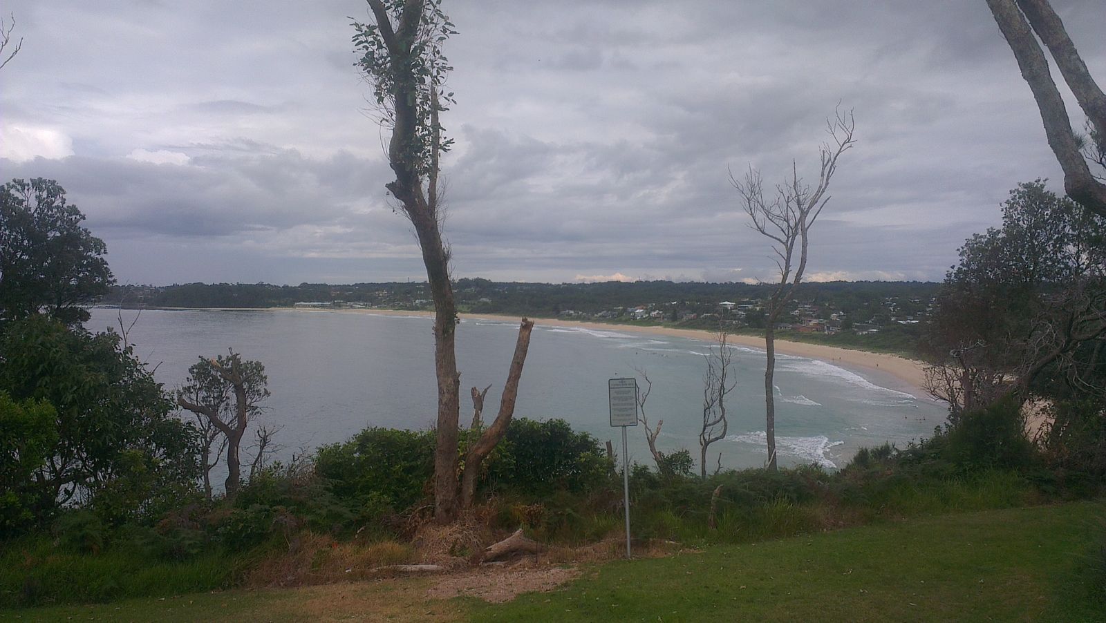 © Dfadden
The spot
Community-maintained
Community contribution: submitted by Daniel
Know before you go
Logged by the community, confirmed by mods
Moderate risk: No lifeguards on duty
No lifeguards patrol the Bogey Hole area. Swimmers and snorkellers are entirely self-responsible.
Low risk: Slippery and sharp rocks
Rocks around the Bogey Hole and headlands can be slippery when wet, and sharp in places. Take care when entering and exiting the water.
Low risk: Tidal variation
The Bogey Hole is a tidal pool; at low tide the water level drops significantly, reducing the snorkelling area. Best visited on a rising or high tide.
Low risk: Sweep currents on open beach
Southerly swells can create strong sweep currents along the open beach away from the sheltered Bogey Hole.
Wildlife Guide
No wildlife notes for this spot yet.
Gallery
3 photos from the community
Getting in
Shore entry
Entry
Located on the NSW South Coast, about 3 hours south of Sydney via the Princes Highway. Turn into Mitchell Parade (off the highway) for the main beach or Burleigh Way for the Bogey Hole at the southern end.
Parking & facilities
Free car parking available on Mitchell Parade (main beach) and a small car park off Burleigh Way (150m walk to the Bogey Hole).
toiletsparkingshowers
Free entry
Spot Map
Community
Gallery ┬╖ 3 photos
Trust
Is this spot real, accurate, still loved?
Spots near Victoria

No nearby spots yet.
Needs verification
Quick verify
One tap helps the community keep this spot honest.
About this data
- Conditions last evaluated
- Spot data last updated
- Data sources
- Open-Meteo (marine & weather conditions), tide predictions via UTide, community contributors (descriptions, hazards, marine life).
- License
- Spot content licensed under CC BY-SA 4.0. How's the Spot is open source.
Weather & swell ┬╖ Open-Meteo marine & weather APIs Tides ┬╖ UTide harmonic analysis Sea & safety ┬╖ community reports