Mimosa Rocks National Park stretches 20 km along the wild Sapphire Coast between Tathra and Bermagui, offering a string of pristine ocean beaches, protected coves, and calm lagoon systems perfect for snorkeling. Moon Bay is the standout — a sheltered cove with clear waters and fascinating rock formations. Aragunnu Beach, Middle Beach, and Gillards Beach each provide unique underwater terrain around the park's iconic folded Ordovician rocks and sea caves. Nelson Lagoon offers calm, protected paddling and snorkeling away from ocean swell. The park's name comes from the 1863 wreck of the paddle steamer Mimosa, and remnants can still be seen at low tide near Aragunnu.
Mimosa Rocks National Park Beaches
IntermediateGO
GO
It's a go.
Showing last known conditions
Wave Height 0.4 mSwell Period 6.4 sWind Speed 4.6 knPrecipitation 11 mmTidal Phase flood
Last evaluated
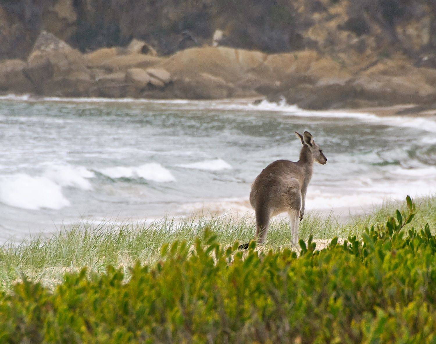 © Marshal Hedin
The spot
Community-maintained
Community contribution: submitted by Daniel
Know before you go
Logged by the community, confirmed by mods
Moderate risk: Strong rips at ocean beaches
Moon Bay, Middle Beach and Gillards Beach can have strong rip currents and sweepers, especially on larger swell days.
Moderate risk: Swell and surge at exposed headlands
The rocky headlands and sea caves can experience sudden surge and dumping waves on days with southerly swell.
Low risk: Cold water temperatures
The Sapphire Coast has cool to cold ocean temperatures year-round, averaging 14-20°C, with winter well below 15°C.
Low risk: Shipwreck debris at low tide
Remnants of the PS Mimosa shipwreck (1863) near Aragunnu Beach may present sharp metal hazards at low tide.
Wildlife Guide
No wildlife notes for this spot yet.
Gallery
2 photos from the community
Getting in
Shore entry
Entry
The park is located on the Sapphire Coast between Bermagui (15 km north) and Tathra (12 km south), accessible via the Tathra-Bermagui Rd (Tarraganda Rd). Turn off the Princes Highway at either Bega or Bermagui. Multiple beach access points and walking tracks lead from campgrounds and roadside pull-offs.
Parking & facilities
Unsealed parking areas at Aragunnu Campground, Moon Bay trailhead, Middle Beach, Gillards Campground, and Picnic Point. No parking fees in the park.
toiletspicnic_tables
No entry fee for day visits. Camping fees apply at Aragunnu, Gillards, Middle Beach, and Picnic Point campgrounds (book via NSW National Parks).
Spot Map
Community
Gallery ┬╖ 2 photos
Trust
Is this spot real, accurate, still loved?
Spots near Victoria

No nearby spots yet.
Needs verification
Quick verify
One tap helps the community keep this spot honest.
About this data
- Conditions last evaluated
- Spot data last updated
- Data sources
- Open-Meteo (marine & weather conditions), tide predictions via UTide, community contributors (descriptions, hazards, marine life).
- License
- Spot content licensed under CC BY-SA 4.0. How's the Spot is open source.
Weather & swell ┬╖ Open-Meteo marine & weather APIs Tides ┬╖ UTide harmonic analysis Sea & safety ┬╖ community reports