Michaelmas Reef surrounds Michaelmas Island in King George Sound, Albany, WA — a granite-fringed nature reserve with submerged reefs plunging to 30 m, draped in vibrant coral and sponge gardens. The reefs along the island's northern, southern and eastern sides create a snorkeling wonderland of large granite boulders, underwater ledges, and abundant marine life. The scuttled whale chaser Cheynes III lies just off the western side, adding a wreck-diving bonus. Access is by boat or guided snorkel tour from Albany, making this a pristine, uncrowded escape into the Southern Ocean's temperate reef ecosystem.
Michaelmas Reef
IntermediateGO
GO
It's a go.
Showing last known conditions
Wave Height 0.3 mSwell Period 12 sWind Speed 4.4 knPrecipitation 5.4 mmTidal Phase ebb
Last evaluated
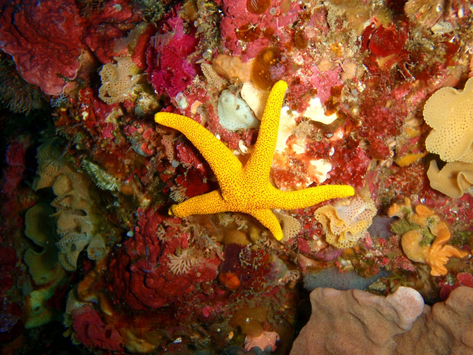 © Peter Southwood
The spot
Community-maintained
Community contribution: submitted by Daniel
Know before you go
Logged by the community, confirmed by mods
Moderate risk: Strong currents in King George Sound
Tidal currents can run strongly around the island, particularly near the submerged reefs on the northern and eastern sides.
Moderate risk: Remote island access
No facilities on the island; snorkelers must be self-sufficient and aware of weather changes that can delay boat pickups.
Low risk: Cold water temperatures
Southern Ocean waters are cold year-round (12–18°C), requiring a wetsuit for comfortable snorkeling.
Low risk: Sharp granite and reef edges
Granite boulders and coral-covered reef can be sharp; sturdy footwear and careful finning recommended.
Wildlife Guide
No wildlife notes for this spot yet.
Gallery
4 photos from the community
Getting in
Boat
Entry
Michaelmas Island is located in King George Sound, approximately 10 km east of Albany, WA. No public ferry service — access is by private boat (launch from Emu Point or Middleton Beach boat ramps) or via guided snorkel/dive tours operated by Dive Albany or local charter companies.
Parking & facilities
Parking available at Emu Point boat ramp or Middleton Beach car park. No parking on the island.
toiletsparkingboat_ramp
No entry fee for the island nature reserve. Tour fees apply for guided snorkel trips.
Spot Map
Community
Gallery ┬╖ 4 photos
Trust
Is this spot real, accurate, still loved?
Spots near Western Australia

No nearby spots yet.
Needs verification
Quick verify
One tap helps the community keep this spot honest.
About this data
- Conditions last evaluated
- Spot data last updated
- Data sources
- Open-Meteo (marine & weather conditions), tide predictions via UTide, community contributors (descriptions, hazards, marine life).
- License
- Spot content licensed under CC BY-SA 4.0. How's the Spot is open source.
Weather & swell ┬╖ Open-Meteo marine & weather APIs Tides ┬╖ UTide harmonic analysis Sea & safety ┬╖ community reports