Mersey Point is a sheltered snorkeling launch site within Shoalwater Islands Marine Park, just off Safety Bay Road in Shoalwater, Western Australia. This calm, protected shoreline provides easy shore-entry access to the sparkling waters of Shoalwater Bay, where a patchwork of limestone reefs, seagrass meadows, and sandy patches teems with marine life. From here, snorkelers can swim towards nearby Penguin Island and the chain of islands that define this marine park, enjoying clear, shallow waters ideal for spotting fish, stingrays, and the occasional playful sea lion. The Point's gentle conditions and convenient parking make it a favourite launch pad for families and snorkel tour operators alike, offering a quintessential Perth-region marine adventure.
Mersey Point
Fair. Experienced snorkellers only.
Showing last known conditions
Last evaluated
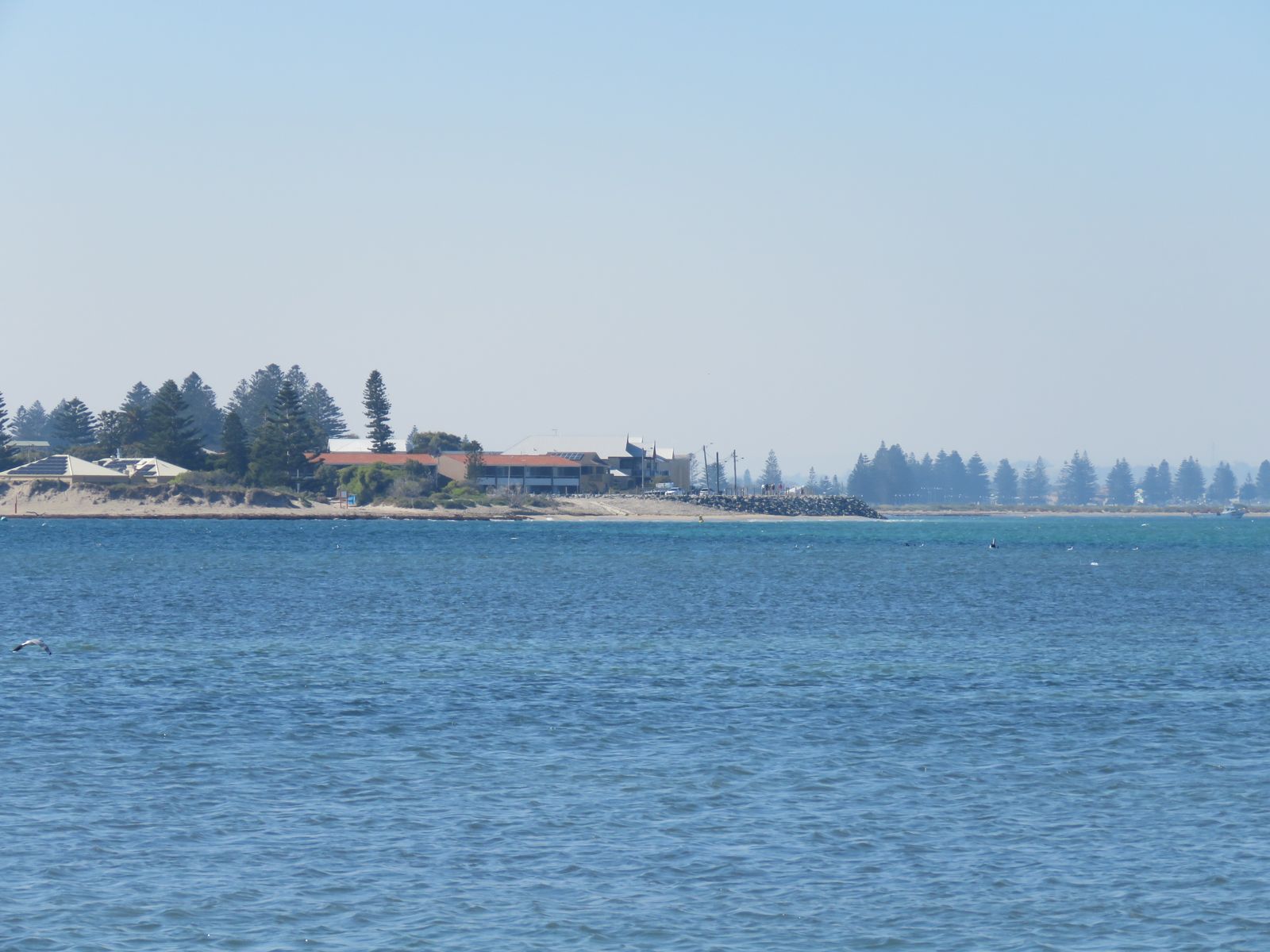
The spot
Community-maintained
Community contribution: submitted by Daniel
Know before you go
Logged by the community, confirmed by mods
Low risk: Current around reef channels
Strong tidal currents can develop between the islands and around reef channels, especially during outgoing tides.
Low risk: Boat traffic
The area is used by tour boats and private vessels launching nearby; keep watch for boats near the entry point.
Wildlife Guide
No wildlife notes for this spot yet.
Gallery
1 photo from the community
Getting in
Located off Safety Bay Road in Shoalwater, approximately 50 km south of Perth CBD. Follow the Rockingham Road/Ennis Avenue south, turn west onto Safety Bay Road, and continue to the Mersey Point picnic area and carpark at the end of the road.
Limited roadside parking available near the Mersey Point picnic area off Safety Bay Road.
No entry fee for the beach; Shoalwater Islands Marine Park is free to access.
Spot Map
Community
Trust
Is this spot real, accurate, still loved?
Spots near Western Australia

No nearby spots yet.
Quick verify
One tap helps the community keep this spot honest.
About this data
- Conditions last evaluated
- Spot data last updated
- Data sources
- Open-Meteo (marine & weather conditions), tide predictions via UTide, community contributors (descriptions, hazards, marine life).
- License
- Spot content licensed under CC BY-SA 4.0. How's the Spot is open source.