Part of the Nooramunga Marine and Coastal Park, McLoughlins Beach is a wild, unpatrolled surf beach on Victoria's Ninety Mile Beach stretch. Accessed via a 500m dune walk and stairway from the carpark, this remote shoreline offers superb low-tide conditions with small waves, sand ledges, and tidal formations that create shallow pools ideal for beginning snorkelers. The beach sits near a boat ramp and inlet wharf, with the surrounding Gippsland coastal park offering a serene, uncrowded escape for those willing to venture off the beaten track.
McLoughlins Beach
IntermediateMAYBE
MAYBE
Fair. Experienced snorkellers only.
Showing last known conditions
Wave Height 0.1 mSwell Period 7.3 sWind Speed 17 knPrecipitation 54 mmTidal Phase flood
Last evaluated
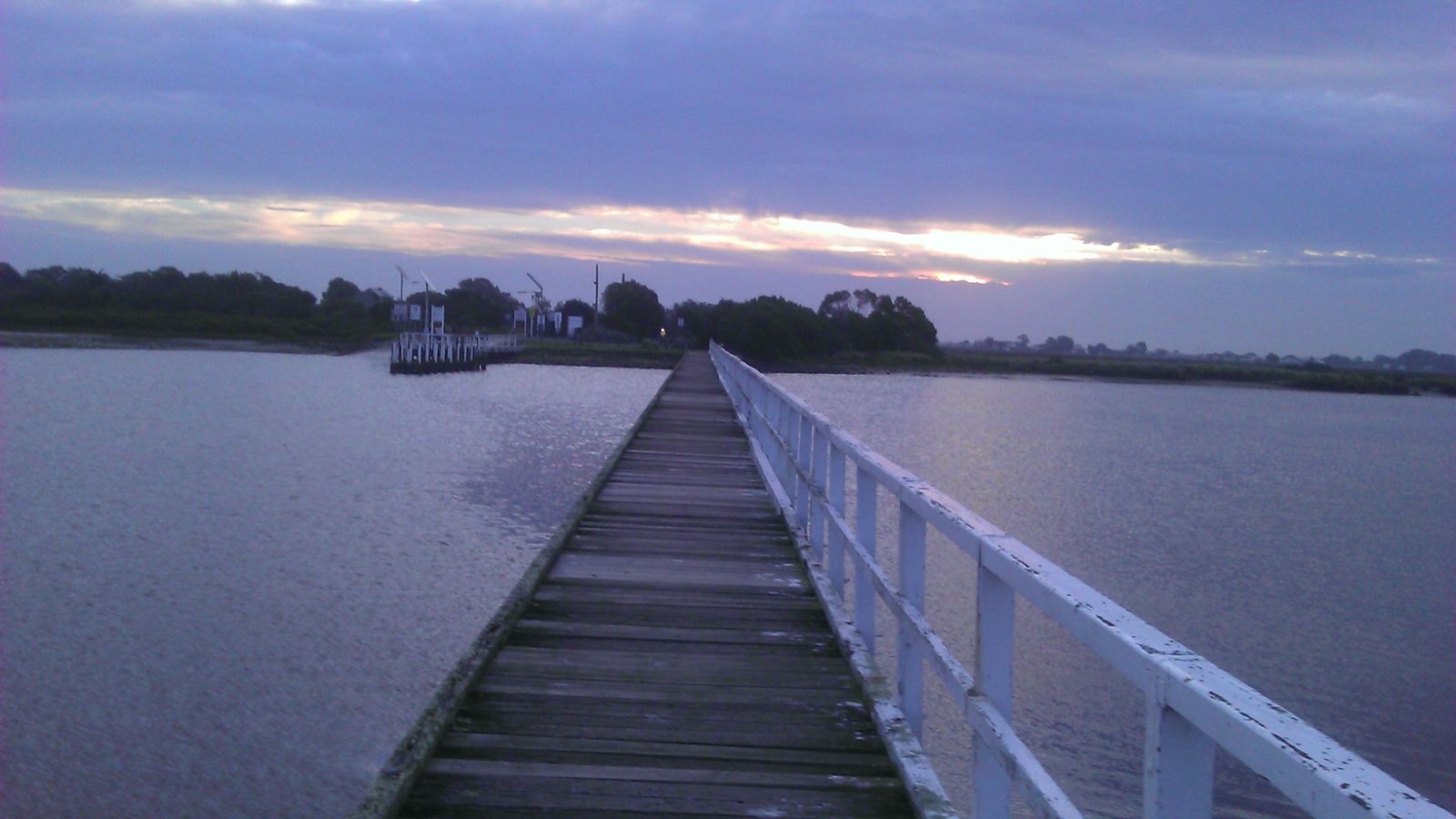 © BB Aussie Fab
The spot
Community-maintained
Community contribution: submitted by Daniel
Know before you go
Logged by the community, confirmed by mods
Moderate risk: Unpatrolled Beach
McLoughlins Beach is not patrolled by lifeguards or surf lifesavers. Swim with caution and never alone.
Moderate risk: Rip Currents
As an exposed surf beach on the Ninety Mile Beach, rip currents can form, particularly after periods of larger swell.
Low risk: Poor Water Quality After Rain
Water quality can be rated POOR for up to 48 hours after heavy rainfall. Check EPA Beach Report before entering.
Wildlife Guide
No wildlife notes for this spot yet.
Gallery
3 photos from the community
Getting in
Shore entry
Entry
McLoughlins Beach is located approximately 30 km south of Sale in the Gippsland region. From the South Gippsland Highway, turn onto McLoughlins Beach Road and follow it to the carpark. From the carpark, a 500m walk through dunes and down stairs leads to the beach. There is also a separate car park near the boat ramp and wharf with a footbridge over the inlet.
Parking & facilities
Carpark available at McLoughlins Beach Road end, plus a second parking area near the boat ramp and wharf. Some 4WD-only beach access road runs roughly 3.5 km parallel to the beach.
parkingtoiletsboat_ramp
Free entry
Spot Map
Community
Gallery ┬╖ 3 photos
Trust
Is this spot real, accurate, still loved?
Spots near Victoria

No nearby spots yet.
Needs verification
Quick verify
One tap helps the community keep this spot honest.
About this data
- Conditions last evaluated
- Spot data last updated
- Data sources
- Open-Meteo (marine & weather conditions), tide predictions via UTide, community contributors (descriptions, hazards, marine life).
- License
- Spot content licensed under CC BY-SA 4.0. How's the Spot is open source.
Weather & swell ┬╖ Open-Meteo marine & weather APIs Tides ┬╖ UTide harmonic analysis Sea & safety ┬╖ community reports