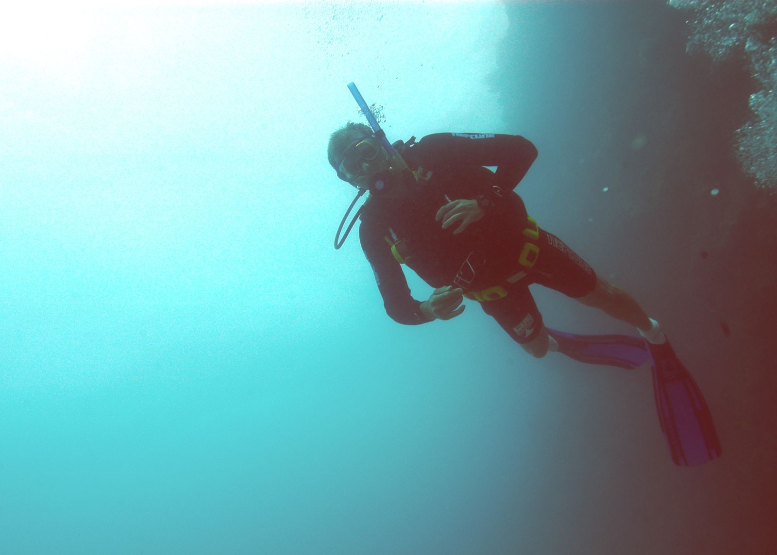
Manta Ray Bay, tucked along the rugged northern coast of Hook Island in the Whitsundays, is a premier snorkel and dive site famous for its resident friendly Maori wrasse named 'George', giant trevallies, and batfish that greet visitors. The bay features a shallow maze of coral bommies carpeted with hard and soft corals, offering easy access for snorkelers. The calm, protected waters and excellent visibility (15–30 m) make it a standout spot in the Great Barrier Reef Central region. The bay's name reflects its status as a reliable manta ray cleaning station, especially from May through September.
Manta Ray Bay
BeginnerGO
GO
It's a go.
Showing last known conditions
Wave Height 0.0 mSwell Period 2.5 sWind Speed 1.6 knPrecipitation 0.8 mmTidal Phase flood
Last evaluated
The spot
Community-maintained
Community contribution: submitted by Daniel
Know before you go
Logged by the community, confirmed by mods
Low risk: Wind-driven chop
Manta Ray Bay is generally sheltered, but northerly winds can create choppy surface conditions and reduced visibility.
Low risk: Tidal current
Strong tidal flows through Whitsunday Passage can create currents around the headlands of the bay.
Wildlife Guide
No wildlife notes for this spot yet.
Gallery
2 photos from the community
Getting in
Snorkel tour
Entry
Manta Ray Bay is located on the north side of Hook Island in the Whitsunday Islands. Access is exclusively by boat, typically via snorkel or dive tour operators departing from Airlie Beach or Shute Harbour. Day trips and liveaboard charters include this site.
Parking & facilities
Park at the tour operator's office in Airlie Beach (Shute Harbour Road or Port of Airlie). Limited metered parking available.
toilets
Access requires a paid tour — day trips from Airlie Beach start around $150-250 AUD per person, including gear, lunch, and reef taxes.
Spot Map
Community
Gallery ┬╖ 2 photos
Trust
Is this spot real, accurate, still loved?
Spots near Queensland

No nearby spots yet.
Needs verification
Quick verify
One tap helps the community keep this spot honest.
About this data
- Conditions last evaluated
- Spot data last updated
- Data sources
- Open-Meteo (marine & weather conditions), tide predictions via UTide, community contributors (descriptions, hazards, marine life).
- License
- Spot content licensed under CC BY-SA 4.0. How's the Spot is open source.
Weather & swell ┬╖ Open-Meteo marine & weather APIs Tides ┬╖ UTide harmonic analysis Sea & safety ┬╖ community reports