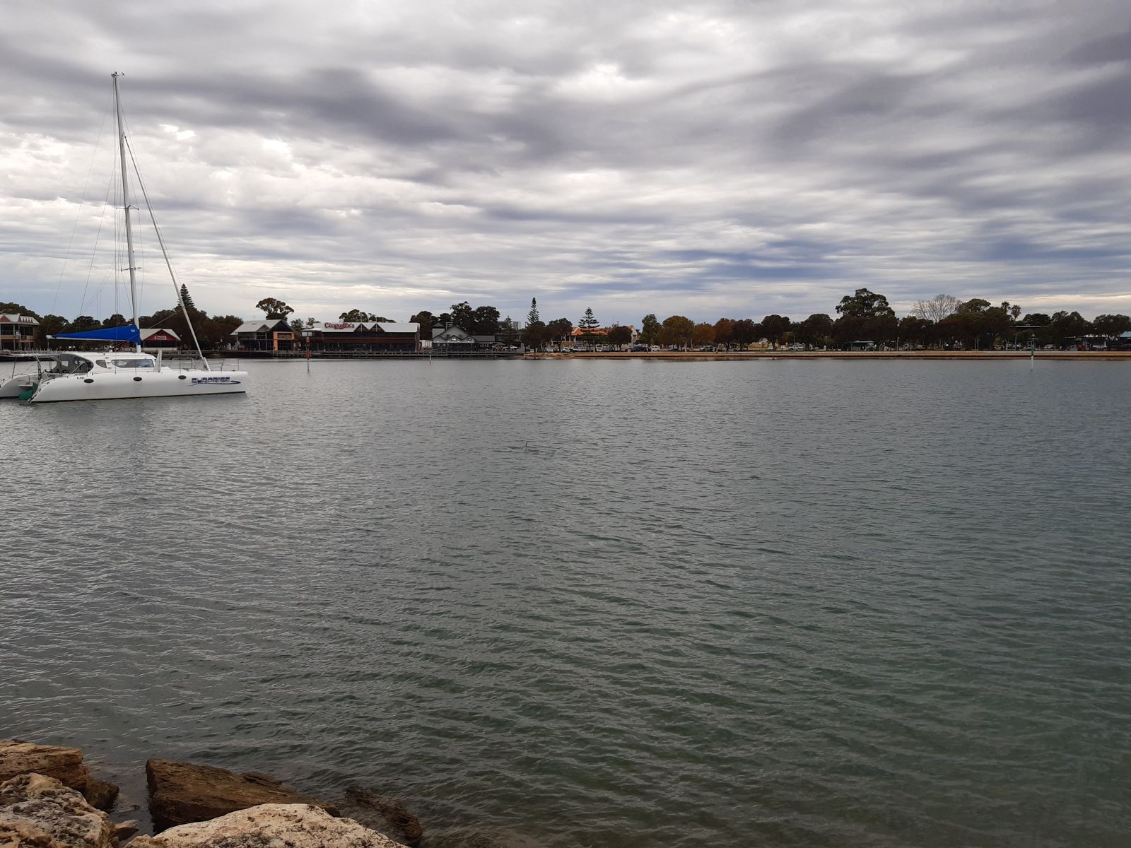
Mandjar Bay is the protected, estuarine heart of Mandurah, where the Peel-Harvey Estuary meets the town's canal system. Named from the Noongar word 'mandjar' meaning 'meeting place', this shallow, sheltered bay offers calm, warm waters ideal for spotting Indo-Pacific bottlenose dolphins that frolic near the shoreline. The sandy bottom and gentle currents make it a relaxed snorkel setting, with easy access from the Mandurah foreshore boardwalk and nearby parks. A truly unique urban estuary snorkel just an hour south of Perth.
Mandjar Bay
BeginnerMAYBE
MAYBE
Fair. Experienced snorkellers only.
Showing last known conditions
Wave Height 0.6 mSwell Period 12 sWind Speed 0.8 knPrecipitation 0.6 mmTidal Phase ebb
Last evaluated
 © Calistemon
The spot
Community-maintained
Community contribution: submitted by Daniel
Know before you go
Logged by the community, confirmed by mods
Low risk: Motorised watercraft traffic
Mandjar Bay is part of the Mandurah estuary system used by boats, jet skis, and canal cruisers. Stay vigilant near channel markers.
Low risk: Stinging jellyfish
Warmer months can bring stinging jellyfish into the shallow estuary waters.
Wildlife Guide
No wildlife notes for this spot yet.
Gallery
2 photos from the community
Getting in
Shore entry
Entry
Mandjar Bay is located along the Mandurah foreshore, directly off the Mandurah Estuary Bridge area. From Perth, take the Kwinana Freeway south ~72 km, exit at Mandurah and follow signs to the Mandurah Foreshore / Eastern Foreshore. The bay is walkable from the Mandurah Visitor Centre at 75 Mandurah Terrace.
Parking & facilities
Multiple paid and free parking lots available along Mandurah Terrace and the Eastern Foreshore adjacent to the bay.
toiletsparkingdrinking_waterpicnic_tables
Free access. Pay parking applies in some foreshore lots.
Spot Map
Community
Gallery ┬╖ 2 photos
Trust
Is this spot real, accurate, still loved?
Spots near Western Australia

No nearby spots yet.
Needs verification
Quick verify
One tap helps the community keep this spot honest.
About this data
- Conditions last evaluated
- Spot data last updated
- Data sources
- Open-Meteo (marine & weather conditions), tide predictions via UTide, community contributors (descriptions, hazards, marine life).
- License
- Spot content licensed under CC BY-SA 4.0. How's the Spot is open source.
Weather & swell ┬╖ Open-Meteo marine & weather APIs Tides ┬╖ UTide harmonic analysis Sea & safety ┬╖ community reports