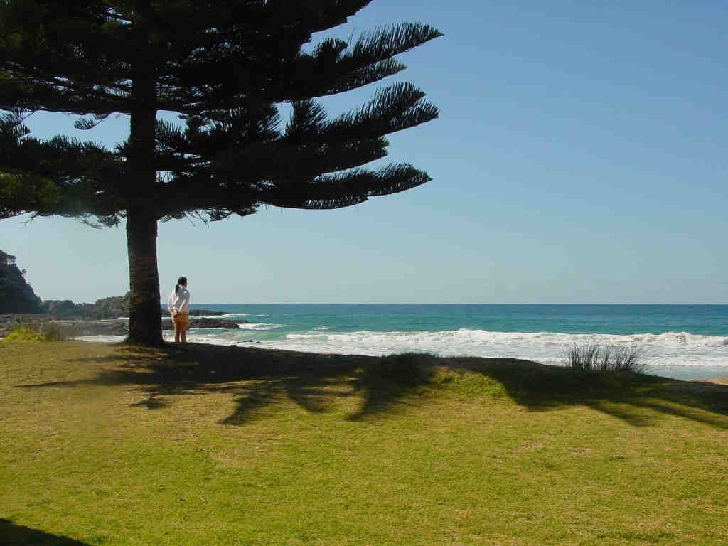
Malua Bay Beach, on the NSW South Coast near Batemans Bay, offers excellent shore-entry snorkelling over a colourful pebbly seabed. The beach is protected by rocky headlands on either side, creating calm inshore conditions ideal for exploring rocky reefs, kelp beds, and rubble patches close to shore. Ample parking, grassy reserve, toilets, showers, and nearby cafés make it a convenient base for a full day of underwater exploration. The adjacent Batemans Marine Park sanctuary zones at nearby bays offer even richer marine encounters.
Malua Bay Beach
BeginnerGO
GO
It's a go.
Showing last known conditions
Wave Height 0.7 mSwell Period 6.7 sWind Speed 9.6 knPrecipitation 16 mmTidal Phase flood
Last evaluated
 © MathsIsFun
The spot
Community-maintained
Community contribution: submitted by Daniel
Know before you go
Logged by the community, confirmed by mods
Low risk: Easterly swell
Ocean swells from the east can increase wave height and create shore break, making entry and exit more difficult.
Low risk: Submerged rocky ridges
Rocky reef platforms extend from the headlands and can be difficult to see in choppy water, posing a scrape or entanglement risk.
Low risk: Urchin barrens
Sea urchins are common among rocky reef crevices and kelp beds further from shore; stepping on them can cause painful injury.
Wildlife Guide
No wildlife notes for this spot yet.
Gallery
3 photos from the community
Getting in
Shore entry
Entry
Malua Bay Beach is on George Bass Drive, about 10 minutes south of Batemans Bay. Turn towards the sea at Malua Bay and follow signs to the beachfront reserve.
Parking & facilities
Ample street and car park parking is available along the beachfront reserve, with additional overflow parking at the clubhouse precinct.
toiletsparkingshowerspicnic_tablesdrinking_water
Free entry. No parking fees.
Spot Map
Community
Gallery ┬╖ 3 photos
Trust
Is this spot real, accurate, still loved?
Spots near Victoria

No nearby spots yet.
Needs verification
Quick verify
One tap helps the community keep this spot honest.
About this data
- Conditions last evaluated
- Spot data last updated
- Data sources
- Open-Meteo (marine & weather conditions), tide predictions via UTide, community contributors (descriptions, hazards, marine life).
- License
- Spot content licensed under CC BY-SA 4.0. How's the Spot is open source.
Weather & swell ┬╖ Open-Meteo marine & weather APIs Tides ┬╖ UTide harmonic analysis Sea & safety ┬╖ community reports