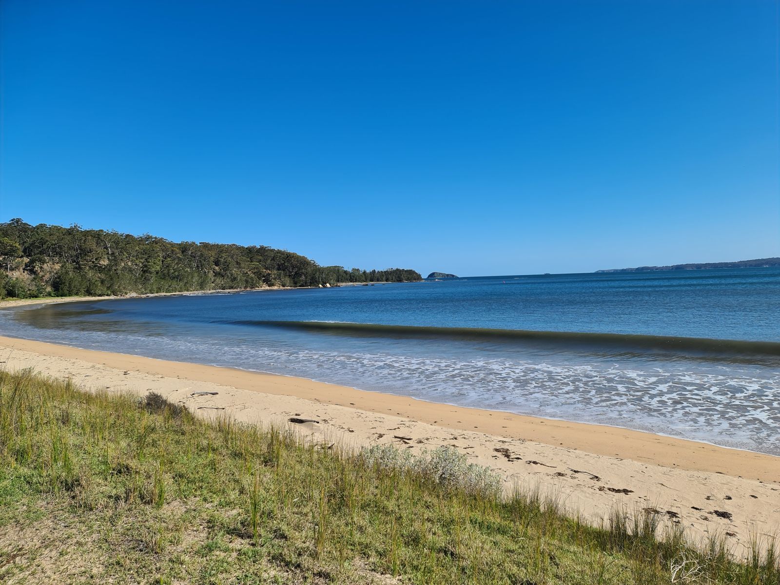
Tucked at the southern tip of Murramarang National Park, just minutes north of Batemans Bay, Maloneys Beach is a sheltered, family-friendly snorkel spot with calm, shallow waters. The best snorkelling lies off the beach to the left, where a short swim brings you to rocky formations and the adjacent Chain Bay and Acheron Ledge — a maze of nooks, ledges, and reef structure teeming with fish life. A grassy reserve with barbecues, a boat ramp, toilets, and resident kangaroos makes it an easy full-day outing on the NSW South Coast.
Maloneys Beach
BeginnerMAYBE
MAYBE
Fair. Experienced snorkellers only.
Showing last known conditions
Wave Height 0.0 mSwell Period 0.0 sWind Speed 0.3 knPrecipitation 35 mmTidal Phase flood
Last evaluated
 © Grahamec
The spot
Community-maintained
Community contribution: submitted by Daniel
Know before you go
Logged by the community, confirmed by mods
Moderate risk: Ocean swells and surge at Acheron Ledge
Exposed rocky areas can experience sudden ocean swells and surge, especially on rougher days, making conditions challenging for less experienced snorkellers.
Low risk: Strong surf at beach exit
When returning from snorkelling parallel to the beach, swimmers need to navigate through the surf zone to reach shore — caution advised on rougher days.
Low risk: Rocky reef edges
The best snorkelling areas feature rocky formations and ledges with sharp edges; watch for cuts and avoid climbing on slippery rocks.
Low risk: Park closure during fire danger
Murramarang National Park may close during extreme fire danger or poor weather — check alerts before travelling.
Low risk: Rocks and submerged reef ledges
Sharp rocks and reef ledges near Chain Bay and the headland require care when entering and exiting the water, and to avoid cuts.
Low risk: Marine stingers (bluebottles)
Bluebottles and other stingers can be present, particularly during spring and summer months.
Wildlife Guide
No wildlife notes for this spot yet.
Gallery
6 photos from the community
Getting in
Shore entry
Entry
From Batemans Bay, head north on the Princes Highway for about 5 minutes, then turn east onto Maloneys Drive and follow it to the beach carpark.
Parking & facilities
Designated carpark at the end of Maloneys Drive, with space for cars and trailers.
toiletsparkingpicnic_tablesboat_ramp
$8 per vehicle per day (Murramarang National Park entry fee). Pay machines accept cash and credit cards.
Spot Map
Community
Gallery ┬╖ 6 photos
Trust
Is this spot real, accurate, still loved?
Spots near Victoria

No nearby spots yet.
Needs verification
Quick verify
One tap helps the community keep this spot honest.
About this data
- Conditions last evaluated
- Spot data last updated
- Data sources
- Open-Meteo (marine & weather conditions), tide predictions via UTide, community contributors (descriptions, hazards, marine life).
- License
- Spot content licensed under CC BY-SA 4.0. How's the Spot is open source.
Weather & swell ┬╖ Open-Meteo marine & weather APIs Tides ┬╖ UTide harmonic analysis Sea & safety ┬╖ community reports