Byron Bay's iconic Main Beach is a sheltered, north-facing crescent of white sand that offers gentle swimming conditions and a surprising underwater world just offshore. Snorkelers can explore shallow sandy patches and rocky reef edges near the southern end, where the remains of the SS Wollongbar shipwreck — known simply as "The Wreck" — sits just 30 metres out, attracting fish, wobbegong sharks, and sea turtles. Located within the Cape Byron Marine Park, this patrolled beach provides calm, protected waters ideal for a leisurely snorkel, with dramatic views of the Byron Bay lighthouse from the shore.
Main Beach (Byron Bay)
BeginnerGO
GO
It's a go.
Showing last known conditions
Wave Height 0.9 mSwell Period 7.0 sWind Speed 7.5 knPrecipitation 0.0 mmTidal Phase flood
Last evaluated
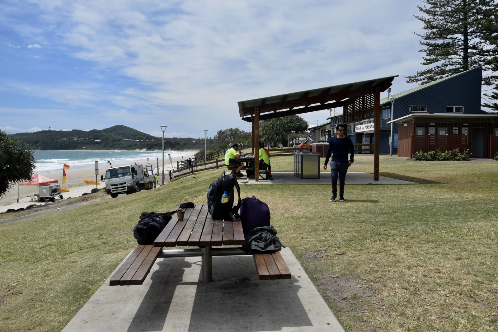 © Ank Kumar
The spot
Community-maintained
Community contribution: submitted by Daniel
Know before you go
Logged by the community, confirmed by mods
Low risk: Strong rips near the wreck structure
Currents can pick up around the exposed wreckage of the SS Wollongbar, especially on an outgoing tide. Swim with caution near the structure.
Low risk: Surf zone hazard
Main Beach can experience shore break and occasional swell, particularly in winter. The beach is patrolled, but swim between the flags.
Low risk: Vessel traffic
Boat traffic near the shore and around The Wreck can be present. Snorkelers should keep a lookout for boats and jet skis.
Low risk: Stinging jellyfish
Bluebottles and other jellyfish can appear in warmer months. Wear a wetsuit or protective clothing.
Wildlife Guide
No wildlife notes for this spot yet.
Gallery
1 photo from the community
Getting in
Shore entry
Entry
Located at the northern end of Byron Bay township. From the town centre, head east on Jonson Street which leads directly to the beachfront. The coastal pathway connects Main Beach to Clarkes Beach and The Pass to the south.
Parking & facilities
Paid parking in the main beachfront carpark at $4-5 per hour with a 4-hour time limit, capped at $20-25 for all day. Operates 9am-6pm daily including public holidays. The carpark fills quickly in peak season.
toiletsparkingshowersdrinking_waterpicnic_tables
No entry fee. Paid parking applies.
Spot Map
Community
Gallery ┬╖ 1 photos
Trust
Is this spot real, accurate, still loved?
Spots near New South Wales

No nearby spots yet.
Needs verification
Quick verify
One tap helps the community keep this spot honest.
About this data
- Conditions last evaluated
- Spot data last updated
- Data sources
- Open-Meteo (marine & weather conditions), tide predictions via UTide, community contributors (descriptions, hazards, marine life).
- License
- Spot content licensed under CC BY-SA 4.0. How's the Spot is open source.
Weather & swell ┬╖ Open-Meteo marine & weather APIs Tides ┬╖ UTide harmonic analysis Sea & safety ┬╖ community reports