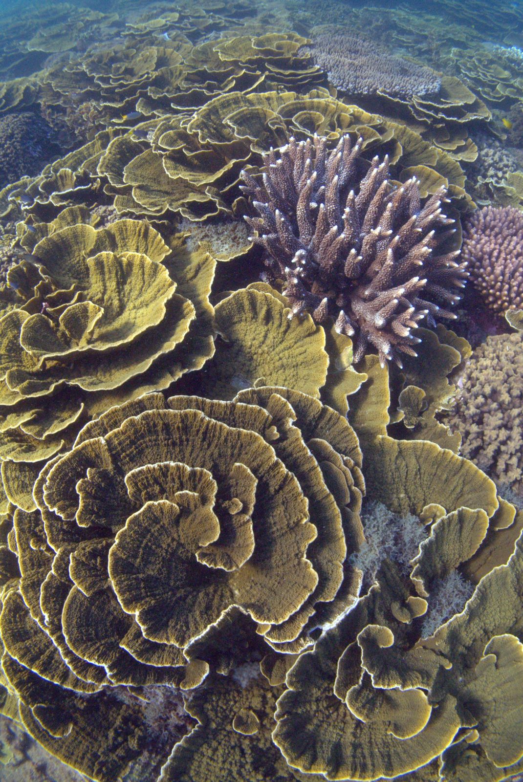
Magnetic Island's two marked snorkel trails — Nelly Bay and Geoffrey Bay — offer a self-guided underwater adventure among vibrant coral gardens teeming with marine life. Established in 2012 by marine biologist Dr. Rick Braley, these trails feature yellow surface floats with handles that guide snorkelers along a route past massive 100kg giant clams, colourful reef fish, and healthy coral formations. The trails start about 100m offshore and are accessible straight from the beach, making them perfect for beginners and families. A waterproof Snorkel Trail Card (available locally) provides maps, species ID, and safety tips to enrich your experience.
Magnetic Island Snorkel Trails
BeginnerGO
GO
It's a go.
Showing last known conditions
Wave Height 0.3 mSwell Period 3.2 sWind Speed 13 knPrecipitation 1.1 mmTidal Phase flood
Last evaluated
The spot
Community-maintained
Community contribution: submitted by Daniel
Know before you go
Logged by the community, confirmed by mods
Moderate risk: Shark control line confusion
Be careful not to confuse the trail floats with the yellow outer marine markers that indicate shark control lines — do not swim out to those.
Moderate risk: Confusion with shark control buoys
Yellow outer marine markers in the area are shark control lines, not trail floats. Do not swim out to them. Trail floats are closest to shore, have handles, and say 'Snorkel Trail Float – No Anchoring'.
Low risk: Low tide exposure
The snorkel trails are not accessible at very low tide when coral is exposed or water is too shallow.
Low risk: Variable wind and currents
Wind and currents can affect visibility and swimming conditions. Check local conditions before entering the water.
Low risk: Sharp coral and reef damage
Corals are fragile and sharp. Never stand on the reef; use trail float handles to rest.
Low risk: Low tide inaccessibility
The snorkel trails are not accessible at low tide when the reef is exposed or water is too shallow. Snorkel only on rising or high tides.
Low risk: Wind and currents
Prevailing winds and currents can create choppy conditions and reduce visibility, especially in less sheltered bays.
Low risk: Sharp coral reef
Sharp coral and rocky reef edges. Never stand on the reef; use the trail float handles to rest or bring flotation devices.
Wildlife Guide
No wildlife notes for this spot yet.
Gallery
1 photo from the community
Getting in
Shore entry
Entry
The Nelly Bay Snorkel Trail is a 20-minute walk from the Nelly Bay Ferry Terminal (ferries from Townsville). The Geoffrey Bay Snorkel Trail is located near the Geoffrey Bay foreshore in Arcadia. Both trails start roughly 100m offshore and are marked by yellow surface floats.
Parking & facilities
Parking available near Nelly Bay beach and Geoffrey Bay foreshore in Arcadia.
parkingtoilets
Free; ferry fare required from Townsville. Snorkel Trail Cards (with maps and safety info) available at Pleasure Divers in Arcadia for a small fee to support trail maintenance.
Spot Map
Community
Gallery ┬╖ 1 photos
Trust
Is this spot real, accurate, still loved?
Spots near Queensland

No nearby spots yet.
Needs verification
Quick verify
One tap helps the community keep this spot honest.
About this data
- Conditions last evaluated
- Spot data last updated
- Data sources
- Open-Meteo (marine & weather conditions), tide predictions via UTide, community contributors (descriptions, hazards, marine life).
- License
- Spot content licensed under CC BY-SA 4.0. How's the Spot is open source.
Weather & swell ┬╖ Open-Meteo marine & weather APIs Tides ┬╖ UTide harmonic analysis Sea & safety ┬╖ community reports