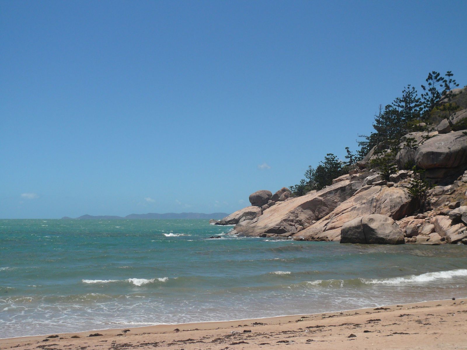
Alma Bay is a protected, crescent-shaped beach on Magnetic Island's southeastern side, fringed by a healthy coral reef that makes it one of the island's top snorkelling destinations. The water is calm and clear, with shallow depths of 5–8 metres, making it perfect for beginners and families. Snorkel along the rocky headland on the right side of the beach (facing the water) to find colourful coral bommies, sea cucumbers, and abundant reef fish. The bay is sheltered from prevailing winds, offering excellent visibility. With picnic tables, showers, toilets, and a nearby playground, it's a well-equipped spot for a full day out.
Magnetic Island (Alma Bay)
BeginnerGO
GO
It's a go.
Showing last known conditions
Wave Height 0.3 mSwell Period 3.2 sWind Speed 13 knPrecipitation 1.1 mmTidal Phase flood
Last evaluated
The spot
Community-maintained
Community contribution: submitted by Daniel
Know before you go
Logged by the community, confirmed by mods
Moderate risk: Marine stingers (box jellyfish / Irukandji)
Stinger (jellyfish) season runs from November to May in North Queensland waters. Marine stingers including box jellyfish may be present. Wear a stinger suit and swim at patrolled areas.
Low risk: Sharp rocks at headland entry/exit
The rocky headland on the right side of the bay has sharp, uneven rocks. Wear reef shoes or dive boots to avoid cuts when entering and exiting the water.
Low risk: Boat traffic
Boat traffic can occur in the bay, particularly near the boat ramp and during busy periods. Snorkelers should stay aware and close to the shoreline.
Wildlife Guide
No wildlife notes for this spot yet.
Gallery
4 photos from the community
Getting in
Shore entry
Entry
Alma Bay is located on the southeastern side of Magnetic Island, accessible via the Alma Bay Road turn-off from the main island road. Ferries run from Townsville to Nelly Bay Harbour (20–25 min); from Nelly Bay it's a short walk or taxi ride to Alma Bay.
Parking & facilities
Limited roadside parking is available along Alma Bay Road near the beachfront. The main car park can fill up quickly on weekends and holidays; a larger overflow car park is nearby just up the road from the beach. Free parking is available for all beach access.
Spot Map
Community
Gallery ┬╖ 4 photos
Trust
Is this spot real, accurate, still loved?
Spots near Queensland

No nearby spots yet.
Needs verification
Quick verify
One tap helps the community keep this spot honest.
About this data
- Conditions last evaluated
- Spot data last updated
- Data sources
- Open-Meteo (marine & weather conditions), tide predictions via UTide, community contributors (descriptions, hazards, marine life).
- License
- Spot content licensed under CC BY-SA 4.0. How's the Spot is open source.
Weather & swell ┬╖ Open-Meteo marine & weather APIs Tides ┬╖ UTide harmonic analysis Sea & safety ┬╖ community reports