Just north of George Town where the Tamar River meets Bass Strait, the Low Head Lighthouse Reserve fringes a rocky reef system shaped by tidal flows. The shallow reef shelves off from the shoreline near the historic lighthouse, offering cold-temperate water snorkeling over boulders and rocky gutters encrusted with kelp and sponges. Sheltered from the prevailing westerlies by the headland, conditions are often calm enough for a shore-entry swim out to the reef edge, where the drop-off attracts schools of fish drawn to the mixing currents. It's a less-visited alternative to the more famous Tasmanian marine reserves, with the lighthouse and coastal reserve providing a scenic backdrop.
Low Head Lighthouse Reserve snorkeling reef
IntermediateGO
GO
It's a go.
Showing last known conditions
Wave Height 0.3 mSwell Period 5.0 sWind Speed 0.8 knPrecipitation 14 mmTidal Phase flood
Last evaluated
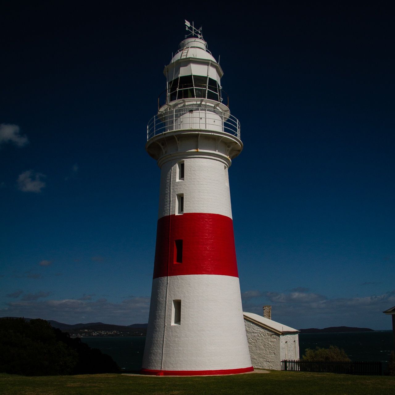 © Stephen Edmonds
The spot
Community-maintained
Community contribution: submitted by Daniel
Know before you go
Logged by the community, confirmed by mods
Moderate risk: Outgoing tide current
The reef sits near the mouth of the Tamar River estuary. A strong outgoing tide can create swift currents pulling snorkelers seaward toward Bass Strait.
Moderate risk: Strong tidal currents (western side)
The Tamar River mouth funnels powerful currents around the western reefs. Drift diving is possible but requires careful exit planning.
Moderate risk: Rough surf and rips
East Beach can develop dangerous rips at low tide, especially during strong winds from Bass Strait.
Low risk: Cold water temperatures
Tasmanian coastal waters are cold year-round (12–17°C / 54–63°F). A 5mm wetsuit, hood, boots and gloves are strongly recommended for comfort and safety.
Low risk: Exposed to swell
When northerly or north-easterly winds pick up, the reef becomes exposed to open-ocean swell from Bass Strait, creating rough conditions and surge over the rocks.
Low risk: Sharp reef and rocky bottom
The reef consists of sandstone boulders and broken rock with sharp edges. Reef shoes or booties are essential to avoid cuts.
Low risk: Exposed Bass Strait swell
The point is unprotected from Bass Strait weather. Strong winds and building swell can occur suddenly.
Wildlife Guide
No wildlife notes for this spot yet.
Gallery
3 photos from the community
Getting in
Shore entry
Entry
From Launceston, take the East Tamar Highway (A8) north to George Town (51 km). Continue north on Low Head Road for approximately 6 km to reach the Low Head Lighthouse Reserve. There is a carpark near the lighthouse and the beach/reef access points along Low Head Road.
Parking & facilities
Unsealed carpark available at the Low Head Lighthouse Reserve, near the lighthouse and Pilot Bay. Additional parking at East Beach and Lagoon Beach nearby.
parkingtoiletspicnic_tables
No entry fee for the Low Head Historic Site reserve.
Spot Map
Community
Gallery ┬╖ 3 photos
Trust
Is this spot real, accurate, still loved?
Spots near Tasmania

No nearby spots yet.
Needs verification
Quick verify
One tap helps the community keep this spot honest.
About this data
- Conditions last evaluated
- Spot data last updated
- Data sources
- Open-Meteo (marine & weather conditions), tide predictions via UTide, community contributors (descriptions, hazards, marine life).
- License
- Spot content licensed under CC BY-SA 4.0. How's the Spot is open source.
Weather & swell ┬╖ Open-Meteo marine & weather APIs Tides ┬╖ UTide harmonic analysis Sea & safety ┬╖ community reports