Low Head marks the eastern entrance to the Tamar River estuary on Tasmania's north coast, offering a collection of sheltered coves, sandy beaches, and rocky reef flats that transform with the tide. The protected inshore waters, shaped by the Tamar River mouth and Bass Strait swells, provide clear conditions on calm days, with rocky platforms hosting encrusting sponges, anemones, and seaweed gardens. The historic Low Head Lighthouse overlooks the coastline, and the area's shallow reefs are particularly accessible during low-swell periods, making it a popular local choice for both shore-entry snorkeling and scuba training dives in North East Tasmania.
Low Head Beaches (general snorkeling/scuba area)
IntermediateGO
GO
It's a go.
Showing last known conditions
Wave Height 0.5 mSwell Period 5.0 sWind Speed 0.8 knPrecipitation 14 mmTidal Phase flood
Last evaluated
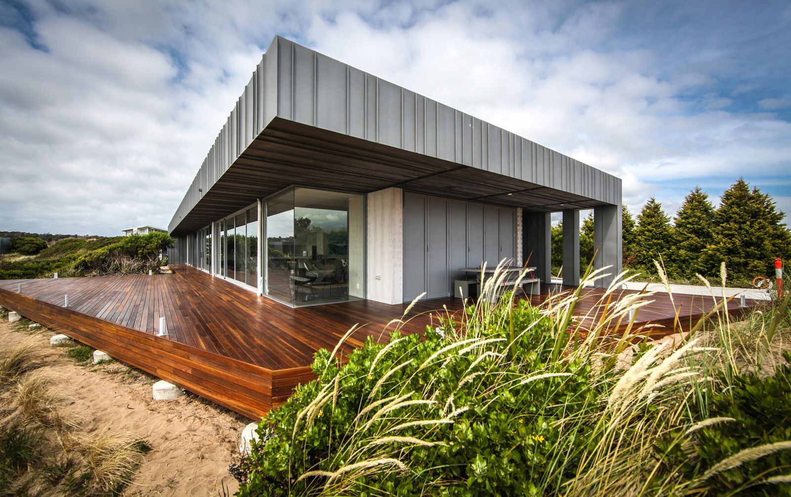 © CBG Architects PL
The spot
Community-maintained
Community contribution: submitted by Daniel
Know before you go
Logged by the community, confirmed by mods
Moderate risk: Outgoing tide current
Strong tidal flows can develop near the Tamar River mouth, especially on outgoing tides, creating swift currents that may sweep swimmers seaward.
Low risk: Swell and wind chop
Exposed to Bass Strait swells; southerly and easterly winds can produce choppy conditions and sudden increases in wave height.
Low risk: Cold water temperature
Cold water year-round (typically 11-17 C), increasing risk of hypothermia without adequate wetsuit protection.
Low risk: Slippery rocks and reef
Patches of loose rock and uneven reef substrate near shoreline entry points can cause slips and cuts.
Wildlife Guide
No wildlife notes for this spot yet.
Gallery
1 photo from the community
Getting in
Shore entry
Entry
Low Head is located at the mouth of the Tamar River, approximately 45 minutes north of Launceston via the East Tamar Highway (A8). Turn onto Low Head Road and follow to the coastal reserve. Multiple beach access points are available along the foreshore.
Parking & facilities
Parking available at the Low Head Coastal Reserve and near the lighthouse along Low Head Road.
parkingtoilets
Free access to most beaches; no entry fees.
Spot Map
Community
Gallery ┬╖ 1 photos
Trust
Is this spot real, accurate, still loved?
Spots near Tasmania

No nearby spots yet.
Needs verification
Quick verify
One tap helps the community keep this spot honest.
About this data
- Conditions last evaluated
- Spot data last updated
- Data sources
- Open-Meteo (marine & weather conditions), tide predictions via UTide, community contributors (descriptions, hazards, marine life).
- License
- Spot content licensed under CC BY-SA 4.0. How's the Spot is open source.
Weather & swell ┬╖ Open-Meteo marine & weather APIs Tides ┬╖ UTide harmonic analysis Sea & safety ┬╖ community reports