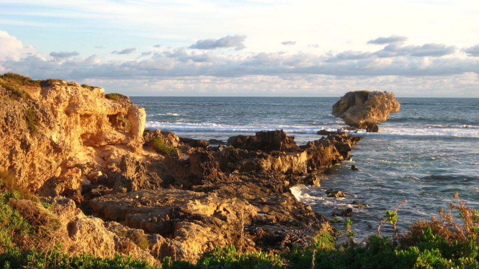
Long Reach is a sandy snorkelling beach on the eastern side of Point Peron, within Rockingham Lakes Regional Park in the Shoalwater Marine Park. This sheltered pocket of limestone reef and seagrass meadows is a popular shore-entry spot, with gently sloping sand at both the north and south ends that makes it easy to wade in. About 150 metres offshore, divers find deeper reef systems with caves and swim-throughs, while snorkellers can explore the shallow rocky ledges closer in. Part of a marine park, it's known for clear summer waters and a peaceful atmosphere away from Perth's busier metro beaches.
Long Reach
BeginnerMAYBE
MAYBE
Fair. Experienced snorkellers only.
Showing last known conditions
Wave Height 0.6 mSwell Period 11 sWind Speed 0.6 knPrecipitation 0.7 mmTidal Phase ebb
Last evaluated
 © Geochick
The spot
Community-maintained
Community contribution: submitted by Daniel
Know before you go
Logged by the community, confirmed by mods
Low risk: Ocean swell and surge on offshore reefs
The deeper reefs 150 m offshore can experience ocean swell and surge, which may surprise weaker swimmers.
Low risk: Limited visibility after rough weather
Storms or strong winds can stir up sand and seagrass particles, reducing underwater visibility.
Low risk: Protruding limestone rocks at low tide
Shallow limestone formations can be exposed or just below the surface at low tide, posing a scraping risk.
Low risk: Strong currents around Point Peron
Tidal currents can sweep around the point, potentially carrying snorkelers away from the sheltered area.
Wildlife Guide
No wildlife notes for this spot yet.
Gallery
3 photos from the community
Getting in
Shore entry
Entry
From Rockingham, head south on Point Peron Road to the end. Long Reach is the beach on the eastern (left) side just before the road terminates at the Cape Peron carpark. Entry is from the sandy beach.
Parking & facilities
Parking available at the Point Peron carpark at the end of Point Peron Road. Spaces can fill up on weekends and public holidays.
toiletsparkingpicnic_tables
No entry fee. Part of Rockingham Lakes Regional Park.
Spot Map
Community
Gallery ┬╖ 3 photos
Trust
Is this spot real, accurate, still loved?
Spots near Western Australia

No nearby spots yet.
Needs verification
Quick verify
One tap helps the community keep this spot honest.
About this data
- Conditions last evaluated
- Spot data last updated
- Data sources
- Open-Meteo (marine & weather conditions), tide predictions via UTide, community contributors (descriptions, hazards, marine life).
- License
- Spot content licensed under CC BY-SA 4.0. How's the Spot is open source.
Weather & swell ┬╖ Open-Meteo marine & weather APIs Tides ┬╖ UTide harmonic analysis Sea & safety ┬╖ community reports