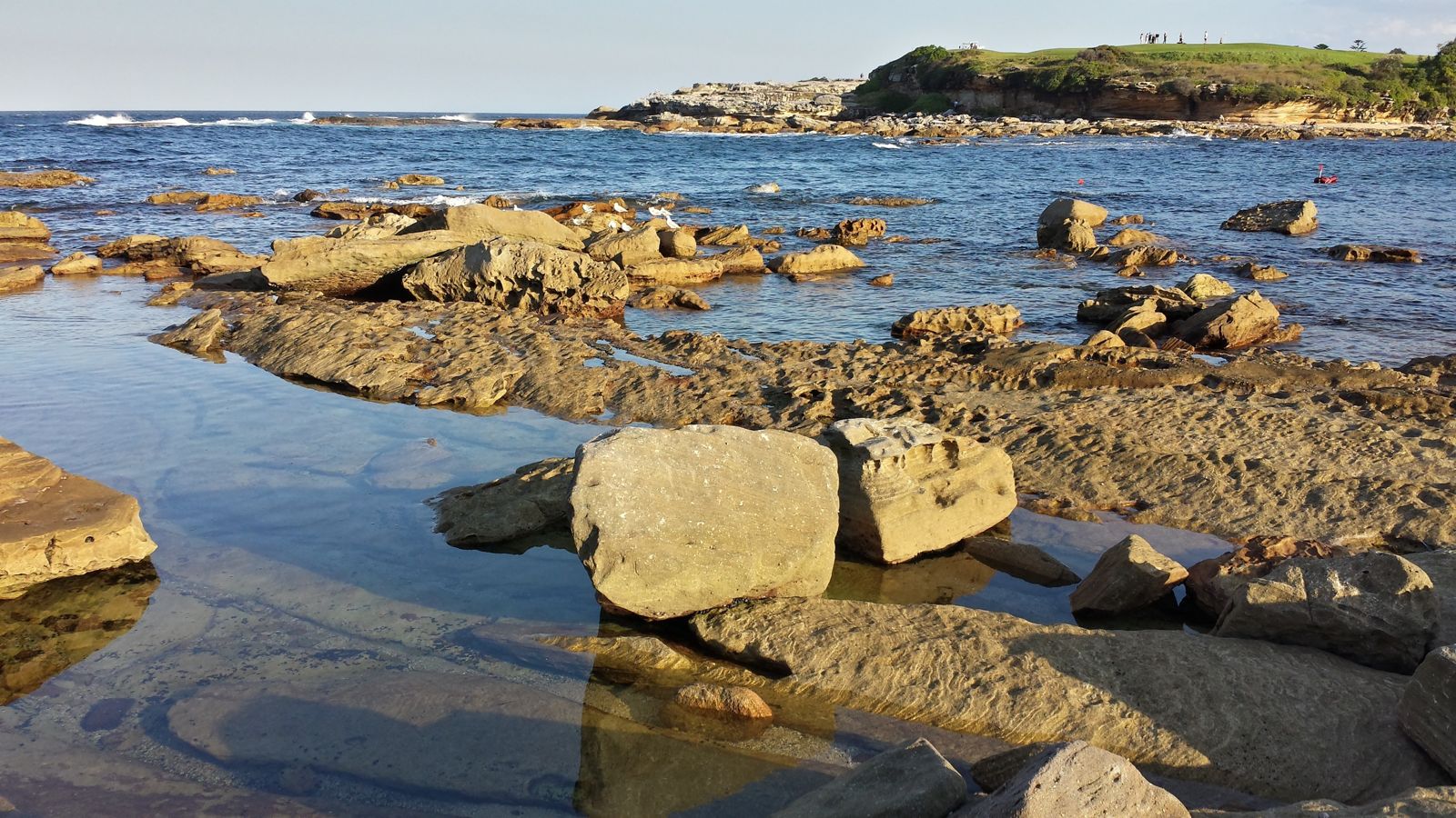
Little Bay is a sheltered, horseshoe-shaped beach nestled between sandstone headlands on Sydney's eastern seaboard, 14 km southeast of the CBD. Its calm, protected waters and white sandy bottom create a natural aquarium perfect for snorkeling — often calm even when other beaches are rough. This quiet local gem feels miles away from the city crowds, with abundant fish life, resident wobbegong sharks, and frequent visits from rays, octopus, and cuttlefish weaving through the rocky ledges and sandy flats.
Little Bay
BeginnerGO
GO
It's a go.
Showing last known conditions
Wave Height 0.1 mSwell Period 6.5 sWind Speed 1.5 knPrecipitation 7.6 mmTidal Phase flood
Last evaluated
The spot
Community-maintained
Community contribution: submitted by Daniel
Know before you go
Logged by the community, confirmed by mods
Low risk: Boat traffic near bay entrance
Small boats and dive boats occasionally enter and exit the bay. Stay alert near the headlands where the channel opens to the ocean.
Low risk: Rocky ledges and submerged rocks
Areas along the northern and southern edges of the bay have shallow rock platforms and submerged ledges. Wear fins and watch your footing when entering.
Low risk: Outgoing tide current
An outgoing tide can create a mild current pulling toward the bay's ocean opening, particularly near the centre of the bay. Less experienced swimmers should stay inside the sheltered zone.
Wildlife Guide
No wildlife notes for this spot yet.
Gallery
2 photos from the community
Getting in
Shore entry
Entry
From Sydney CBD, take Anzac Parade south and turn onto Bunnerong Road. Follow to the roundabout at Little Bay Road and turn left. Continue down the hill past the golf course to the beach car park at the end.
Parking & facilities
Free parking available in the beachside carpark at the end of Little Bay Road. Limited spots; arrive early on weekends.
toiletsshowersparkingpicnic_tables
Free entry. No fees for snorkeling or beach access.
Spot Map
Community
Gallery ┬╖ 2 photos
Trust
Is this spot real, accurate, still loved?
Spots near New South Wales

No nearby spots yet.
Needs verification
Quick verify
One tap helps the community keep this spot honest.
About this data
- Conditions last evaluated
- Spot data last updated
- Data sources
- Open-Meteo (marine & weather conditions), tide predictions via UTide, community contributors (descriptions, hazards, marine life).
- License
- Spot content licensed under CC BY-SA 4.0. How's the Spot is open source.
Weather & swell ┬╖ Open-Meteo marine & weather APIs Tides ┬╖ UTide harmonic analysis Sea & safety ┬╖ community reports