Latitude Rock is an isolated rocky reef rising from an otherwise sandy seabed about 8 km off Forster on NSW's Mid North Coast. The reef runs east-west as a sloped rock wall, plunging to 18 m on the northern side and shallowing to 10 m on the south. Sunlight-drenched sponge gardens in pink, orange and yellow coat the northern wall, while the southern side hosts lush kelp beds. This offshore pinnacle is famed for its resident grey nurse sharks, moray eels, wobbegongs, rays, turtles, and prolific macro life — truly a photographer's dream.
Latitude Rock
IntermediateGO
GO
It's a go.
Showing last known conditions
Wave Height 0.7 mSwell Period 5.3 sWind Speed 12 knPrecipitation 0.1 mmTidal Phase slack
Last evaluated
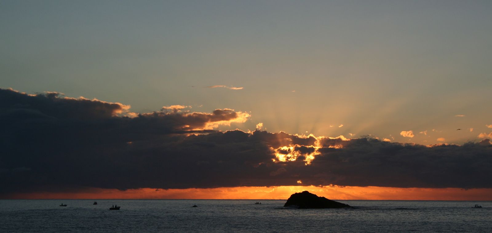
The spot
Community-maintained
Community contribution: submitted by Daniel
Know before you go
Logged by the community, confirmed by mods
Moderate risk: Swell and surge
Exposed offshore reef susceptible to ocean swell; the northern side may be chosen as the calmer option depending on conditions.
Low risk: Boat traffic
Popular for diving, fishing and spear fishing — other boats anchoring and departing in the area require caution.
Low risk: Variable visibility
Visibility can range from 7 m to 25 m; low vis makes navigation and safety stops on the shallow ridge more difficult.
Low risk: Strong currents
Gutters and overhangs on the northern side can channel currents; divers should be comfortable with drift conditions.
Wildlife Guide
No wildlife notes for this spot yet.
Gallery
1 photo from the community
Getting in
Boat
Entry
Latitude Rock is located approximately 8 km off Forster, north of Cape Hawke. Boat access only — launch from Forster Boat Harbour (Reserve Road, Forster) which has a 3-lane boat ramp, public pontoons, and parking.
Parking & facilities
Car parking available at Forster Boat Harbour on Reserve Road.
parkingboat_ramp
No direct fee for the dive site. Boat launching fees may apply at Forster Boat Harbour — check with MidCoast Council.
Spot Map
Community
Gallery ┬╖ 1 photos
Trust
Is this spot real, accurate, still loved?
Spots near New South Wales

No nearby spots yet.
Needs verification
Quick verify
One tap helps the community keep this spot honest.
About this data
- Conditions last evaluated
- Spot data last updated
- Data sources
- Open-Meteo (marine & weather conditions), tide predictions via UTide, community contributors (descriptions, hazards, marine life).
- License
- Spot content licensed under CC BY-SA 4.0. How's the Spot is open source.
Weather & swell ┬╖ Open-Meteo marine & weather APIs Tides ┬╖ UTide harmonic analysis Sea & safety ┬╖ community reports