Australia's deepest freshwater lake (167 m) nestled in the Cradle Mountain-Lake St Clair National Park, part of the Tasmanian Wilderness World Heritage Area. Carved by ancient glaciers, this pristine alpine lake offers crystal-clear, dark tannin-stained waters with spectacular mountain backdrops. Snorkelers can explore submerged glacial features, fallen timber structures, and the cool, calm waters near the shoreline around the boat ramp and Cynthia Bay area. The lake's remote wilderness setting and exceptional water clarity make it a unique freshwater snorkeling destination in Tasmania.
Lake St Clair
IntermediateMAYBE
MAYBE
Fair. Experienced snorkellers only.
Showing last known conditions
Wave Height 0.0 mSwell Period 0.0 sWind Speed 1.5 knPrecipitation 5.3 mmTidal Phase unknown
Last evaluated
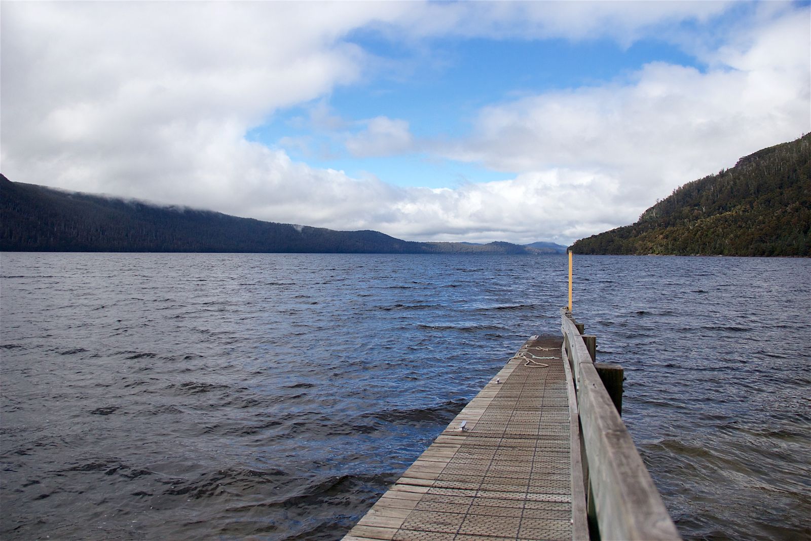
The spot
Community-maintained
Community contribution: submitted by Daniel
Know before you go
Logged by the community, confirmed by mods
Moderate risk: Cold Water Temperature
Lake St Clair is fed by alpine run-off; water temperatures remain very cold year-round, rarely exceeding 15°C in summer and dropping near freezing in winter. Wetsuit essential.
Moderate risk: Cold water temperatures
Alpine lake water remains very cold year-round (4-14°C). Hypothermia risk without adequate thermal protection. A wetsuit or drysuit is strongly recommended.
Moderate risk: Sudden weather changes
Tasmanian alpine weather is unpredictable with rapid wind shifts, rain, and temperature drops that can create hazardous conditions on the water.
Low risk: Sudden Depth Changes
Lake St Clair plunges to 167 m depth near shore in places. Shallow areas transition rapidly to deep water; stay within marked swimming zones.
Low risk: Limited Visibility After Rain
Heavy rainfall can wash sediment into the bay, reducing visibility significantly. Best conditions follow several days of settled weather.
Low risk: Limited visibility in deeper areas
Dark tannin-stained waters reduce visibility significantly beyond the shallows. Stay close to shoreline where visibility is best.
Low risk: Remote location with limited emergency services
The lake is in a remote wilderness area. Mobile phone reception is poor or non-existent and emergency medical services are far away.
Wildlife Guide
No wildlife notes for this spot yet.
Gallery
1 photo from the community
Getting in
Shore entry
Entry
Lake St Clair is at the southern end of Cradle Mountain-Lake St Clair National Park, about 2.5 hours drive north-west of Hobart via the Lyell Highway (A10). Turn off at Lake St Clair Road and follow to the park entrance and visitor centre at Cynthia Bay.
Parking & facilities
Large carpark available at the Cynthia Bay visitor centre and near the boat ramp. Parking fees apply as part of the national park entry. Suitable for cars and small campervans.
parkingtoiletsdrinking_waterpicnic_tablesboat_rampshowers
National Parks Pass required - 24-hour vehicle pass (approx. AUD $44) or Holiday Pass for longer stays. Separate camping fees if staying overnight.
Spot Map
Community
Gallery ┬╖ 1 photos
Trust
Is this spot real, accurate, still loved?
Spots near Tasmania

No nearby spots yet.
Needs verification
Quick verify
One tap helps the community keep this spot honest.
About this data
- Conditions last evaluated
- Spot data last updated
- Data sources
- Open-Meteo (marine & weather conditions), tide predictions via UTide, community contributors (descriptions, hazards, marine life).
- License
- Spot content licensed under CC BY-SA 4.0. How's the Spot is open source.
Weather & swell ┬╖ Open-Meteo marine & weather APIs Tides ┬╖ UTide harmonic analysis Sea & safety ┬╖ community reports