Lake Purrumbete is a stunning volcanic maar lake in Victoria's Western District, formed by an explosive eruption some 20,000 years ago. This deep freshwater lake (up to 45 m) offers clear, dark waters with weedy shallows that drop sharply into the abyss. Snorkelers can explore the rocky shore edges and submerged weed beds teeming with small fish, while the dramatic volcanic rim and serene pastoral surrounds make it a unique inland snorkeling destination.
Lake Purrumbete
IntermediateMAYBE
MAYBE
Fair. Experienced snorkellers only.
Showing last known conditions
Wave Height 0.0 mSwell Period 0.0 sWind Speed 7.2 knPrecipitation 19 mmTidal Phase unknown
Last evaluated
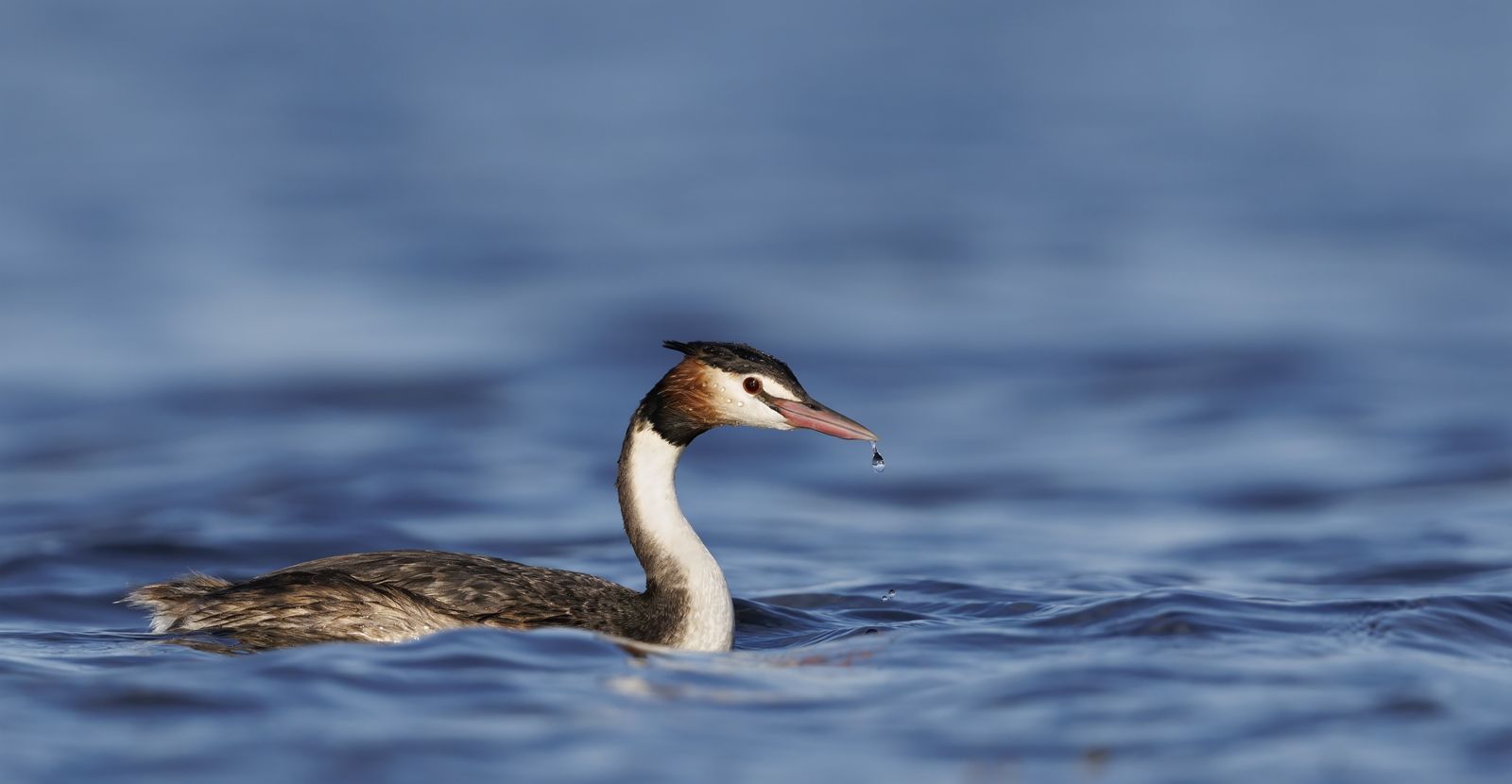 © patrickkavanagh
The spot
Community-maintained
Community contribution: submitted by Daniel
Know before you go
Logged by the community, confirmed by mods
Moderate risk: Fishing Line Entanglement
Fishing line often left in the water at shore-entry points; a dive knife and line cutter are essential.
Low risk: Poor Visibility at Depth
Visibility can be poor and light drops off quickly; a dive light is recommended for deeper excursions.
Low risk: Sharp Depth Drop-Off
The lake bottom drops sharply from the weedy shoreline into deep water, requiring good buoyancy control.
Low risk: Cold Water
Victorian freshwater lake with cold temperatures year-round, particularly at depth.
Low risk: Altitude Correction Consideration
Lake is 145 m above sea level; deep dives (below 44 m) may require altitude decompression adjustments.
Wildlife Guide
No wildlife notes for this spot yet.
Gallery
3 photos from the community
Getting in
Shore entry
Entry
Located approximately 15 km south-east of Camperdown, Victoria. From Camperdown, take the Princetown Road then turn onto Purrumbete East Road to reach the lake. Shore access is down a rock wall at the southern end near the holiday park.
Parking & facilities
Day parking available at Lake Purrumbete Holiday Park (540 Purrumbete East Road, Koallah VIC 3260) and near the boat ramps.
parkingtoiletsboat_rampdrinking_waterpicnic_tablesshowers
Day access to the lake is free. The Lake Purrumbete Holiday Park charges for camping and cabin stays (2-night minimum).
Spot Map
Community
Gallery ┬╖ 3 photos
Trust
Is this spot real, accurate, still loved?
Spots near Victoria

No nearby spots yet.
Needs verification
Quick verify
One tap helps the community keep this spot honest.
About this data
- Conditions last evaluated
- Spot data last updated
- Data sources
- Open-Meteo (marine & weather conditions), tide predictions via UTide, community contributors (descriptions, hazards, marine life).
- License
- Spot content licensed under CC BY-SA 4.0. How's the Spot is open source.
Weather & swell ┬╖ Open-Meteo marine & weather APIs Tides ┬╖ UTide harmonic analysis Sea & safety ┬╖ community reports