Nestled on the northwestern shore of Low Head, Lagoon Beach is a sheltered, west-facing sandy beach that gently shelves into calm, shallow waters — ideal for family snorkeling and beginner exploration. Located near the mouth of the Tamar River, this mellow shoreline sits within a picturesque conservation setting with views across the water. The shallow sand-and-rock flats extend 100–200 m off the beach, revealing rocky reef edges where you can spot marine life. BBQ and playground facilities make it a popular summer destination.
Lagoon Beach (Low Head)
BeginnerGO
GO
It's a go.
Showing last known conditions
Wave Height 0.5 mSwell Period 5.0 sWind Speed 0.8 knPrecipitation 14 mmTidal Phase flood
Last evaluated
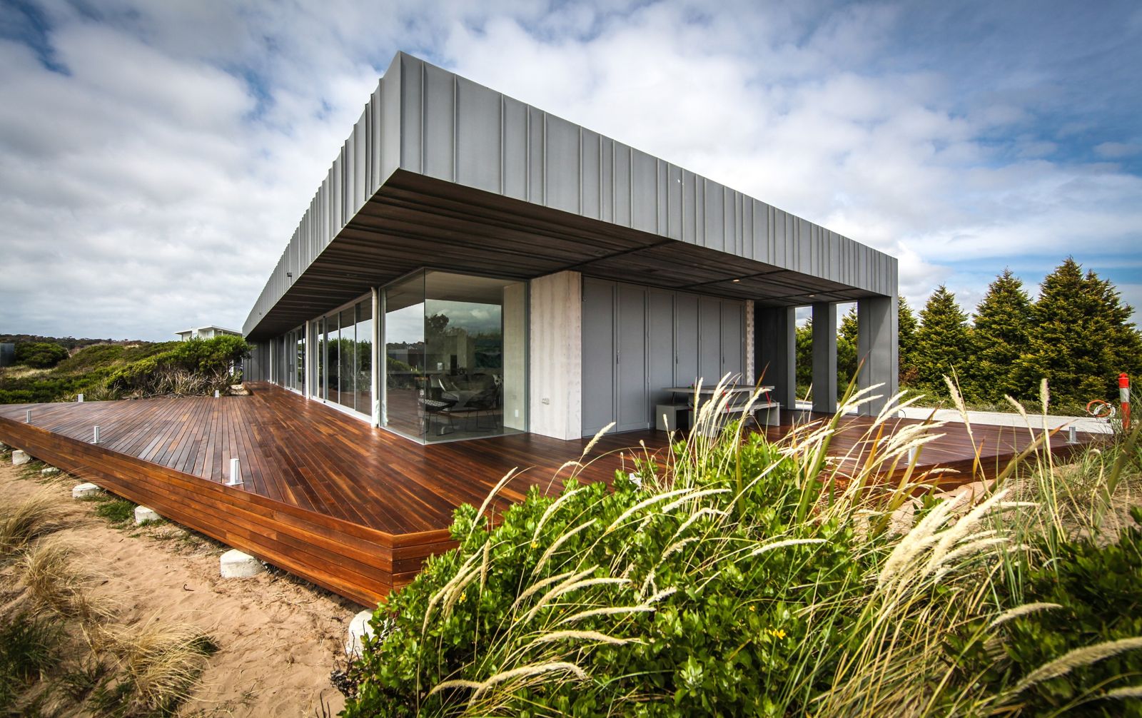 © CBG Architects PL
The spot
Community-maintained
Community contribution: submitted by Daniel
Know before you go
Logged by the community, confirmed by mods
Low risk: Outgoing tide current
As the beach sits near the mouth of the Tamar River, outgoing tides can create a gentle current running parallel to shore.
Low risk: Shallow rock flats
Sand and rock flats extend up to 200 m offshore at low tide, with exposed rocks that can cause cuts or stubbed toes.
Wildlife Guide
No wildlife notes for this spot yet.
Gallery
2 photos from the community
Getting in
Shore entry
Entry
From George Town, head north on Low Head Rd for about 5 km. Turn left onto Lagoon Beach Rd / E Beach Rd. The beach and carpark are located at the end of the road. Accessible from Launceston via the East Tamar Highway (A8) in about 45 minutes.
Parking & facilities
Car park available on-site at Lagoon Beach, with accessible parking spots.
parkingtoiletspicnic_tablesdrinking_watershowers
Free entry, no fees required.
Spot Map
Community
Gallery ┬╖ 2 photos
Trust
Is this spot real, accurate, still loved?
Spots near Tasmania

No nearby spots yet.
Needs verification
Quick verify
One tap helps the community keep this spot honest.
About this data
- Conditions last evaluated
- Spot data last updated
- Data sources
- Open-Meteo (marine & weather conditions), tide predictions via UTide, community contributors (descriptions, hazards, marine life).
- License
- Spot content licensed under CC BY-SA 4.0. How's the Spot is open source.
Weather & swell ┬╖ Open-Meteo marine & weather APIs Tides ┬╖ UTide harmonic analysis Sea & safety ┬╖ community reports