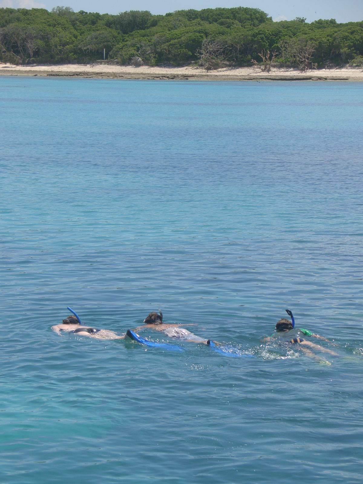
Lady Musgrave Island sits 52 nautical miles off Bundaberg within the Southern Great Barrier Reef, a 45-acre coral cay surrounded by a 3,000-acre navigable lagoon. The lagoon's sheltered, crystal-clear waters are a rare find — protected from ocean swell by the encircling reef, they offer consistently calm conditions ideal for snorkelling. Swim among colourful coral gardens, giant clams, and bustling cleaning stations where green and loggerhead turtles pause for a spa-like tidy-up by tiny cleaner wrasse. The 'Aquarium' site, a natural opening in the reef wall, teems with swirling schools of tropical fish and dense hard-coral bommies. Access is via a dedicated eco-pontoon (Lady Musgrave HQ) moored inside the lagoon, providing easy entry and exit for snorkellers of all abilities.
Lady Musgrave Island (Capricornia Cays)
It's a go.
Showing last known conditions
Last evaluated
The spot
Community-maintained
Community contribution: submitted by Daniel
Know before you go
Logged by the community, confirmed by mods
Moderate risk: Outgoing tide current
Strong currents can develop in the lagoon channels during outgoing tides, especially near the reef wall openings.
Moderate risk: Marine stingers
Box jellyfish and Irukandji may be present in warmer months (November to May). Stinger suits are recommended.
Moderate risk: Strong drift current
The Camp Grounds is a drift dive/snorkel site where the current can be strong and unpredictable, sweeping snorkellers along the reef wall.
Moderate risk: Depth exposure
Depths reach up to 18m with potential to drift deeper; not suitable for inexperienced snorkellers or weak swimmers.
Moderate risk: Marine stingers (box jellyfish)
Box jellyfish and Irukandji may be present in warmer months. Wear a stinger suit.
Moderate risk: Tidal currents
Strong currents can sweep across the outer reef bommies, especially during tidal changes. Snorkellers should be strong swimmers and stay close to the boat or guide.
Moderate risk: Marine stingers (jellyfish)
Marine stingers (including box jellyfish and Irukandji) are present in these waters during the warmer months.
Low risk: Boat crossing seasickness risk
The 80-minute boat crossing from Town of 1770 crosses open Coral Sea swell that can be moderate to rough; seasickness is common.
Low risk: Turtle nesting season
Green turtles nest November–March; visitors must not approach or disturb nesting turtles or seabirds on this protected national park cay.
Low risk: Stinger season
Box jellyfish and other marine stingers may be present in warmer months; stinger suits recommended November–May.
Low risk: Sun exposure
Intense tropical sun with reflection off the lagoon's turquoise water. Reef-safe sunscreen, rashie or wetsuit top essential.
Low risk: Sharp coral
Shallow reef areas have sharp coral formations that can cause cuts; avoid touching and wear reef shoes.
Low risk: Open ocean crossing
The 90-minute to 2.5-hour boat crossing crosses open ocean with possible 1–1.5 m swells and 10–15 knot winds. Seasickness is common; preventative medication is recommended.
Low risk: Tidal currents at lagoon entrance
The lagoon entrance is narrow, and tidal currents can be strong during ebb and flood flows. Snorkellers should stay within the protected lagoon.
Low risk: Strong Midday Sun
Limited shade on the pontoon and lagoon; sunburn and heat exhaustion risk without reef-safe sunscreen and a hat.
Low risk: Coral Cuts
Sharp coral heads in shallow areas of the lagoon can cause cuts and scrapes if swimmers stand or bump into them.
Low risk: Boat traffic
Access is by boat only and the site lies on the outer reef wall, requiring careful surface awareness and boat pickup coordination.
Low risk: Strong tidal currents at reef passages
Tidal flow through the lagoon entrance and around the reef edge can be strong. Snorkel with a guided group.
Low risk: Coral cuts and scrapes
Sharp coral formations close to the surface. Avoid touching coral and wear protective footwear.
Low risk: Boat transfer seasickness
Open ocean conditions during the 2+ hour boat transfer can be rough, causing seasickness for susceptible passengers.
Low risk: Exposed reef swell
The site is an exposed outer reef feature with no land shelter. Swell and wind can pick up suddenly, making conditions challenging.
Low risk: Boat traffic in lagoon channel
Vessels enter and exit the lagoon channel; snorkelers must stay within marked swimming areas away from boat traffic.
Low risk: Seasickness on boat transfer
The open-ocean crossing from the mainland can be rough; sea sickness is common on the 90-minute to 2.5-hour boat transfer.
Low risk: Seasickness on boat transit
Open ocean crossing of ~2 hours can cause seasickness on the boat ride out. Prevailing winds and swell affect conditions.
Wildlife Guide
No wildlife notes for this spot yet.
Gallery
6 photos from the community
Getting in
Day-trip operators depart from Town of 1770 marina, ~130 km north of Bundaberg (80-min boat crossing). Most packages include coach pickup from Bundaberg accommodation at ~5:30 AM.
Parking available at Town of 1770 marina. Bundaberg accommodation pickup included in most tour packages.
Day trips $180-$250/person incl. snorkel gear, glass-bottom boat tour & lunch. National park permit via tour operator.
Spot Map
Community
Trust
Is this spot real, accurate, still loved?
Spots near Queensland

No nearby spots yet.
Quick verify
One tap helps the community keep this spot honest.
About this data
- Conditions last evaluated
- Spot data last updated
- Data sources
- Open-Meteo (marine & weather conditions), tide predictions via UTide, community contributors (descriptions, hazards, marine life).
- License
- Spot content licensed under CC BY-SA 4.0. How's the Spot is open source.