Manta Ray Bommie, also known as the Lighthouse Bommies, is a celebrated snorkel and dive site on the western side of Lady Elliot Island at the southern tip of the Great Barrier Reef. A cluster of coral bommies sitting in 14 metres of crystal-clear water, this site is a world-famous manta ray cleaning station where reef manta rays (Mobula alfredi) glide in to be serviced by cleaner wrasse. Nutrient-rich upwellings from the nearby Capricorn Eddy fuel abundant plankton, drawing mantas year-round with peak concentrations between May and September. Green turtles, cowtail rays, shovel-nosed sharks, trevally, and clouds of glassfish animate the bommies, while visibility often exceeds 20 metres. Snorkellers can join guided boat-based safaris to hover above the bommies and watch the gentle giants perform dramatic aerial swoops and barrel rolls just metres away.
Lady Elliot Island - Manta Ray Bommie
It's a go.
Showing last known conditions
Last evaluated
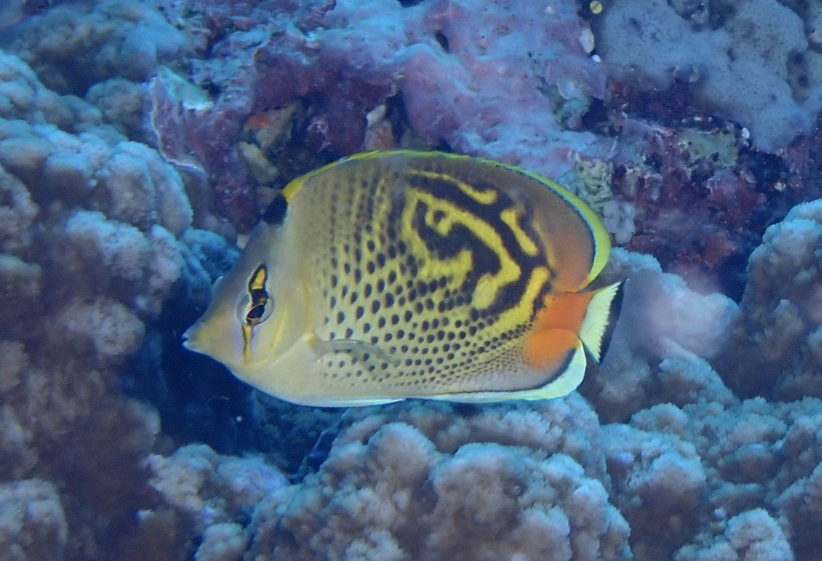 © jeyre
The spot
Community-maintained
Community contribution: submitted by Daniel
Know before you go
Logged by the community, confirmed by mods
Moderate risk: Marine stingers (jellyfish)
Stinger season in tropical Queensland waters, with box jellyfish and Irukandji present. Stinger suits are recommended during these months.
Moderate risk: Depth (14-19m)
The site is at 14-19m depth, beyond the comfortable range for casual snorkelers. Only experienced snorkelers who can freedive or divers should attempt this site.
Moderate risk: Strong currents
Ocean currents around the cay can be strong, especially outside the protected lagoon area.
Moderate risk: Strong tidal currents
Tidal flows around the coral cay can create strong currents, especially at the island's northern and southern points. Snorkel within marked trails and heed tide times.
Moderate risk: Marine stingers (box jellyfish)
Box jellyfish and other marine stingers may be present in warmer months (November to May). Wear a stinger suit provided by the resort.
Moderate risk: Outgoing tide current (Western Reef)
Strong currents can develop on the western reef side during outgoing tides, making drift snorkeling challenging for inexperienced swimmers.
Moderate risk: Marine stingers (seasonal)
Box jellyfish and other marine stingers may be present in warmer months. Stinger suits are recommended from November to May.
Moderate risk: Surge action at The Blowhole
Water funnels through the rocky blowhole channel creating turbulent, churning conditions that can disorient snorkelers and cause impact with coral.
Low risk: Tidal currents
The site is on the western side and can experience moderate to strong tidal currents, especially during changing tides. Dives are often conducted as drifts.
Low risk: Marine stingers
Marine stingers (box jellyfish) may be present in the warmer months (October to May). Stinger suits are recommended.
Low risk: Boat traffic
The site is at 18 m depth with a sandy bottom; boat traffic in the area requires surface awareness during ascents.
Low risk: Turbulent water at the Blowhole
The blowhole and rocky gutters create turbulent water conditions, especially at higher tides.
Low risk: Deep water over bommie (14 m)
Marine Bommie sits at 14 m depth. Snorkellers must be comfortable in deeper water and capable of freediving or surface snorkelling over a submerged reef structure.
Low risk: Marine wildlife encounters (manta rays, reef sharks)
Lady Elliot Island is a known aggregation site for manta rays and also hosts resident reef sharks. Though generally harmless, snorkellers should maintain respectful distance.
Low risk: Tide-dependent access (low tide closure)
The lagoon is only deep enough for snorkeling a few hours either side of high tide. At low tide it becomes too shallow to swim and coral may be exposed.
Low risk: Sharp coral — reef shoes recommended
The lagoon is accessible only via marked entry points. Entering outside these areas may involve walking over sharp coral rubble.
Low risk: Sun exposure
The sun on the shallow lagoon can be intense, with high UV exposure and reflection off the sandy bottom.
Low risk: Wind chop and swell
East Australian Current upwelling and wind can create choppy surface conditions, particularly in winter (May-September).
Low risk: Boat access only
The site is accessed by boat only — no shore entry. Snorkellers must be comfortable entering and exiting from a vessel in open water.
Low risk: Marine life interaction
Manta rays and other marine life are wild animals; close encounters require calm, non-touching behaviour to avoid startling or injuring them.
Low risk: Manta Ray Season - Crowded Waters
Manta ray season (May–August) brings larger marine life that, while non-aggressive, can startle inexperienced snorkelers if approached too closely.
Low risk: Reef shark presence
Blacktip, whitetip, and grey reef sharks are present in the shallows, especially during summer. While generally harmless to humans, their presence requires calm, respectful behaviour.
Low risk: Tidal lagoon access
The main lagoon snorkeling area is only accessible 2 hours either side of high tide, limiting entry windows.
Low risk: Sharp coral
Shallow coral formations can cause cuts and abrasions; reef shoes are recommended.
Low risk: Coral cuts and abrasions
Sharp coral formations in shallow areas can cause cuts. Avoid touching coral and wear protective footwear or fins at all times.
Low risk: Changing weather conditions
Southeasterly trade winds can pick up suddenly, creating choppy surface conditions. Snorkelling may be restricted during poor weather.
Low risk: Coral reef sharp edges
The fringing reef is shallow and live coral is fragile; contact can cause cuts and damage the ecosystem. Enter only via designated sandy channels.
Low risk: Coral cuts and scrapes
Sharp coral formations near the reef edge and in shallow areas can cause injury. Wear reef shoes and avoid touching coral.
Low risk: Strong currents & tidal flows
Tidal currents can strengthen around the cay, especially at changing tides. Stick to marked snorkel trails and heed local advice.
Low risk: Coral cuts & scrapes
Shallow reef areas have sharp coral. Wear reef shoes or fins and avoid touching the coral.
Low risk: Shallow coral and reef shoes required
Entry/exit at Coral Gardens and Lighthouse Keyway requires walking across sharp coral rubble. Reef shoes are mandatory to prevent cuts.
Low risk: Tide-dependent lagoon access
The eastern lagoon is only snorkelable at certain tides; check signage near the education centre or dive shop for opening times.
Low risk: Remote location — limited medical facilities
The island is a remote coral cay accessible only by air. Emergency medical evacuation may be delayed.
Low risk: Depth variation
Second Reef ranges from 2 to 12 metres. Deeper sections may surprise less experienced snorkelers who venture beyond the shallow inner reef.
Wildlife Guide
No wildlife notes for this spot yet.
Gallery
2 photos from the community
Getting in
Lady Elliot Island is a coral cay accessible only by scenic flight from Bundaberg, Hervey Bay, or Brisbane, or by boat charter. Manta Ray Bommie (the Lighthouse Bommies area) is reached via a 5-10 minute boat ride from the island's jetty. The island operates a dive shop with daily morning and afternoon boat trips.
No vehicle parking on the island. Parking is available at the departure airports (Bundaberg, Hervey Bay) for long-term stays.
Access to the island requires either day-tour or resort accommodation bookings. Scenic flights from Bundaberg start from around $545/adult. Snorkel safari tours are available for an additional fee.
Spot Map
Community
Trust
Is this spot real, accurate, still loved?
Spots near Queensland

No nearby spots yet.
Quick verify
One tap helps the community keep this spot honest.
About this data
- Conditions last evaluated
- Spot data last updated
- Data sources
- Open-Meteo (marine & weather conditions), tide predictions via UTide, community contributors (descriptions, hazards, marine life).
- License
- Spot content licensed under CC BY-SA 4.0. How's the Spot is open source.