Lady Bay curves along the southern edge of Warrnambool, a sheltered coastal inlet framed by volcanic headlands on Victoria's Shipwreck Coast. The bay's protected waters and sandy seafloor dotted with limestone reefs create a calm snorkeling environment ideal for spotting schools of fish near the shoreline. The area sits within the traditional lands of the Gunditjmara people and is best explored on calm days when the Southern Ocean swell subsides.
Lady Bay
BeginnerSKIP
SKIP
Poor conditions. Stay out today.
Showing last known conditions
Wave Height 1.5 mSwell Period 10 sWind Speed 12 knPrecipitation 29 mmTidal Phase slack
Last evaluated
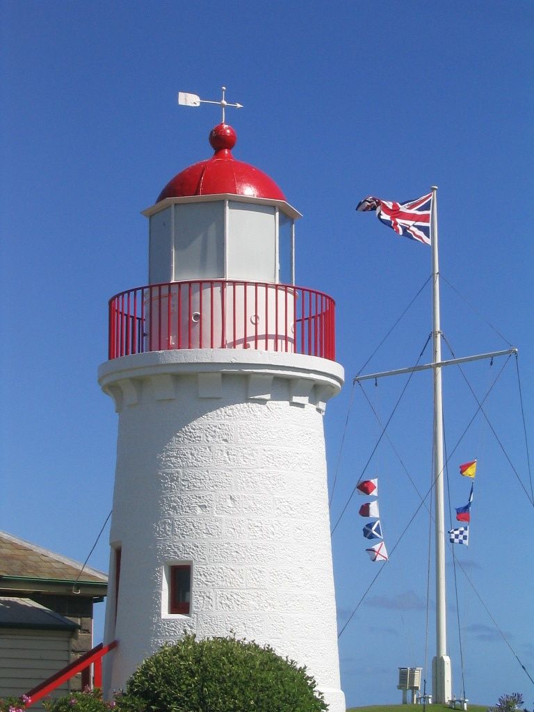 © geowombats
The spot
Community-maintained
Community contribution: submitted by Daniel
Know before you go
Logged by the community, confirmed by mods
Moderate risk: Southern Ocean Swell
Large swells from the Southern Ocean can roll into the bay, producing sudden surges and strong shore breaks, especially during winter and spring.
Low risk: Cold Water Temperatures
Water temperatures range from 11-15°C year-round, posing a risk of cold-water shock and hypothermia without adequate wetsuit protection.
Wildlife Guide
No wildlife notes for this spot yet.
Gallery
2 photos from the community
Getting in
Shore entry
Entry
From Warrnambool city centre, head south across the Merri River bridge toward the foreshore. Lady Bay runs along the coast between the Warrnambool Breakwater and the mouth of the Merri River, accessible via Merri Street and the foreshore promenade.
Parking & facilities
Street parking available along Merri Street and the foreshore area, plus a public car park adjacent to Warrnambool Beach near the Surf Life Saving Club.
toiletsparkingshowerspicnic_tables
No fees required
Spot Map
Community
Gallery ┬╖ 2 photos
Trust
Is this spot real, accurate, still loved?
Spots near Victoria

No nearby spots yet.
Needs verification
Quick verify
One tap helps the community keep this spot honest.
About this data
- Conditions last evaluated
- Spot data last updated
- Data sources
- Open-Meteo (marine & weather conditions), tide predictions via UTide, community contributors (descriptions, hazards, marine life).
- License
- Spot content licensed under CC BY-SA 4.0. How's the Spot is open source.
Weather & swell ┬╖ Open-Meteo marine & weather APIs Tides ┬╖ UTide harmonic analysis Sea & safety ┬╖ community reports