Lacepede Bay is a sweeping, shallow coastal embayment on South Australia's remote Coorong coast, roughly midway between Kingston SE and Robe. Named after the French naturalist Bernard-Germain de Lacépède, the bay's gently shelving sandy bottom and sheltered waters make it a peaceful spot for a paddle and a snorkel. Seagrass meadows carpet the shallows, providing habitat for pipefish, crabs, and small rays. The bay is exposed to onshore winds, so calm days with light northerlies offer the best visibility and safest conditions.
Lacepede Bay
BeginnerSKIP
SKIP
Poor conditions. Stay out today.
Showing last known conditions
Wave Height 1.4 mSwell Period 9.7 sWind Speed 9.6 knPrecipitation 15 mmTidal Phase slack
Last evaluated
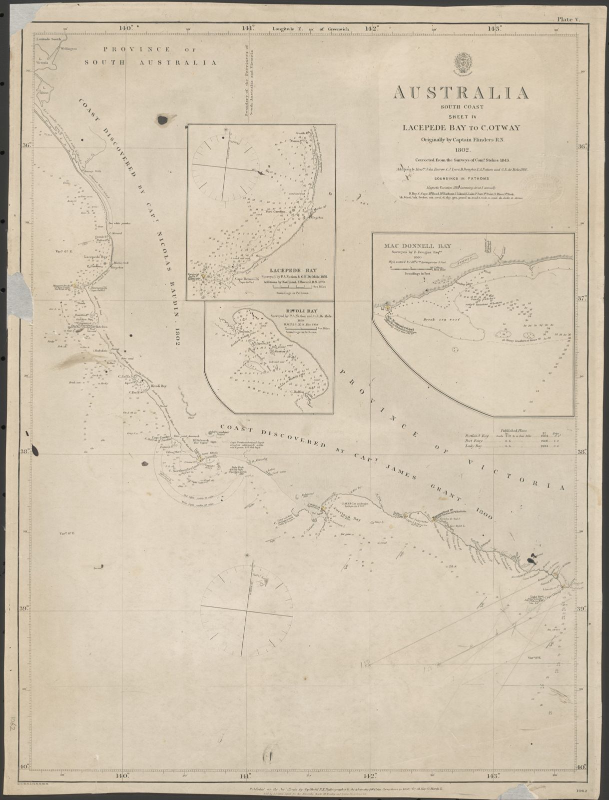 © Capt. Hurd, Hydrographer
The spot
Community-maintained
Community contribution: submitted by Daniel
Know before you go
Logged by the community, confirmed by mods
Low risk: Onshore wind swells
Southerly winds can whip up choppy surf and reduce visibility in the shallow bay. Snorkel on calm, northerly wind days.
Low risk: Strong afternoon sea breezes
Summer sea breezes pick up in the afternoon, creating choppy surface conditions and making shore exits more tiring.
Wildlife Guide
No wildlife notes for this spot yet.
Gallery
1 photo from the community
Getting in
Shore entry
Entry
Lacepede Bay spans the coast between Kingston SE and Robe. The most straightforward access is via Beachport or Kingston SE, then taking a 4WD-accessible beach track (check local conditions). Alternatively, access from Cape Jaffa or the Canunda National Park area. Always check road access with the local council or national park office before setting out.
Parking & facilities
Limited roadside or beachside parking on 4WD-access tracks. No formal carpark. A 4WD vehicle is recommended for beach access.
No fees for beach access, but some access points within national parks may require a park entry fee.
Spot Map
Community
Gallery ┬╖ 1 photos
Trust
Is this spot real, accurate, still loved?
Spots near South Australia

No nearby spots yet.
Needs verification
Quick verify
One tap helps the community keep this spot honest.
About this data
- Conditions last evaluated
- Spot data last updated
- Data sources
- Open-Meteo (marine & weather conditions), tide predictions via UTide, community contributors (descriptions, hazards, marine life).
- License
- Spot content licensed under CC BY-SA 4.0. How's the Spot is open source.
Weather & swell ┬╖ Open-Meteo marine & weather APIs Tides ┬╖ UTide harmonic analysis Sea & safety ┬╖ community reports