Kennett River Beach sits where the Kennett River meets the sea, a 200-metre east-facing pocket of sand tucked between the lush Otway rainforest and the Great Ocean Road. The river mouth creates a calm, shallow basin ideal for entering the water, while deeper reef patches just offshore offer clear views of temperate marine life. Fringed by tea-tree and towering eucalypts where koalas laze overhead, it is one of the Otway coast's most serene wild beaches — part of the Great Otway National Park shoreline.
Kennett River
IntermediateMAYBE
MAYBE
Fair. Experienced snorkellers only.
Showing last known conditions
Wave Height 0.1 mSwell Period 10 sWind Speed 18 knPrecipitation 55 mmTidal Phase flood
Last evaluated
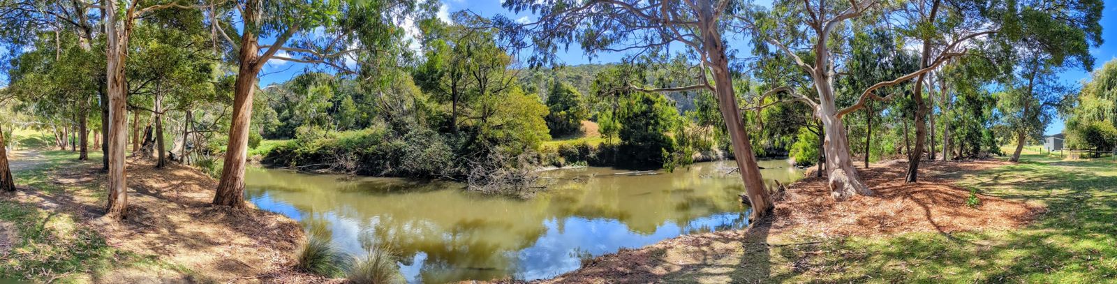 © Dicklyon
DANGER: Explicit Risks Present
Kennett River has hazards marked as danger. Entering the water here means you may face serious risks to your personal safety.
- Flash flooding risk danger
The Kennett River valley is prone to flash flooding during severe storms, making river crossings and beach access dangerous.
The spot
Community-maintained
Community contribution: submitted by Daniel
Know before you go
Logged by the community, confirmed by mods
High risk: Flash flooding risk
The Kennett River valley is prone to flash flooding during severe storms, making river crossings and beach access dangerous.
Moderate risk: Rip currents at river mouth
The outflow from Kennett River can create strong rip currents near the river channel, especially after rain or high river flow.
Low risk: Unpatrolled beach conditions
No lifeguards on duty except during peak summer holiday periods. The beach can become choppy with sudden swell changes.
Wildlife Guide
No wildlife notes for this spot yet.
Gallery
3 photos from the community
Getting in
Shore entry
Entry
Located 170 km southwest of Melbourne on the Great Ocean Road, 35 minutes from Lorne and 5 minutes from Wye River. Turn off the Great Ocean Road at the signed Kennett River village entrance.
Parking & facilities
Informal gravel and grass parking areas north of the river mouth, plus limited roadside parking along the Great Ocean Road. A large gravel lot is available on the northern side of the river.
toiletsparkingpicnic_tables
Free access. Kennett River Family Caravan Park nearby for accommodation.
Spot Map
Community
Gallery ┬╖ 3 photos
Trust
Is this spot real, accurate, still loved?
Spots near Victoria

No nearby spots yet.
Needs verification
Quick verify
One tap helps the community keep this spot honest.
About this data
- Conditions last evaluated
- Spot data last updated
- Data sources
- Open-Meteo (marine & weather conditions), tide predictions via UTide, community contributors (descriptions, hazards, marine life).
- License
- Spot content licensed under CC BY-SA 4.0. How's the Spot is open source.
Weather & swell ┬╖ Open-Meteo marine & weather APIs Tides ┬╖ UTide harmonic analysis Sea & safety ┬╖ community reports