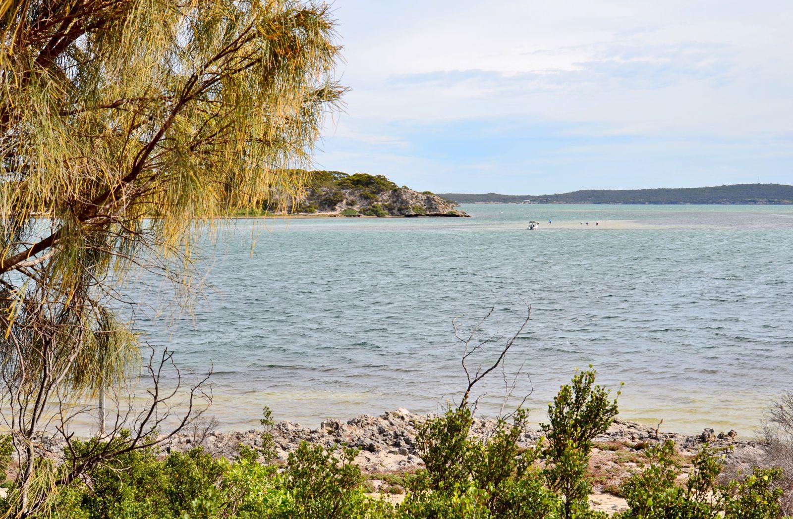
Kellidie Bay is a sheltered, shallow bay on the western side of the Eyre Peninsula, within Coffin Bay National Park near Kellidie Bay Conservation Park. Its calm, protected waters are framed by seagrass meadows and sandy flats, offering a peaceful snorkeling environment away from the swell. The bay's proximity to the Coffin Bay system means excellent water clarity in calm conditions, making it a quiet alternative to more crowded spots — ideal for spotting rays, flathead, and the occasional leafy seadragon drifting through the seagrass.
Kellidie Bay
BeginnerSKIP
SKIP
Poor conditions. Stay out today.
Showing last known conditions
Wave Height 2.1 mSwell Period 11 sWind Speed 5.4 knPrecipitation 4.8 mmTidal Phase slack
Last evaluated
The spot
Community-maintained
Community contribution: submitted by Daniel
Know before you go
Logged by the community, confirmed by mods
Low risk: Marine Park Regulations
Part of the West Coast Bays Marine Park — fishing restrictions and protected area rules apply.
Low risk: Variable Water Clarity
Wind and tide can stir up sediment in the shallow bay, reducing visibility.
Low risk: Remote Access
Limited facilities and no drinking water in the park — bring your own supplies.
Wildlife Guide
No wildlife notes for this spot yet.
Gallery
2 photos from the community
Getting in
Shore entry
Entry
Kellidie Bay is located about 50 km west of Port Lincoln on the Eyre Peninsula. From Port Lincoln, take the Flinders Highway north then turn onto Coffin Bay Road heading west. The bay lies within the Coffin Bay National Park precinct. Access is via unsealed roads suitable for 2WD in dry conditions; 4WD recommended after rain.
Parking & facilities
Limited roadside parking near the bay shoreline. No dedicated accessible parking bays.
toilets
Entry fee applies for Coffin Bay National Park (approx. $13.90 per vehicle). Camping fees apply at nearby campgrounds.
Spot Map
Community
Gallery ┬╖ 2 photos
Trust
Is this spot real, accurate, still loved?
Spots near South Australia

No nearby spots yet.
Needs verification
Quick verify
One tap helps the community keep this spot honest.
About this data
- Conditions last evaluated
- Spot data last updated
- Data sources
- Open-Meteo (marine & weather conditions), tide predictions via UTide, community contributors (descriptions, hazards, marine life).
- License
- Spot content licensed under CC BY-SA 4.0. How's the Spot is open source.
Weather & swell ┬╖ Open-Meteo marine & weather APIs Tides ┬╖ UTide harmonic analysis Sea & safety ┬╖ community reports