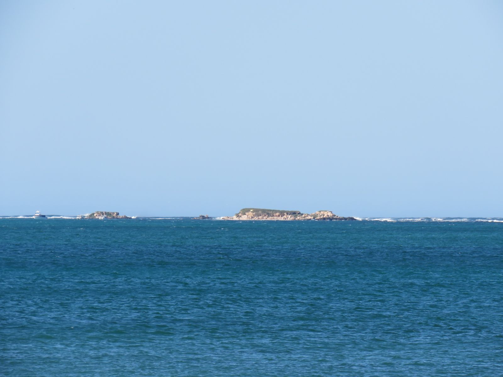
Jurien Bay Marine Park protects a stunning stretch of Western Australia's Turquoise Coast, where an extensive limestone reef system runs parallel to shore creating vast, shallow, crystal-clear lagoons. This extraordinary underwater landscape features seagrass meadows, reef bommies, caves, grottos, and an artificial reef snorkel trail (currently sand-covered). The park is the only major breeding area for Australian sea lions along WA's western coast, and its sheltered, nutrient-rich waters teem with juvenile fish, western rock lobsters, octopus, and cuttlefish. Popular entry points include Jurien Bay Town Beach and Boullanger Island, with depths ranging from 1–8 metres inside the lagoon — ideal for snorkellers of all levels.
Jurien Bay Marine Park (general snorkeling/diving)
BeginnerSKIP
SKIP
Poor conditions. Stay out today.
Showing last known conditions
Wave Height 2.0 mSwell Period 11 sWind Speed 2.6 knPrecipitation 2.5 mmTidal Phase ebb
Last evaluated
 © Calistemon
The spot
Community-maintained
Community contribution: submitted by Daniel
Know before you go
Logged by the community, confirmed by mods
Low risk: Boat traffic near boat ramp and jetties
The marine park is a popular boating and fishing area. Snorkellers should stay vigilant near boat launch areas, marinas, and marked channels, especially during summer holidays and Easter.
Low risk: Sand-covered snorkel trail markers
The Jurien Bay Underwater Interpretive Snorkel and Dive Trail markers are now covered with sand, making navigation of the artificial reef section difficult without local knowledge.
Low risk: Variable visibility and swell
Southerly sea breezes can chop up the surface and reduce visibility in the shallow lagoon. Afternoon winds are common, especially in summer, making morning snorkelling preferable.
Low risk: Marine park zones and fishing restrictions
Spearfishing, crabbing, rock lobster fishing, and netting are restricted in some sanctuary zones. Snorkellers should be aware of zone boundaries to avoid entering active fishing areas.
Low risk: Boat traffic near boat ramp and marina
Active boat launching area can get crowded during summer holidays and Easter break; snorkellers should stay aware of vessels.
Low risk: Shifting sand on snorkel trail
The Jurien Bay Underwater Interpretive Snorkel and Dive Trail has been periodically covered with sand, reducing visibility and accessibility.
Low risk: Strong sea breezes and afternoon chop
Afternoon sea breezes can roughen surface conditions, making swimming and snorkelling more challenging, especially for beginners.
Low risk: Marine park zoning restrictions
Certain sanctuary zones have restrictions on spearfishing, crabbing, rock lobster fishing, and netting; snorkellers must know the zones.
Low risk: Sand coverage over reef balls
Shifting sands have partially buried the artificial reef structures; some trail markers/buoys may have limited underwater visibility of the reef balls
Low risk: Boat traffic near jetty
The trail is adjacent to the fishing jetty and marina zone; boat traffic can be present, especially during summer holidays and Easter
Low risk: Variable visibility
Coastal conditions can reduce water clarity, particularly after wind or swell events
Wildlife Guide
No wildlife notes for this spot yet.
Gallery
7 photos from the community
Getting in
Shore entry
Entry
Jurien Bay is approximately 220 km north of Perth via Indian Ocean Drive. The main beach access is at Jurien Bay Town Beach (end of Roberts Street). Boullanger Island is accessible 1 km offshore from Island Point at the southern end of the bay. The drive from Perth takes roughly 2.5 hours.
Parking & facilities
Free parking is available near Jurien Bay Town Beach along Roberts Street and at the boat ramp precinct. Additional parking is available at Fishermans Drive and the marina area.
toiletsparkingshowerspicnic_tablesboat_ramp
No fees for shore-based snorkelling in Jurien Bay Marine Park. A $5 donation is suggested for Swim Cards (interpretive cards) at local shops for the snorkel trail.
Spot Map
Community
Gallery ┬╖ 7 photos
Trust
Is this spot real, accurate, still loved?
Spots near Western Australia

No nearby spots yet.
Needs verification
Quick verify
One tap helps the community keep this spot honest.
About this data
- Conditions last evaluated
- Spot data last updated
- Data sources
- Open-Meteo (marine & weather conditions), tide predictions via UTide, community contributors (descriptions, hazards, marine life).
- License
- Spot content licensed under CC BY-SA 4.0. How's the Spot is open source.
Weather & swell ┬╖ Open-Meteo marine & weather APIs Tides ┬╖ UTide harmonic analysis Sea & safety ┬╖ community reports