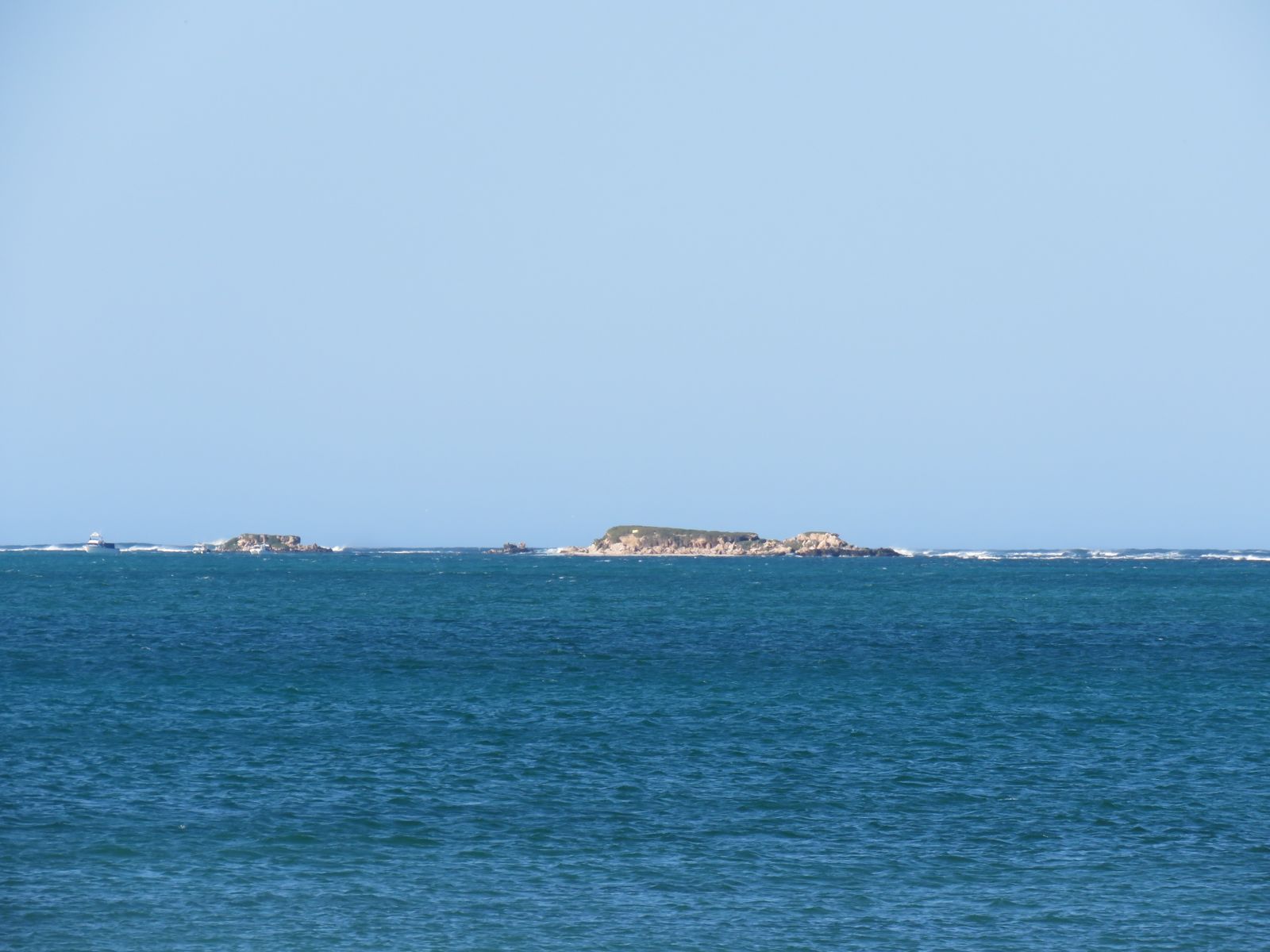
Jurien Bay Marine Park protects 82,375 hectares of Western Australia's turquoise Coral Coast, stretching from Green Head south to Nambung National Park. An extensive limestone reef system parallels the shore, creating shallow, sheltered lagoons with seagrass meadows that teem with juvenile fish, western rock lobsters, octopus, and cuttlefish. The park surrounds dozens of ecologically important islands and is the only major breeding area for Australian sea lions along the west coast. The Jurien Bay Underwater Interpretive Snorkel and Dive Trail (now sand-covered) once featured over 70 reef balls near the old jetty — but the natural reef beyond still offers caves, grottos, colourful sponges and anemones in 2.5–6 m depths.
Jurien Bay Marine Park (general area)
BeginnerSKIP
SKIP
Poor conditions. Stay out today.
Showing last known conditions
Wave Height 2.0 mSwell Period 11 sWind Speed 2.6 knPrecipitation 2.5 mmTidal Phase ebb
Last evaluated
The spot
Community-maintained
Community contribution: submitted by Daniel
Know before you go
Logged by the community, confirmed by mods
Moderate risk: Boat traffic
Jurien Bay has a busy marina, boat ramp and jetty areas with high vessel activity. Snorkelers should be vigilant and stay clear of boat channels.
Moderate risk: Marine park regulations
Strict guidelines apply: maintain distance, do not touch or chase sea lions, never land on occupied islands. Fines apply for non-compliance.
Low risk: Strong sea breezes and chop
Afternoon sea breezes can quickly chop up surface conditions, reducing visibility and making swimming more strenuous outside the sheltered lagoon.
Low risk: Sandy beach vehicle tracks
Several access points require crossing soft sand or driving on beach tracks; some areas need high-clearance 4WD.
Low risk: Marine park zoning restrictions
Spearfishing, crabbing, rock lobster fishing and netting are prohibited or restricted in certain sanctuary zones.
Low risk: Sea lion behaviour
Wild Australian sea lions are large, powerful marine mammals. They are generally playful and curious but can be unpredictable if startled or provoked.
Low risk: Boat traffic near boat ramp and marina
The boat ramp, marina and jetty areas can have heavy boat traffic, especially during summer holidays and Easter. Snorkelers should stay clear of launch channels.
Low risk: Shifting sand coverage (snorkel trail)
The Underwater Interpretive Snorkel Trail near the old jetty has been covered with sand over time, reducing visibility and reef-ball definition.
Low risk: Sea breeze chop on lagoon surface
Afternoon sea breezes can chop up the surface of the lagoon, reducing visibility and making swimming more tiring for inexperienced snorkelers.
Low risk: Marine park fishing zones (restrictions)
Parts of the marine park are sanctuary zones. Snorkelers should be aware of zone boundaries and avoid fishing areas where lines/hooks may be present.
Low risk: Shallow limestone reef
The limestone reef system runs parallel to shore; at low tide it can be shallow and sharp. Snorkelers should watch for unexpected shallow areas and coral cuts.
Low risk: Australian sea lion encounters
Highly protected species — do not approach or disturb. These large marine mammals can be curious but are wild animals.
Wildlife Guide
No wildlife notes for this spot yet.
Gallery
6 photos from the community
Getting in
Shore entry
Entry
Approximately 200 km north of Perth on Indian Ocean Drive. Jurien Bay is the main access town. The snorkel trail starts about 25 m from Jurien Bay Town Beach at the end of the old jetty. Boullanger Island, 1 km offshore from Island Point, is also accessible by boat or kayak.
Parking & facilities
Parking available at Jurien Bay Town Beach car park near the community of shacks, plus day-use parking at campground areas within the marine park.
toiletsparkingpicnic_tablesshowers
No entry fee for the marine park. Camping fees apply at designated sites (~$20/night). Local shops sell swim cards ($5 donation) for the underwater trail.
Spot Map
Community
Gallery ┬╖ 6 photos
Trust
Is this spot real, accurate, still loved?
Spots near Western Australia

No nearby spots yet.
Needs verification
Quick verify
One tap helps the community keep this spot honest.
About this data
- Conditions last evaluated
- Spot data last updated
- Data sources
- Open-Meteo (marine & weather conditions), tide predictions via UTide, community contributors (descriptions, hazards, marine life).
- License
- Spot content licensed under CC BY-SA 4.0. How's the Spot is open source.
Weather & swell ┬╖ Open-Meteo marine & weather APIs Tides ┬╖ UTide harmonic analysis Sea & safety ┬╖ community reports