Julia Percy Island (known traditionally as Deen Maar) is Australia's only offshore volcano and the largest basalt island off western Victoria's Discovery Coast. This wild, windswept island rises dramatically from the Southern Ocean, surrounded by deep reefs, surge channels, and caves carved into ancient lava flows. The waters teem with marine life thanks to the island's isolation and protected status — one of Australia's largest fur seal colonies (over 27,000 Australian fur seals) surrounds the island, while the underwater topography features dramatic drop-offs, overhangs, and the famous 'Blowhole' cave at Thunder Point. Snorkeling here is for experienced adventurers only, requiring calm conditions and boat access.
Julia Percy Island (Discovery Coast)
AdvancedSKIP
SKIP
Poor conditions. Stay out today.
Showing last known conditions
Wave Height 2.5 mSwell Period 11 sWind Speed 2.3 knPrecipitation 32 mmTidal Phase slack
Last evaluated
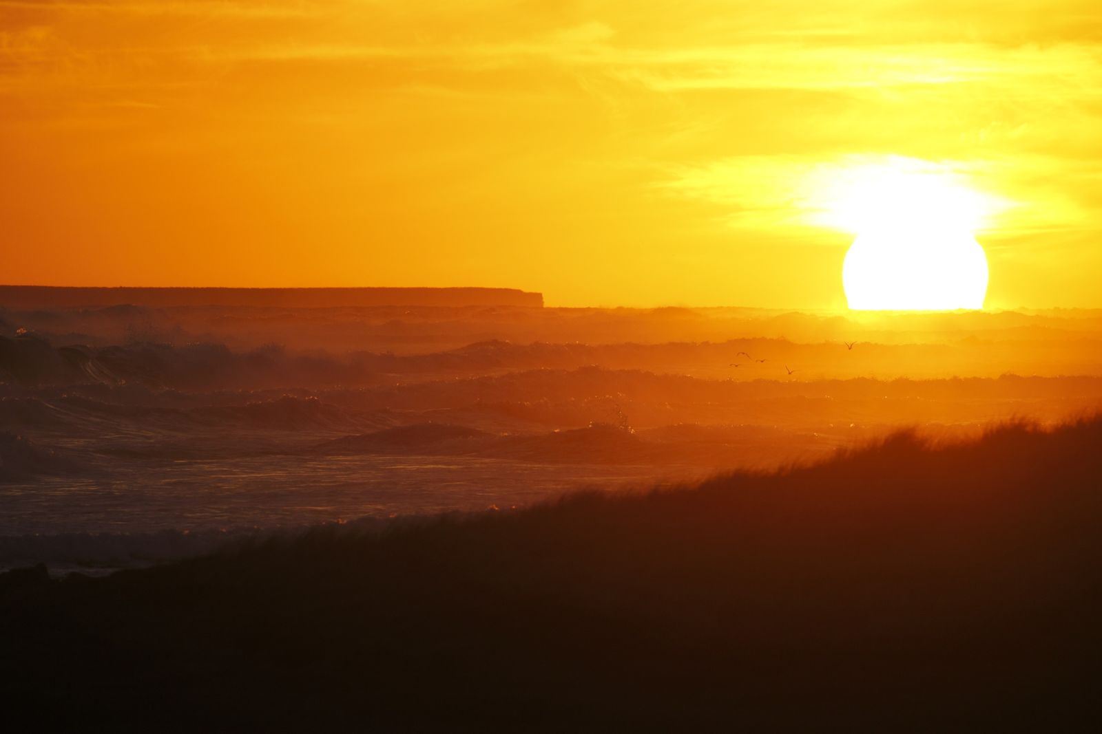 © Ed Dunens
DANGER: Explicit Risks Present
Julia Percy Island (Discovery Coast) has hazards marked as danger. Entering the water here means you may face serious risks to your personal safety.
- Surge and Swell danger
Exposed Southern Ocean location means large swells and powerful surge conditions, especially around the Blowhole cave. Only diveable in flat, calm conditions.
The spot
Community-maintained
Community contribution: submitted by Daniel
Know before you go
Logged by the community, confirmed by mods
High risk: Surge and Swell
Exposed Southern Ocean location means large swells and powerful surge conditions, especially around the Blowhole cave. Only diveable in flat, calm conditions.
Moderate risk: Strong Ocean Currents
Unpredictable currents sweep around the island's basalt cliffs and reef systems. Can change rapidly with tide and weather.
Moderate risk: Remote Location
Island is 19 km offshore with no facilities, shelter, or emergency services. Self-reliance is critical.
Moderate risk: Deep Holes and Irregular Reef
The surrounding reefs at The Crags access point are irregular with deep holes and permanent rips running through gaps in the reef.
Low risk: Cold Water Temperatures
Southern Ocean water temperatures are very cold year-round (10-16°C), requiring thick wetsuits and increasing hypothermia risk on long snorkels.
Wildlife Guide
No wildlife notes for this spot yet.
Gallery
3 photos from the community
Getting in
Boat
Entry
Located approximately 19 km offshore from The Crags, west of Port Fairy on Victoria's Discovery Coast. Access is by private or charter boat only — no ferry service. Charter tours depart from Port Fairy or nearby coastal towns.
Parking & facilities
Parking available at The Crags Coastal Reserve car park (end of The Crags Road, off Princes Highway/A1).
parking
No on-site fees. Charter boat tours cost approximately $100–$200 per person.
Spot Map
Community
Gallery ┬╖ 3 photos
Trust
Is this spot real, accurate, still loved?
Spots near Victoria

No nearby spots yet.
Needs verification
Quick verify
One tap helps the community keep this spot honest.
About this data
- Conditions last evaluated
- Spot data last updated
- Data sources
- Open-Meteo (marine & weather conditions), tide predictions via UTide, community contributors (descriptions, hazards, marine life).
- License
- Spot content licensed under CC BY-SA 4.0. How's the Spot is open source.
Weather & swell ┬╖ Open-Meteo marine & weather APIs Tides ┬╖ UTide harmonic analysis Sea & safety ┬╖ community reports