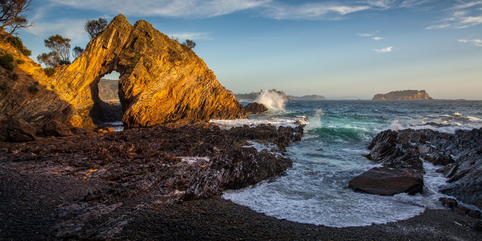
Jimmies Island is a 30-metre-high rugged nature reserve island extending 600 m off the southern headland of Rosedale on the NSW South Coast. This protected spot offers sheltered snorkelling over shallow reefs east and west of nearby Rosedale Beach, with crystal-clear waters in calm conditions. The island is a haven for native plants, birds, and marine life within the Batemans Marine Park. Snorkelers enter from the sandy beach at the southern end, heading around the headland facing the island where the water depth ranges from 5 to 8 metres. The island's dramatic profile and the area's ancient landforms over 500 million years old make this a visually striking and ecologically rich snorkel destination.
Jimmies Island
IntermediateGO
GO
It's a go.
Showing last known conditions
Wave Height 0.5 mSwell Period 6.7 sWind Speed 2.2 knPrecipitation 15 mmTidal Phase flood
Last evaluated
 © Neutraldensity
The spot
Community-maintained
Community contribution: submitted by Daniel
Know before you go
Logged by the community, confirmed by mods
Low risk: Ocean swell exposure
Exposed to ocean swells from easterly winds; only suitable for snorkelling when seas are calm.
Low risk: Rocky entry and exit
Entry requires navigating around a headland with submerged rocks and sharp reef edges.
Low risk: Tidal currents
Tidal currents can develop around the southern headland near the island, especially during outgoing tide.
Wildlife Guide
No wildlife notes for this spot yet.
Gallery
1 photo from the community
Getting in
Shore entry
Entry
Jimmies Island is accessed from Rosedale village on the NSW South Coast, approximately 15 km south of Batemans Bay. From George Bass Drive, turn into Rosedale and head to the southern end of the village at Burri Point Road. There is a carpark near the small beach; the island lies 600 m offshore to the east. A 10-minute walk leads from the access point to the entry area.
Parking & facilities
Formal parking available at the southern end of Rosedale off Burri Point Road. A small carpark near the beach with limited spaces.
No fees required.
Spot Map
Community
Gallery ┬╖ 1 photos
Trust
Is this spot real, accurate, still loved?
Spots near Victoria

No nearby spots yet.
Needs verification
Quick verify
One tap helps the community keep this spot honest.
About this data
- Conditions last evaluated
- Spot data last updated
- Data sources
- Open-Meteo (marine & weather conditions), tide predictions via UTide, community contributors (descriptions, hazards, marine life).
- License
- Spot content licensed under CC BY-SA 4.0. How's the Spot is open source.
Weather & swell ┬╖ Open-Meteo marine & weather APIs Tides ┬╖ UTide harmonic analysis Sea & safety ┬╖ community reports