Inskip Beach lies along the narrow Inskip Peninsula, a sandy finger of land separating the open Pacific from the tranquil Great Sandy Strait. This dynamic shoreline offers sheltered estuarine swimming on the western side and more exposed ocean surf on the eastern flank, with stunning views across to World Heritage-listed K'gari (Fraser Island). The area is renowned for its rich birdlife, with beaches and mudflats hosting thousands of resident and migratory shorebirds, while dugongs, turtles and dolphins are frequently spotted in the bay. The surrounding coastal vegetation of casuarina and cypress pine provides a wild, natural backdrop.
Inskip Beach
IntermediateGO
GO
It's a go.
Showing last known conditions
Wave Height 0.1 mSwell Period 6.6 sWind Speed 0.5 knPrecipitation 0.0 mmTidal Phase flood
Last evaluated
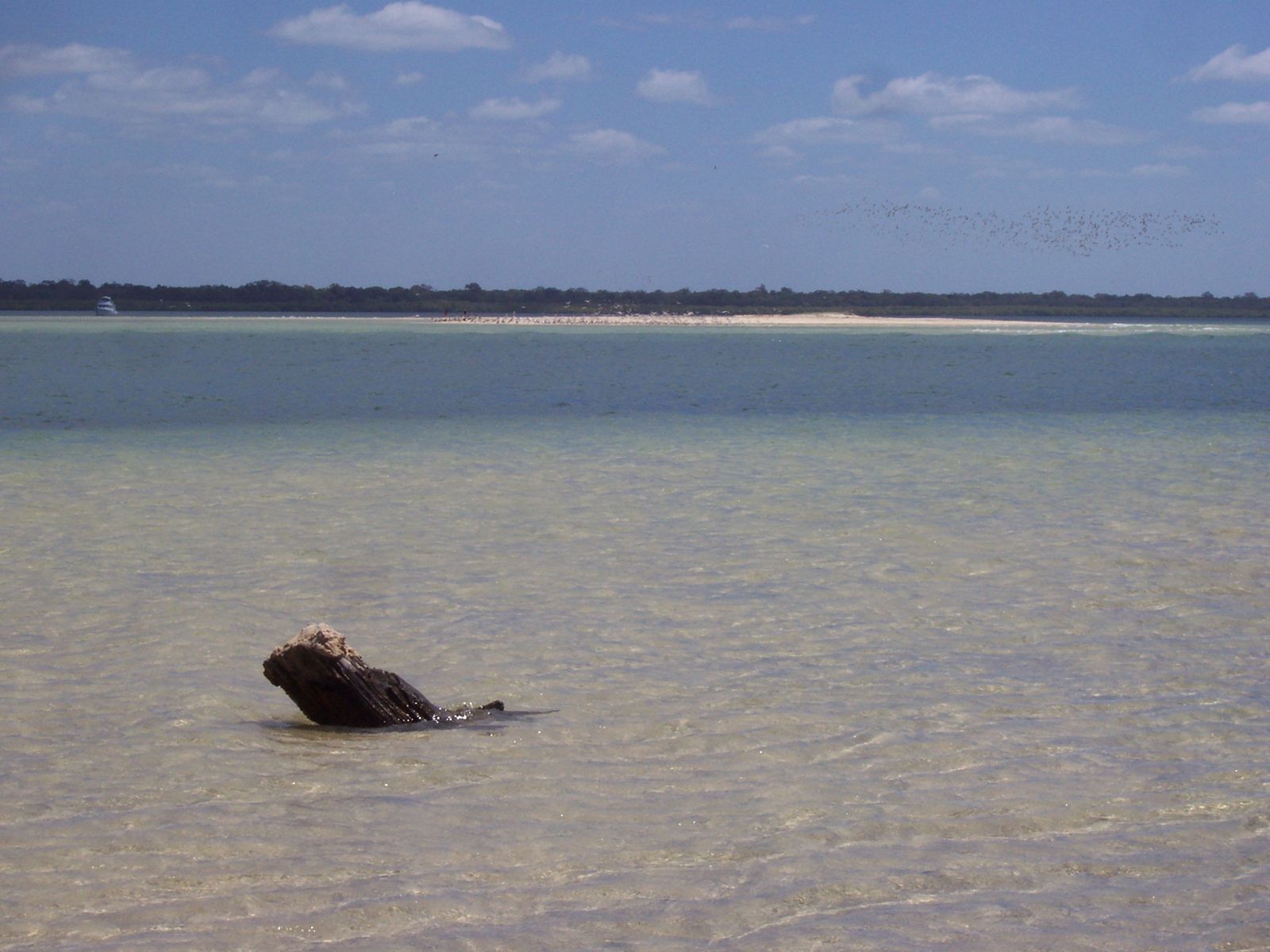
The spot
Community-maintained
Community contribution: submitted by Daniel
Know before you go
Logged by the community, confirmed by mods
Moderate risk: Strong tidal currents in Great Sandy Strait
The channel between the peninsula and K'gari experiences strong tidal flows, especially during outgoing tides, which can sweep swimmers offshore.
Moderate risk: 4WD beach traffic
The beach is used by 4WD vehicles accessing camping areas and the barge to K'gari; swimmers must stay alert for vehicle traffic.
Low risk: Marine stingers (box jellyfish)
Stinging jellyfish may be present in warmer months, particularly November through May.
Low risk: Unpatrolled beach
No lifeguard patrols or flagged swimming areas — swimmers are entirely responsible for their own safety.
Wildlife Guide
No wildlife notes for this spot yet.
Gallery
2 photos from the community
Getting in
Shore entry
Entry
Inskip Beach is accessed via Inskip Point Road, which turns off the Carlo Road roundabout about 3 km north of Rainbow Beach township. Follow the sealed road, which becomes unsealed sand, approximately 9 km to the point. From the Sunshine Coast, head north via the Bruce Highway, then take the Tin Can Bay/Rainbow Beach turn-off.
Parking & facilities
Parking is available at several designated areas along Inskip Point Road and near the camping zones. Some parking for horse floats is available alongside Pacific Boulevard. 4WD is recommended for beach access beyond the main parking areas.
toilets
Camping permits are required for overnight stays (fees apply). Day-use is free.
Spot Map
Community
Gallery ┬╖ 2 photos
Trust
Is this spot real, accurate, still loved?
Spots near Queensland

No nearby spots yet.
Needs verification
Quick verify
One tap helps the community keep this spot honest.
About this data
- Conditions last evaluated
- Spot data last updated
- Data sources
- Open-Meteo (marine & weather conditions), tide predictions via UTide, community contributors (descriptions, hazards, marine life).
- License
- Spot content licensed under CC BY-SA 4.0. How's the Spot is open source.
Weather & swell ┬╖ Open-Meteo marine & weather APIs Tides ┬╖ UTide harmonic analysis Sea & safety ┬╖ community reports