Idol Bay is a sheltered rock-reef snorkeling and dive site located just west of Latitude Rock, off the coast of Forster on the NSW Mid North Coast. This complex underwater garden features interconnected bombora structures, colourful sponge gardens, kelp beds, and sandy gutters to explore. With shallow depths averaging 10 metres, it's accessible at leisure and well protected from current and swell. Expect to encounter blue-spotted stingrays, eagle rays, bull rays, moray eels, nudibranchs, and turtles among the rocky bommies.
Idol Bay
BeginnerMAYBE
MAYBE
Fair. Experienced snorkellers only.
Showing last known conditions
Wave Height 0.8 mSwell Period 8.6 sWind Speed 1.6 knPrecipitation 0.1 mmTidal Phase flood
Last evaluated
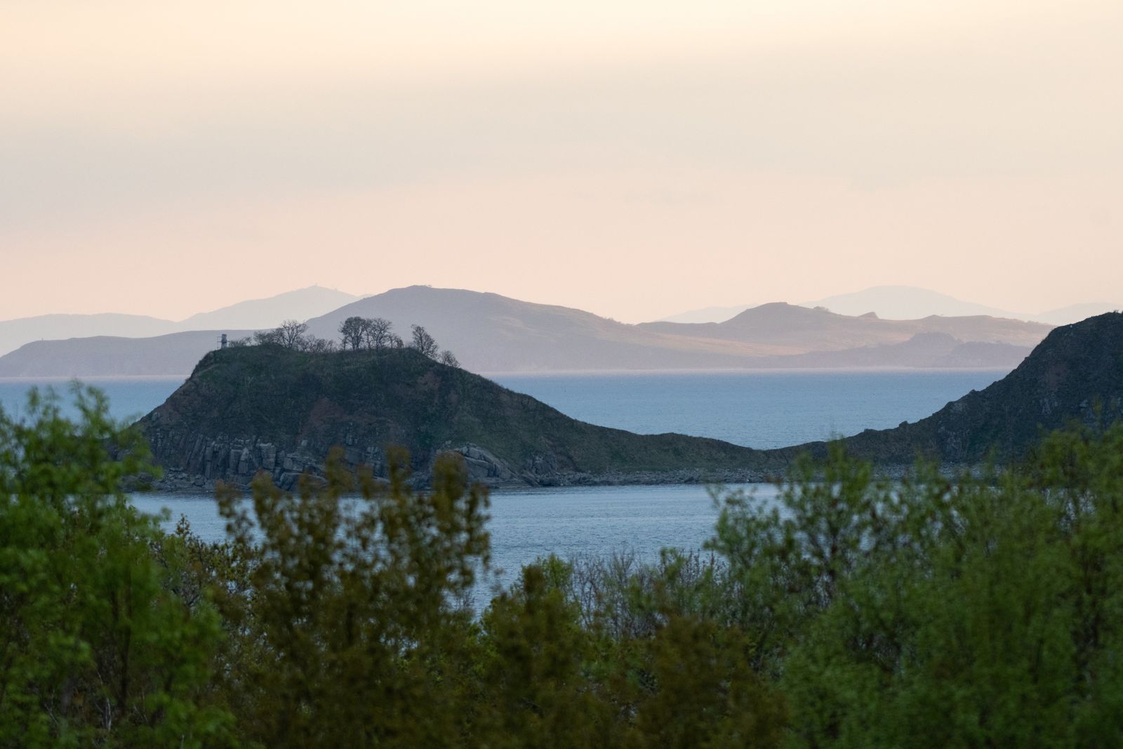 © Горбунова М.С.
The spot
Community-maintained
Community contribution: submitted by Daniel
Know before you go
Logged by the community, confirmed by mods
Moderate risk: Shallow bommies
Shallow bommies (isolated rock pinnacles) can rise close to the surface and may be difficult to spot. Approach carefully by boat.
Low risk: Variable visibility
Visibility can vary from 7 to 25 metres depending on conditions, occasionally reducing orientation and buddy visibility.
Low risk: Cool water temperature
Water temperature ranges from 18°C in winter to 24°C in summer — cold water increases risk of hypothermia on longer sessions.
Wildlife Guide
No wildlife notes for this spot yet.
Gallery
1 photo from the community
Getting in
Boat
Entry
Idol Bay is located just west of Latitude Rock, offshore from Forster, NSW. Access is by private or charter boat from Forster or Tuncurry. Forster Dive Centre (30 Manning Lane, Tuncurry) runs charters to the site.
Parking & facilities
Parking available near the boat ramps at Forster and Tuncurry. Street parking also available along Manning Lane, Tuncurry.
parkingtoiletsboat_ramp
No entry fee. Charter dive/snorkel trips with Forster Dive Centre are fee-based — enquire directly for pricing.
Spot Map
Community
Gallery ┬╖ 1 photos
Trust
Is this spot real, accurate, still loved?
Spots near New South Wales

No nearby spots yet.
Needs verification
Quick verify
One tap helps the community keep this spot honest.
About this data
- Conditions last evaluated
- Spot data last updated
- Data sources
- Open-Meteo (marine & weather conditions), tide predictions via UTide, community contributors (descriptions, hazards, marine life).
- License
- Spot content licensed under CC BY-SA 4.0. How's the Spot is open source.
Weather & swell ┬╖ Open-Meteo marine & weather APIs Tides ┬╖ UTide harmonic analysis Sea & safety ┬╖ community reports