Hungry Head is a patrolled, north-facing beach tucked against a rocky headland on the Coffs Coast, just south of Urunga. Sheltered from the dominant southerly swell, it offers calm, clear inshore waters that are ideal for snorkeling, especially around the headland's rocky reef where schools of bream and friendly blue groper are common. The 2 km stretch of golden sand runs south to a small creek mouth, with dunes and coastal scrub behind. Patrolled by lifeguards from September to April, it's consistently rated the safest swimming and snorkeling beach in the Bellingen Shire.
Hungry Head
BeginnerMAYBE
MAYBE
Fair. Experienced snorkellers only.
Showing last known conditions
Wave Height 0.8 mSwell Period 6.1 sWind Speed 10 knPrecipitation 0.0 mmTidal Phase flood
Last evaluated
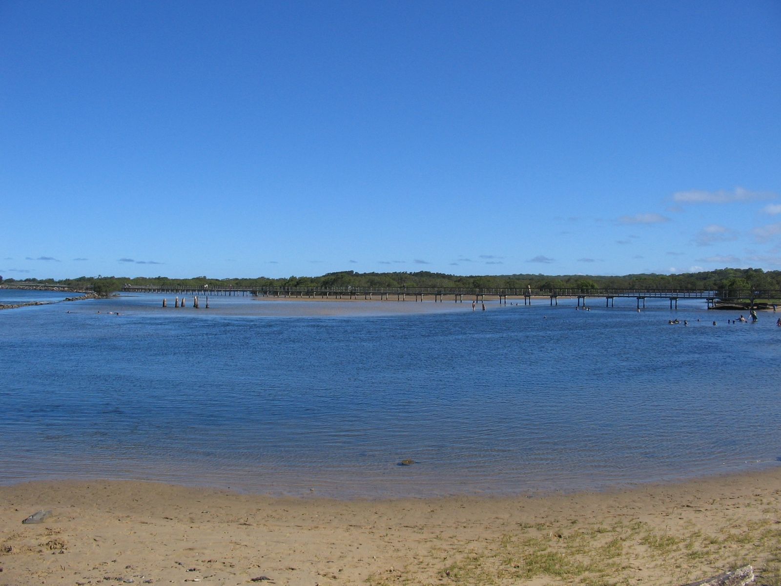
The spot
Community-maintained
Community contribution: submitted by Daniel
Know before you go
Logged by the community, confirmed by mods
Moderate risk: Rip Currents
Frequent and strong rip currents along the open beach, especially near the headland. Swimmers should stay between the flags when patrolled.
Low risk: Sweeping Waves
Consistent ocean swells create a moderate shore break and sweep along the beach, challenging for inexperienced swimmers.
Low risk: Bluebottle (Portuguese Man o' War)
Bluebottle stings are common on this stretch of coast, particularly during northerly winds in warmer months.
Low risk: Swell Wrap
Southerly swell can wrap around the headland on windy days, producing occasional shore dump waves and choppy conditions.
Low risk: Bluebottles
Marine stingers, including bluebottles, may be present in warmer months, especially following north-easterly winds.
Wildlife Guide
No wildlife notes for this spot yet.
Gallery
2 photos from the community
Getting in
Shore entry
Entry
Hungry Head Beach is located just south of Urunga on the Coffs Coast. Turn off Giinagay Way onto Hungry Head Road and follow it to the parking area near the headland lookout. The beach stretches 2 km south from the headland.
Parking & facilities
Formal parking area available near the headland lookout at the end of Hungry Head Road. No vehicles allowed on the beach.
parkingtoiletsshowers
Free
Spot Map
Community
Gallery ┬╖ 2 photos
Trust
Is this spot real, accurate, still loved?
Spots near New South Wales

No nearby spots yet.
Needs verification
Quick verify
One tap helps the community keep this spot honest.
About this data
- Conditions last evaluated
- Spot data last updated
- Data sources
- Open-Meteo (marine & weather conditions), tide predictions via UTide, community contributors (descriptions, hazards, marine life).
- License
- Spot content licensed under CC BY-SA 4.0. How's the Spot is open source.
Weather & swell ┬╖ Open-Meteo marine & weather APIs Tides ┬╖ UTide harmonic analysis Sea & safety ┬╖ community reports