Tucked between towering Norfolk pines on the Macleay Valley Coast, Horseshoe Bay Beach is a sheltered crescent of golden sand that curves around calm, azure waters. Its protected aspect and gentle shoreline makes it a favourite for family swimming, while the rocky outcrops at either end of the bay offer snorkellers curious reef fish and scattered marine life to discover. The beach is patrolled during peak seasons and sits just a short stroll from the heart of South West Rocks, with the famous Fish Rock Cave dive site nearby.
Horseshoe Bay Beach
BeginnerMAYBE
MAYBE
Fair. Experienced snorkellers only.
Showing last known conditions
Wave Height 0.7 mSwell Period 7.3 sWind Speed 11 knPrecipitation 0.0 mmTidal Phase flood
Last evaluated
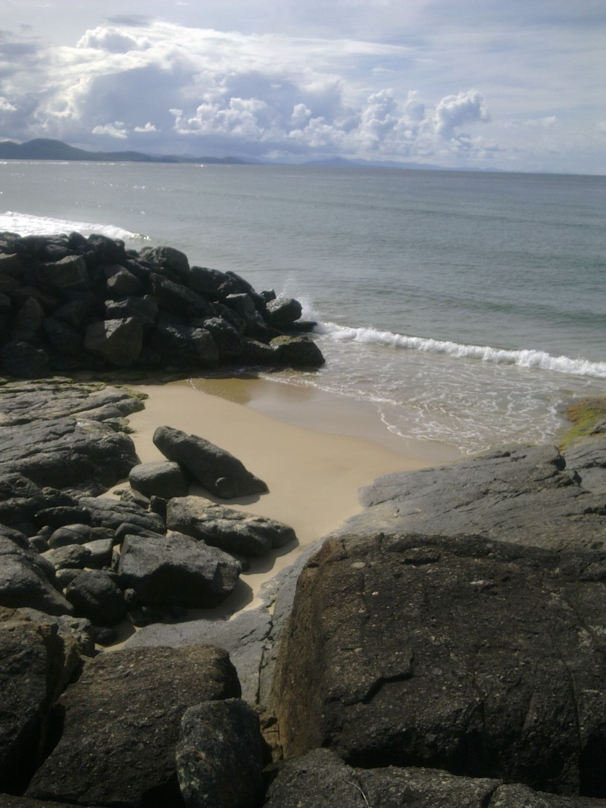 © Tom.s 77
The spot
Community-maintained
Community contribution: submitted by Daniel
Know before you go
Logged by the community, confirmed by mods
Low risk: Surf and shore breaks
During rougher conditions or swells, waves can create shore breaks and rips, particularly near the southern end of the beach.
Low risk: Bluebottle jellyfish
Bluebottles (Portuguese man o' war) can drift into the bay on northeasterly winds, particularly in warmer months.
Low risk: Rocky outcrops at low tide
Exposed and semi-submerged rocks at the bay's northern and southern ends can present cutting hazards; caution advised when snorkelling near them at low tide.
Low risk: Surf break (right-hand)
A top right-hand surf break operates at the northern end of the bay. Can create strong rip currents near the break zone.
Wildlife Guide
No wildlife notes for this spot yet.
Gallery
2 photos from the community
Getting in
Shore entry
Entry
From the Pacific Highway, turn off at Kempsey and follow the signs to South West Rocks (approx. 40 km east). Once in South West Rocks, Horseshoe Bay Beach is located on the eastern side of the township, easily reached via Horseshoe Bay Drive. The beach is a short walk from the main street.
Parking & facilities
Designated car parking area directly adjacent to the beach off Horseshoe Bay Drive. Free parking available.
toiletsparkingshowerspicnic_tablesdrinking_water
No entry fee. The beach is free and open to the public.
Spot Map
Community
Gallery ┬╖ 2 photos
Trust
Is this spot real, accurate, still loved?
Spots near New South Wales

No nearby spots yet.
Needs verification
Quick verify
One tap helps the community keep this spot honest.
About this data
- Conditions last evaluated
- Spot data last updated
- Data sources
- Open-Meteo (marine & weather conditions), tide predictions via UTide, community contributors (descriptions, hazards, marine life).
- License
- Spot content licensed under CC BY-SA 4.0. How's the Spot is open source.
Weather & swell ┬╖ Open-Meteo marine & weather APIs Tides ┬╖ UTide harmonic analysis Sea & safety ┬╖ community reports