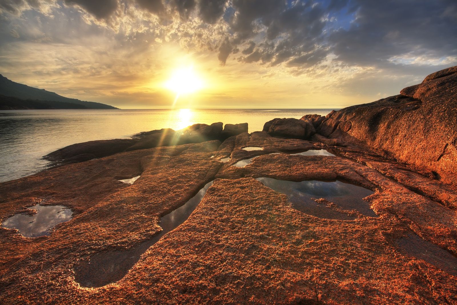
Tucked inside the sheltered waters of Coles Bay in Freycinet National Park, Honeymoon Bay is a tiny, secluded cove framed by smooth pink granite boulders and crystal-clear shallows. The protected bay offers calm, swimmable conditions perfect for snorkeling, with sandy patches interspersed with seagrass meadows that shelter small marine life. The iconic 'Hazards' mountain range forms a dramatic pink-granite backdrop, while the serene, family-friendly waters make this one of Tasmania's most accessible and picturesque snorkeling destinations.
Honeymoon Bay (Coles Bay / Freycinet)
BeginnerGO
GO
It's a go.
Showing last known conditions
Wave Height 0.0 mSwell Period 5.3 sWind Speed 0.8 knPrecipitation 1.8 mmTidal Phase slack
Last evaluated
The spot
Community-maintained
Community contribution: submitted by Daniel
Know before you go
Logged by the community, confirmed by mods
Low risk: Boat traffic
The bay is generally sheltered but boat traffic entering Coles Bay can pass nearby. Stay aware and avoid the channel.
Low risk: Wind chop
On rare days with strong northerly or easterly winds, choppy conditions can develop in the normally calm bay.
Wildlife Guide
No wildlife notes for this spot yet.
Gallery
1 photo from the community
Getting in
Shore entry
Entry
Honeymoon Bay is located within Freycinet National Park, just off Coles Bay Road, approximately 2.5 hours northeast of Hobart. A short walk from the car park leads down a few steps to the sandy beach.
Parking & facilities
Car park located a short walk from the beach; parking within Freycinet National Park.
parkingtoilets
Freycinet National Park entry fee applies (per vehicle/per person — book online or pay at park entrance).
Spot Map
Community
Gallery ┬╖ 1 photos
Trust
Is this spot real, accurate, still loved?
Spots near Tasmania

No nearby spots yet.
Needs verification
Quick verify
One tap helps the community keep this spot honest.
About this data
- Conditions last evaluated
- Spot data last updated
- Data sources
- Open-Meteo (marine & weather conditions), tide predictions via UTide, community contributors (descriptions, hazards, marine life).
- License
- Spot content licensed under CC BY-SA 4.0. How's the Spot is open source.
Weather & swell ┬╖ Open-Meteo marine & weather APIs Tides ┬╖ UTide harmonic analysis Sea & safety ┬╖ community reports