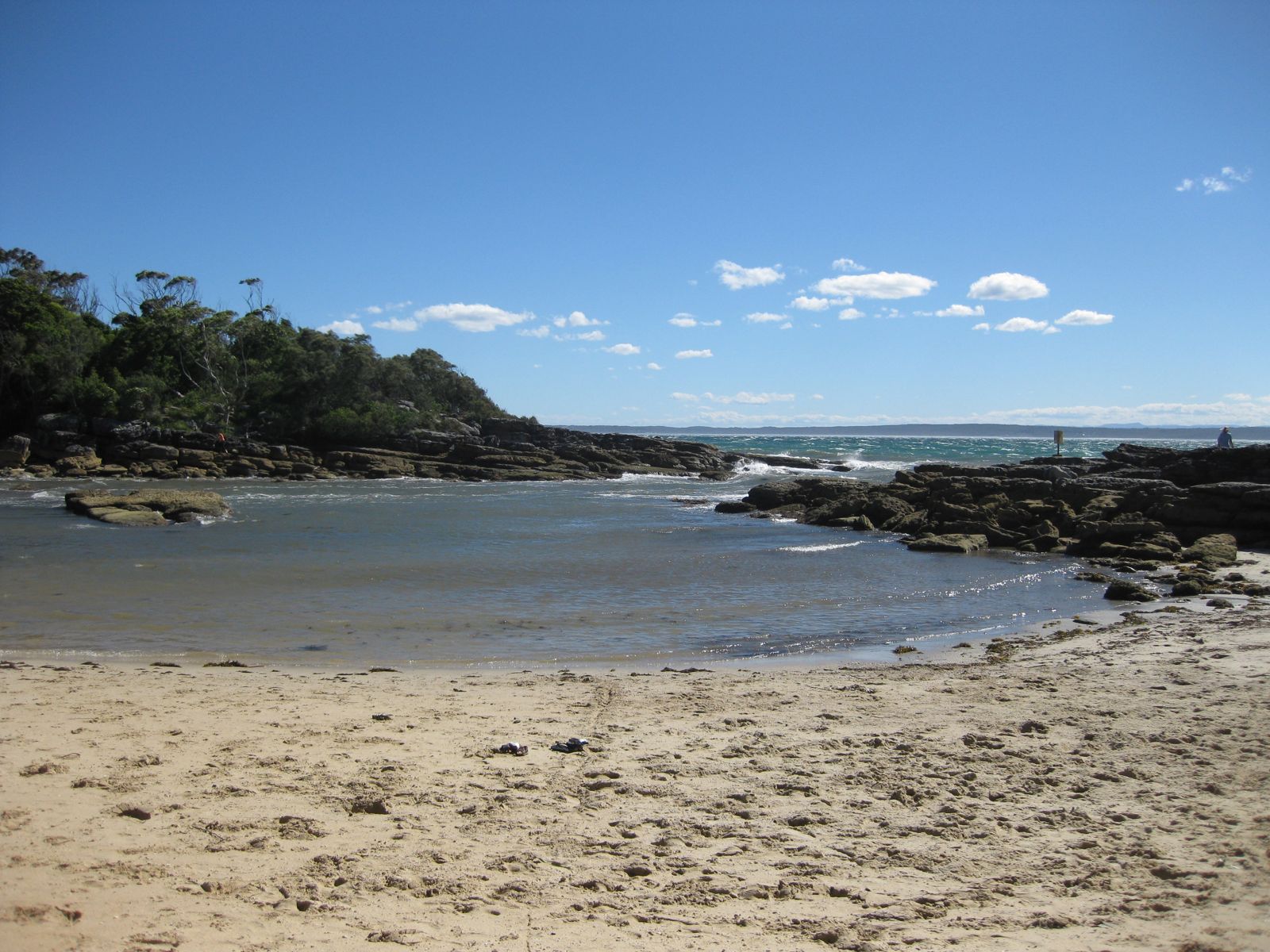
Tucked inside the Beecroft Weapons Range on the northern headland of Jervis Bay, Honeymoon Bay is a small, sheltered crescent of white sand lapped by crystal-clear calm waters. The bay's protected aspect and excellent visibility make it a favourite for shore-based snorkelling, while the rugged headland backdrop and views across Jervis Bay create a strikingly scenic setting. Accessed via a gravel road through Defence land (open weekends and public holidays), this off-the-beaten-track gem rewards visitors with a peaceful, uncrowded beach perfect for a full day of swimming, paddling and exploring the rocky edges.
Honeymoon Bay
BeginnerMAYBE
MAYBE
Fair. Experienced snorkellers only.
Showing last known conditions
Wave Height 0.5 mSwell Period 9.3 sWind Speed 1.8 knPrecipitation 24 mmTidal Phase flood
Last evaluated
 © Phil Whitehouse
The spot
Community-maintained
Community contribution: submitted by Daniel
Know before you go
Logged by the community, confirmed by mods
Moderate risk: No Lifeguards
Honeymoon Bay is an unpatrolled beach with no lifeguard service. Swim at your own risk and exercise caution.
Moderate risk: Weapons Range Access Restrictions
Beecroft Peninsula is active Defence / Navy training land. The public can only access the area on weekends and public holidays, and the gate is locked each evening.
Low risk: Limited Access Days
The bay is located within the Beecroft Weapons Range and is only open to the public on weekends and public holidays — check Defence website before visiting to avoid unexpected closure.
Low risk: Marine Stingers
Bluebottles and jellyfish can appear in Jervis Bay waters during warmer months, particularly from November to March.
Low risk: Rocky Reef Edges
The bay is flanked by rocky headlands and reef platforms that can be sharp underfoot when entering or exiting the water near the sides.
Low risk: Swell Exposure During Storms
While generally calm, the bay can receive increased swell during southerly storms, creating stronger shore breaks and rip-like currents.
Wildlife Guide
No wildlife notes for this spot yet.
Gallery
5 photos from the community
Getting in
Shore entry
Entry
From Currarong, follow Crookhaven Road / Beecroft Road to the Defence entry gate. Proceed along Honeymoon Bay Road (gravel) for several kilometres to the beach car park. Only open to the public on weekends and public holidays — locked gate otherwise.
Parking & facilities
Unsealed gravel car park at the end of Honeymoon Bay Road, approximately 50 m from the beach. No marked bays but ample space for vehicles and small trailers.
toiletspicnic_tablesparking
Free entry, but access is subject to Defence operations and may be closed without notice.
Spot Map
Community
Gallery ┬╖ 5 photos
Trust
Is this spot real, accurate, still loved?
Spots near New South Wales

No nearby spots yet.
Needs verification
Quick verify
One tap helps the community keep this spot honest.
About this data
- Conditions last evaluated
- Spot data last updated
- Data sources
- Open-Meteo (marine & weather conditions), tide predictions via UTide, community contributors (descriptions, hazards, marine life).
- License
- Spot content licensed under CC BY-SA 4.0. How's the Spot is open source.
Weather & swell ┬╖ Open-Meteo marine & weather APIs Tides ┬╖ UTide harmonic analysis Sea & safety ┬╖ community reports